Charleston in Kanawha County, West Virginia — The American South (Appalachia)
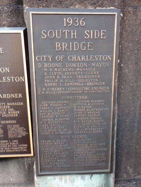
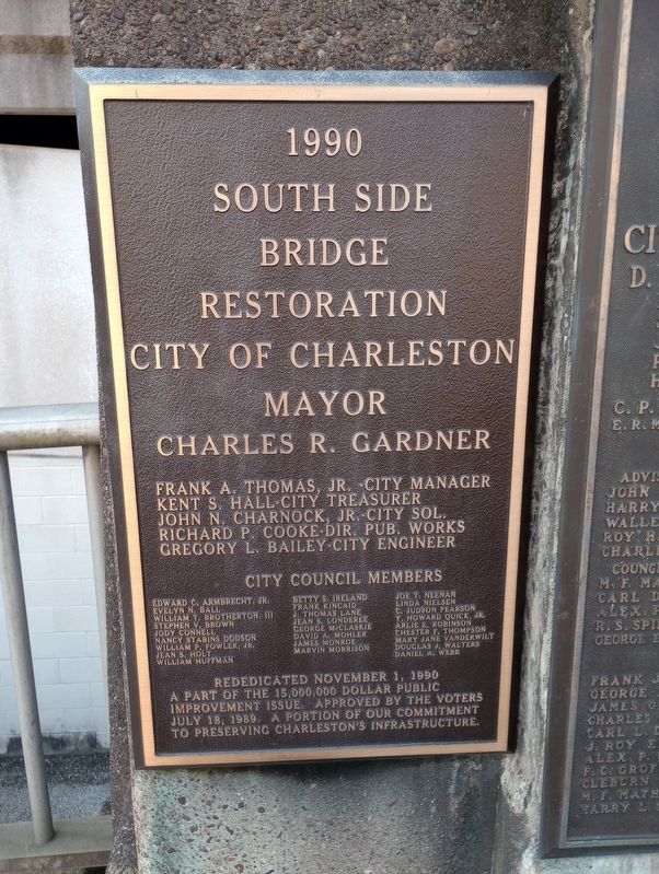
South Side Bridge
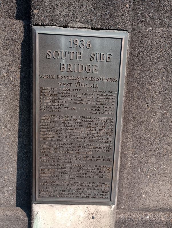
1936
— Works Progress Administration In West Virginia —
Franklin D. Roosevelt - President U.S.A.
Harry L. Hopkins - Federal Administrator
E. Witcher McCullough - State Administrator
E.C. Smith, Jr. - Deputy Administrator & Chief Engineer
S. Grover Smith - Director-Sixth District-W. Va.
J.R. Blackburn - District Engineer
Francis Geo. Davidson - Ass't. District Engineer
Ray C. Parks - Chief Timekeeper
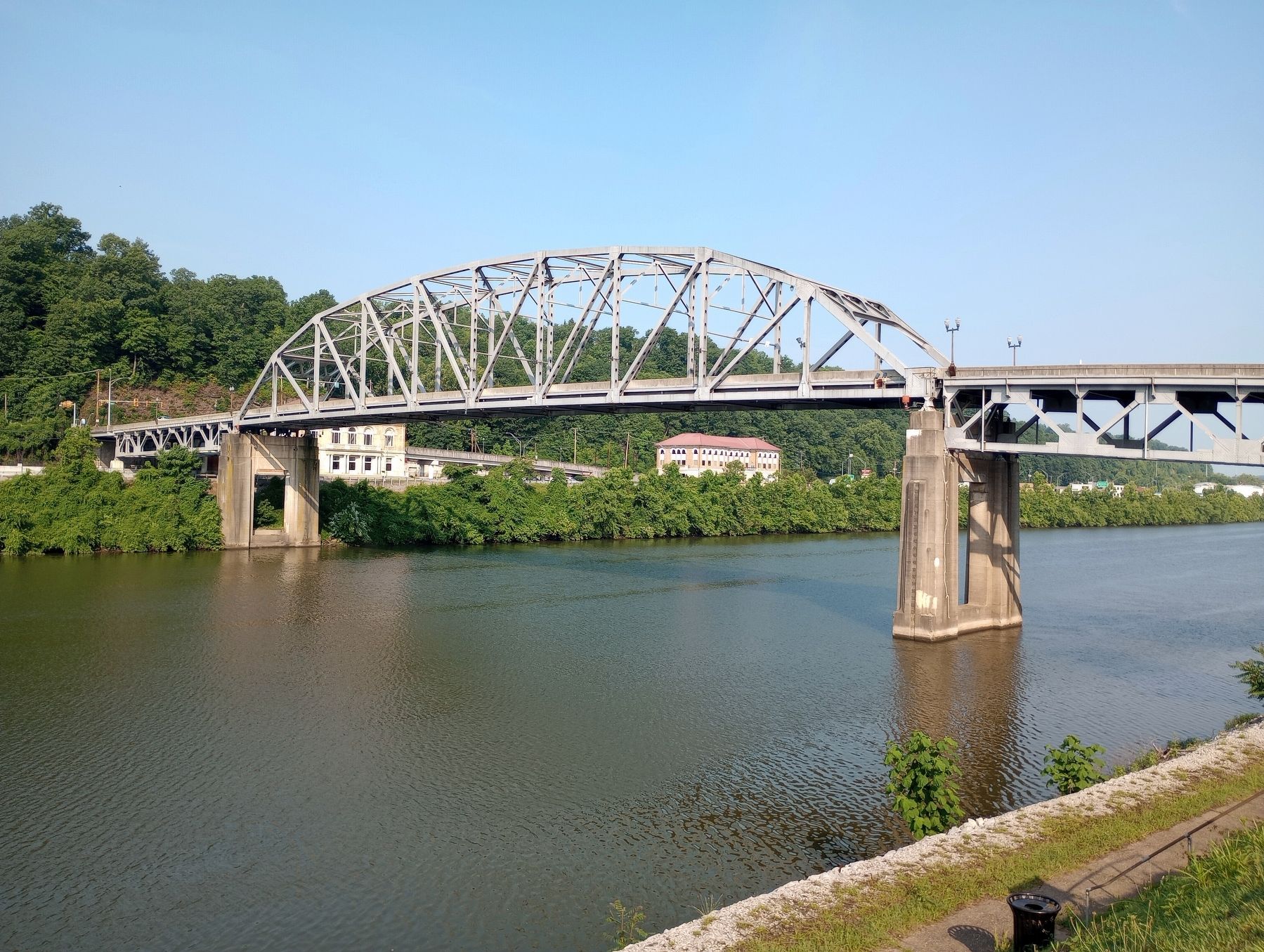
Cooperation of the Federal Government through the Works Progress Administration, made it possible for the people of the City of Charleston to receive this bridge, after all other apparent sources had failed. It replaced the old South Side Bridge on the same site built in 1891, which long had been obsolete and inadequate. Its construction gave work to the otherwise unemployed men of this community.
To this project the Works Progress Administration contributed approximately $312,000, of which $163,000 went for steel and the remainder for labor.
The City of Charleston paid its share of the costs from a $330,000 bridge bond issue, passed on December 5, 1935.
The span over the tracks of the Chesapeake and Ohio Railroad was financed with $40,000 from Federal Works Program grade crossing elimination funds allocated by the West Virginia State Road Commission as project number W.P.G.M. 277.
Preliminary construction was begun January 20, 1936 and the bridge was completed in April 1937.
Steel was fabricated and three main spans erected by the Wisconsin Bridge & Iron Company of Milwaukee, Wisconsin. All other work was done by City of Charleston forces.
Topics and series. This historical marker is listed in these topic lists: Bridges & Viaducts • Charity & Public Work. In addition, it is included in the Works Progress Administration (WPA) projects series list. A significant historical date for this entry is January 20, 1936.
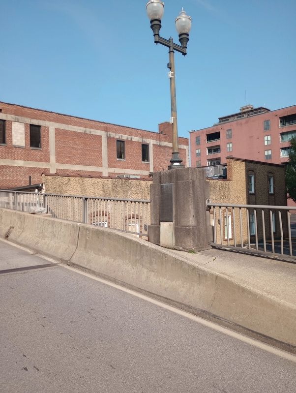
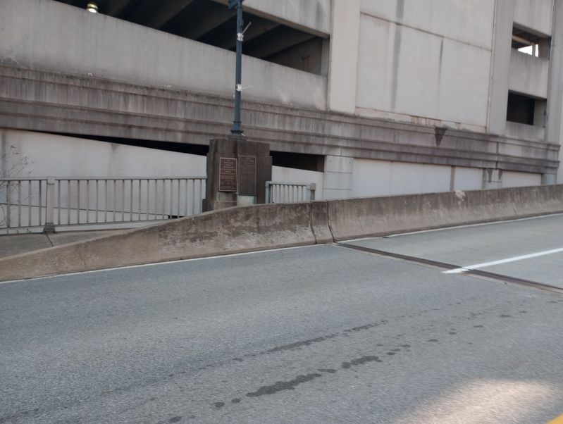
Location. 38° 20.887′ N, 81° 38.124′ W. Marker is in Charleston, West Virginia, in Kanawha County. Marker is on Dickinson Street south of Virginia Street East, on the right when traveling south. Touch for map. Marker is in this post office area: Charleston WV 25301, United States of America. Touch for directions.
Other nearby markers. At least 8 other markers are within walking distance of this marker. Battle of Charleston (about 400 feet away, measured in a direct line); Kanawha United Presbyterian Church (about 400 feet away); The New Deal In Your Community (about 400 feet away); State Capitol Annex (about 500 feet away); Kanawha County Public Library (about 600 feet away); First Presbyterian Church (approx. 0.2 miles away); Saint John's Episcopal Church (approx. 0.2 miles away); State Capitol (approx. 0.2 miles away). Touch for a list and map of all markers in Charleston.
Credits. This page was last revised on July 28, 2023. It was originally submitted on July 19, 2023, by Craig Doda of Napoleon, Ohio. This page has been viewed 50 times since then and 12 times this year. Photos: 1, 2, 3, 4, 5, 6. submitted on July 19, 2023, by Craig Doda of Napoleon, Ohio. • Devry Becker Jones was the editor who published this page.
