Mount Hope in Fayette County, West Virginia — The American South (Appalachia)
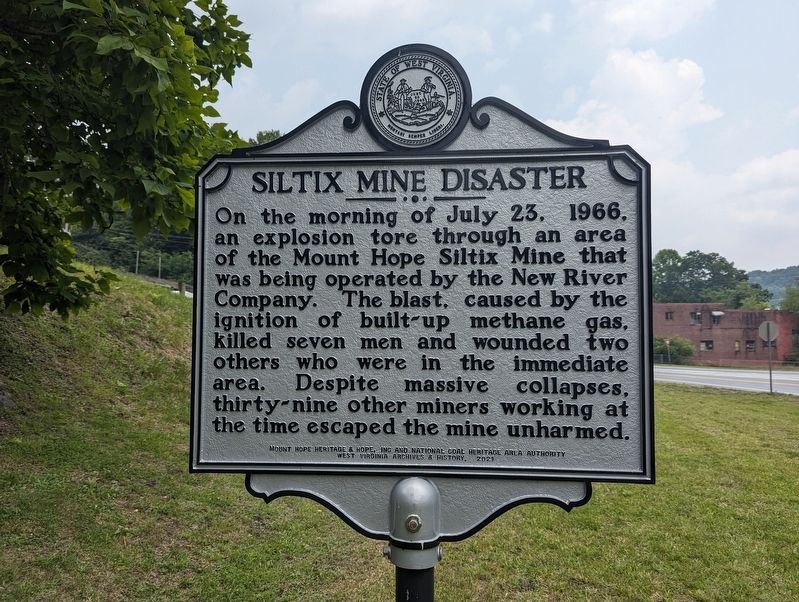
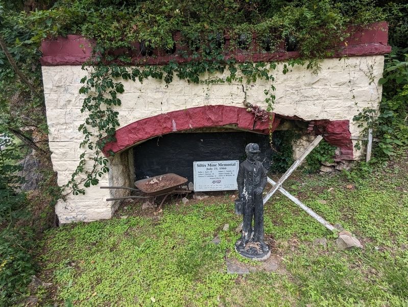
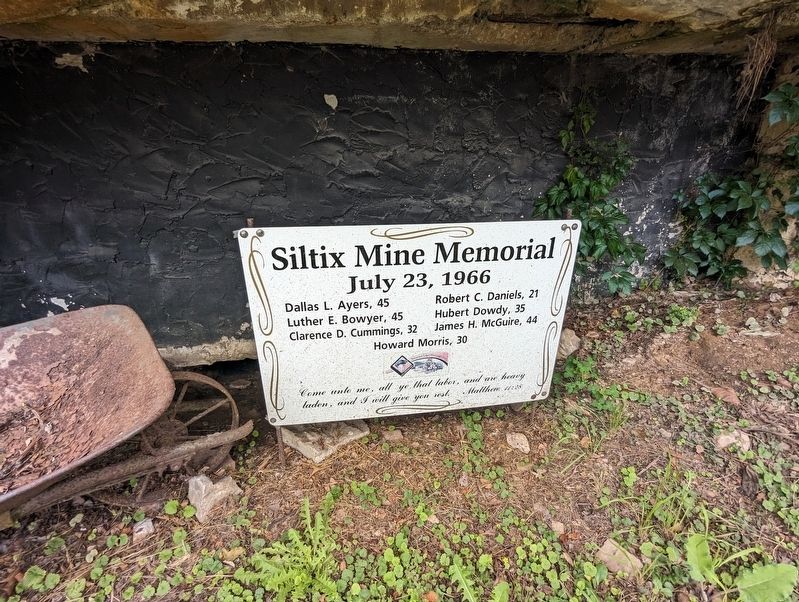
Siltix Mine Disaster
Erected 2021 by Mount Hope Heritage & Hope, Inc. and National Coal Heritage Area Authority - West Virginia Archives and History.
Topics. This historical marker is listed in these topic lists: Disasters • Industry & Commerce. A significant historical date for this entry is July 23, 1966.
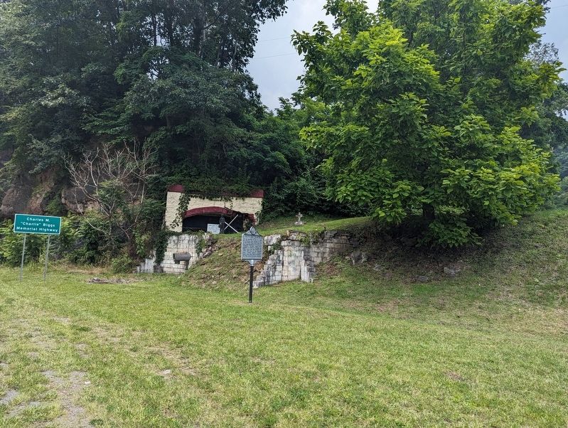
Location. 37° 53.387′ N, 81° 10.559′ W. Marker is in Mount Hope, West Virginia, in Fayette County. Marker is at the intersection of West Virginia Route 16 and West Virginia Route 211, on the right when traveling west on State Route 16. Touch for map. Marker is in this post office area: Mount Hope WV 25880, United States of America. Touch for directions.
Other nearby markers. At least 8 other markers are within walking distance of this marker. The Dunloup Creek Watershed (within shouting distance of this marker); a different marker also named The Dunloup Creek Watershed (within shouting distance of this marker); a different marker also named The Dunloup Creek Watershed (within shouting distance of this marker); The Coal Companies (approx. ¼ mile away); Mine Safety (approx. ¼ mile away); Phoenix City of the New River (approx. ¼ mile away); New River Coalfield (approx. ¼ mile away); The Coming of the Railroads (approx. ¼ mile away). Touch for a list and map of all markers in Mount Hope.
Also see . . . Remembering a disaster. (Submitted on July 19, 2023, by Mike Wintermantel of Pittsburgh, Pennsylvania.)
Credits. This page was last revised on July 19, 2023. It was originally submitted on July 19, 2023, by Mike Wintermantel of Pittsburgh, Pennsylvania. This page has been viewed 81 times since then and 36 times this year. Photos: 1, 2, 3, 4. submitted on July 19, 2023, by Mike Wintermantel of Pittsburgh, Pennsylvania.


