Mount Hope in Fayette County, West Virginia — The American South (Appalachia)
The Dunloup Creek Watershed
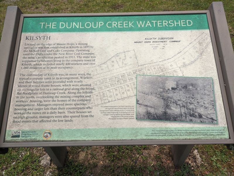
Kilsyth
The community of Kilsyth was, in many ways, the typical company town in its arrangement. Workers and their families were provided with nearly identical wood-frame houses, which were situated on rectangular lots in a rational grid along the broad, flat floodplain of Dunloup Creek. Along the hillside to the north, overlooking the mining complex and workers' housing, were the homes of the company management. Managers enjoyed more spacious housing and larger lots than their counterparts who worked the mines on a daily basis. Their houses set on high ground, managers were also spared from the flood events that affected the low lands.
Erected by USDA - Natural Resources Conservation Service West Virginia.
Topics. This historical marker is listed in these topic lists: Industry & Commerce • Settlements & Settlers. A significant historical year for this entry is 1893.
Location. 37° 53.392′ N, 81° 10.532′ W. Marker is in Mount Hope, West Virginia, in Fayette County. Marker can be reached from the intersection of West Virginia Route 211 and West Virginia Route 16, on the right when traveling west. Touch for map. Marker is at or near this postal address: 3 WV-211, Mount Hope WV 25880, United States of America. Touch for directions.
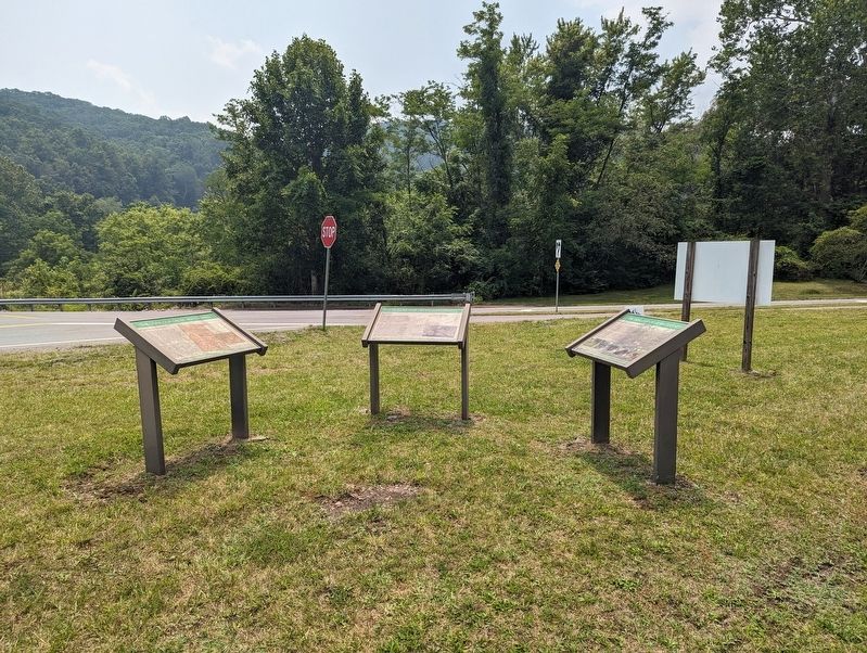
Other nearby markers. At least 8 other markers are within walking distance of this marker. A different marker also named The Dunloup Creek Watershed (here, next to this marker); a different marker also named The Dunloup Creek Watershed (here, next to this marker); Siltix Mine Disaster (within shouting distance of this marker); The Coal Companies (approx. 0.2 miles away); Mine Safety (approx. 0.2 miles away); Phoenix City of the New River (approx. 0.2 miles away); New River Coalfield (approx. 0.2 miles away); The Coming of the Railroads (approx. 0.2 miles away). Touch for a list and map of all markers in Mount Hope.
Credits. This page was last revised on July 19, 2023. It was originally submitted on July 19, 2023, by Mike Wintermantel of Pittsburgh, Pennsylvania. This page has been viewed 67 times since then and 28 times this year. Photos: 1, 2. submitted on July 19, 2023, by Mike Wintermantel of Pittsburgh, Pennsylvania.

