Near Laurel Bloomery in Johnson County, Tennessee — The American South (East South Central)
Washington County, Virginia / Tennessee
Area 604 square miles /
Inscription.
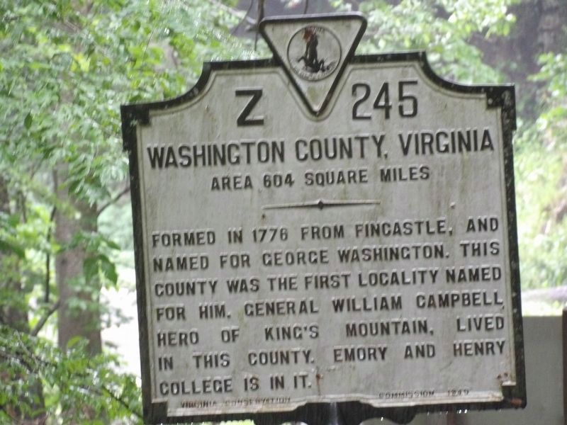
Washington County, Virginia Formed in 1776 from Fincastle, and named for George Washington. This county was the first locality named for him. General William Campbell, hero of King's Mountain, lived in this county. Emory and Henry College is in it.
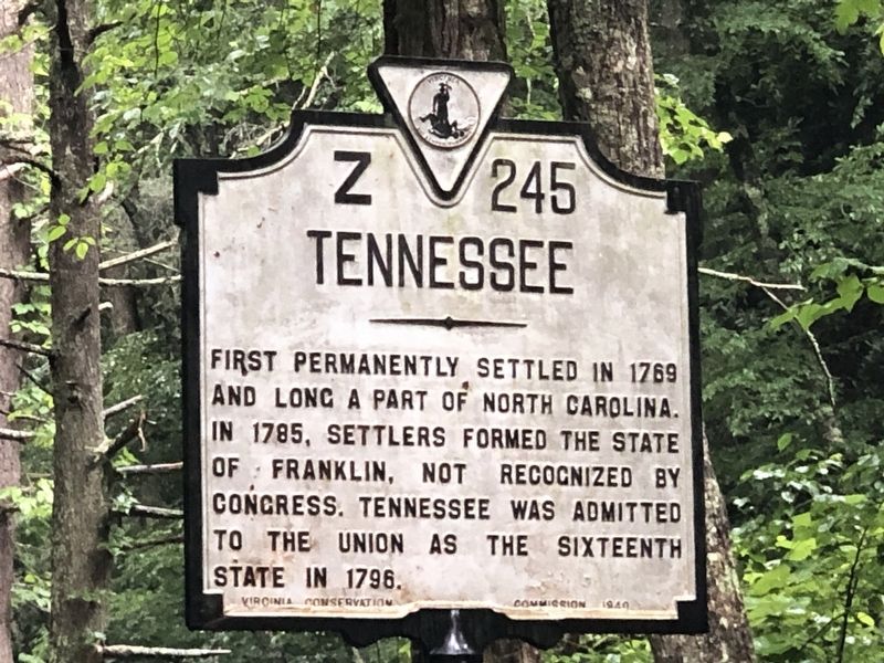
Tennessee First permanently settled in 1769 and long a part of North Carolina. In 1785, settlers formed the State of Franklin, not recognized by Congress. Tennessee was admitted to the union as the sixteenth state in 1796.
Erected 1949 by Virginia Conservation & Development Commission. (Marker Number Z-245.)
Topics and series. This historical marker is listed in this topic list: Political Subdivisions. In addition, it is included in the Virginia Department of Historic Resources (DHR) series list. A significant historical year for this entry is 1776.
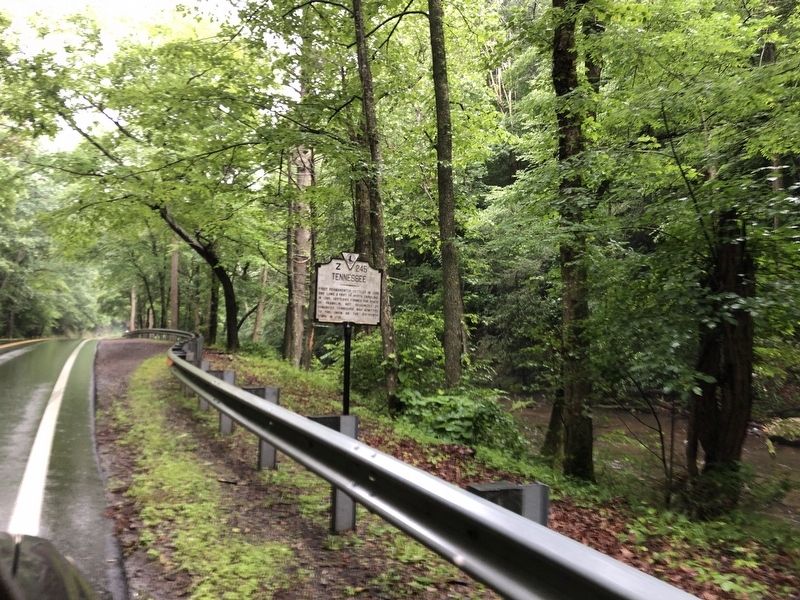
Location. 36° 36.732′ N, 81° 45.253′ W. Marker is near Laurel Bloomery, Tennessee, in Johnson County. Marker is on State Highway 91, 1.6 miles south of Jeb Stuart Highway (U.S. 58), on the right when traveling south. Touch for map. Marker is in this post office area: Laurel Bloomery TN 37680, United States of America. Touch for directions.
Other nearby markers. At least 8 other markers are within 3 miles of this marker, measured as the crow flies. Transition from Rail to Trail (approx. 1.8 miles away in Virginia); Norfolk & Western Camp Car 1940 (approx. 2.2 miles away in Virginia); Legion Island (approx. 2.3 miles away in Virginia); Virginia Creeper Trail (approx. 2.4 miles away in Virginia); Churches of Damascus (approx. 2˝ miles away in Virginia); Damascus Presbyterian Church (approx. 2˝ miles away in Virginia); Electricity Comes to Damascus (approx. 2.6 miles away in Virginia); Damascus Old Mill (approx. 2.6 miles away in Virginia).
Credits. This page was last revised on July 19, 2023. It was originally submitted on July 19, 2023, by Duane and Tracy Marsteller of Murfreesboro, Tennessee. This page has been viewed 86 times since then and 25 times this year. Photos: 1, 2, 3. submitted on July 19, 2023, by Duane and Tracy Marsteller of Murfreesboro, Tennessee.


