Thompsonville in Benzie County, Michigan — The American Midwest (Great Lakes)
Thompsonville Junction / Village of Thompsonville
Inscription.
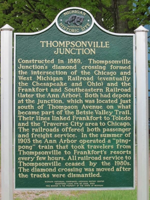
Thompsonville Junction
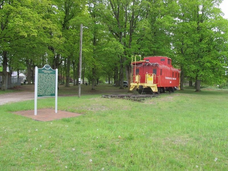
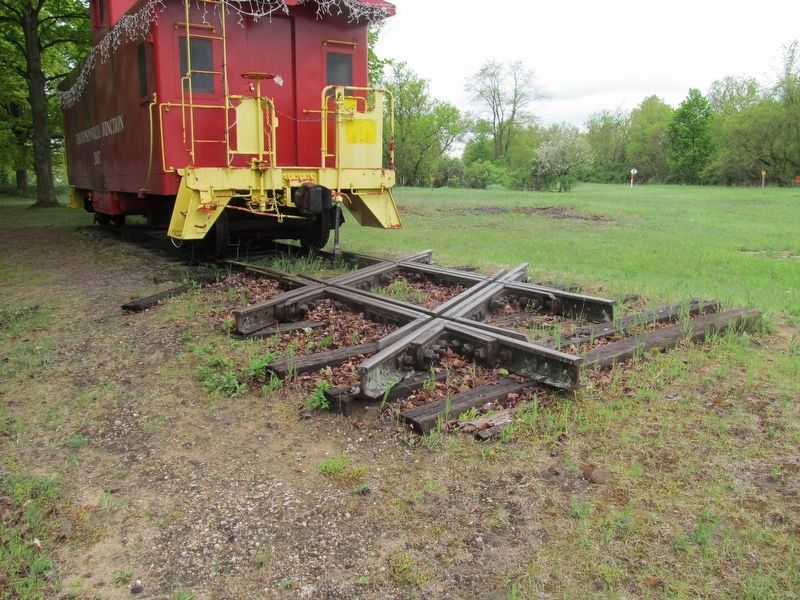
Constructed in 1889, Thompsonville Junction’s diamond crossing formed the intersection of the Chicago and Western Michigan Railroad (eventually the Chesapeake and Ohio) and the Frankfort and Southeastern Railroad (later the Ann Arbor). Both had depots at the junction, which was located just south of Thompson Avenue on what became part of the Betsie Valley Trail. Their lines linked Frankfort to Toledo and the Traverse City area to Chicago. The railroads offered both passenger and freight service. In the summer of 1903 the Ann Arbor operated a “ping-pong” train that took travelers from Thompsonville to Frankfort’s resorts every few hours. All railroad service to Thompsonville ceased by the 1980s. The diamond crossing was moved after the tracks were dismantled.
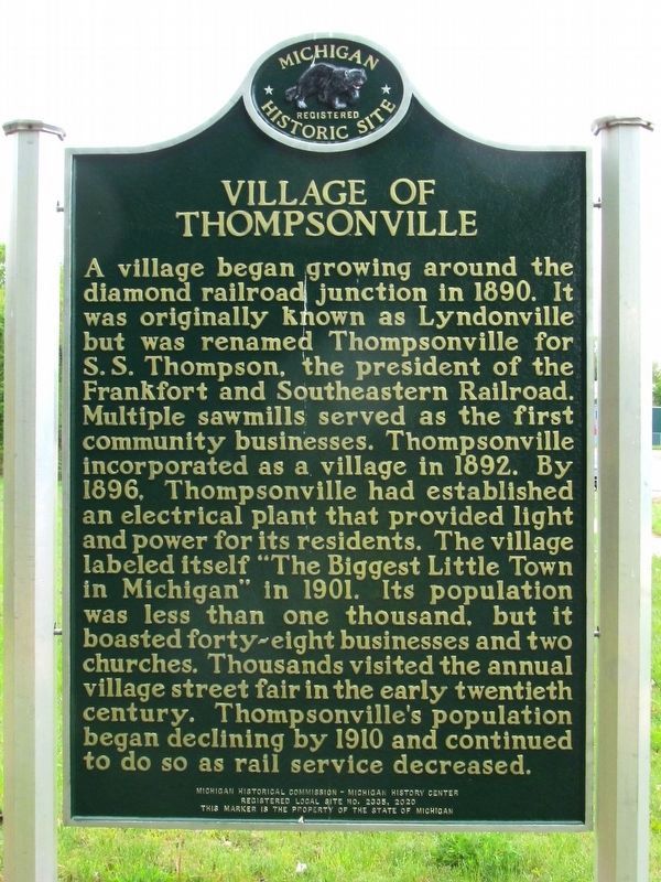
Village of Thompsonville
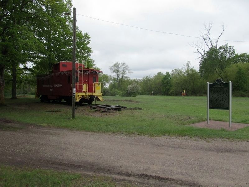
A village began growing around the diamond railroad junction in 1890. It was originally known as Lyndonville but was renamed Thompsonville for S.S. Thompson, the president of the Frankfort and Southeastern Railroad. Multiple sawmills served as the first community businesses. Thompsonville incorporated as a village in 1892. By 1896, Thompsonville had established an electrical plant the provided light and power for its residents. The village labeled itself “The Biggest Little Town in Michigan” in 1901. Its population was less than one thousand, but it boasted forty-eight businesses and two churches. Thousands visited the annual village street fair in the early twentieth century. Thompsonville’s population began declining by 1910 and continued to do so as rail service decreased.
Erected 2020 by Michigan Historical Commission and Michigan History Center. (Marker Number L2335.)
Topics and series. This historical marker is listed in these topic lists: Railroads & Streetcars • Settlements & Settlers. In addition, it is included in the Michigan Historical Commission series list. A significant historical year for this entry is 1889.
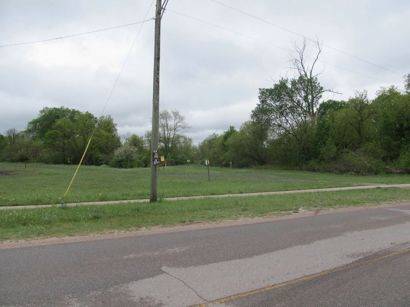
Location. 44° 31.161′ N, 85° 56.403′ W. Marker is in Thompsonville, Michigan, in Benzie County. Marker is on Thompson Avenue, 0.1 miles Michigan Avenue, on the right when traveling east. The marker is located in the village park. Touch for map. Marker is in this post office area: Thompsonville MI 49683, United States of America. Touch for directions.
Other nearby markers. At least 8 other markers are within 11 miles of this marker, measured as the crow flies. Joyfield Cemetery (approx. 8.4 miles away); Site of the First College Building (approx. 10.4 miles away); Benzonia College (approx. 10.4 miles away); Bruce Catton (approx. 10.4 miles away); Mills Community House
(approx. 10.4 miles away); The Bottle House (approx. 10.7 miles away); Honor Area WWII Honor Roll (approx. 10.7 miles away); Crystal Lake (approx. 10.8 miles away).
Credits. This page was last revised on July 22, 2023. It was originally submitted on July 21, 2023, by Paul Fehrenbach of Germantown, Wisconsin. This page has been viewed 62 times since then and 19 times this year. Photos: 1, 2, 3, 4, 5, 6. submitted on July 21, 2023, by Paul Fehrenbach of Germantown, Wisconsin. • J. Makali Bruton was the editor who published this page.
