Blowing Rock in Watauga County, North Carolina — The American South (South Atlantic)
Religious Heritage
| — | Blowing Rock History Walk | — |
Photographed by Duane and Tracy Marsteller, June 24, 2023
1. Religious Heritage Marker
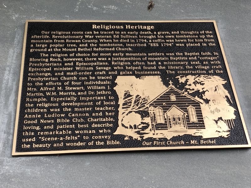
The religion of choice for most early mountain settlers was the Baptist faith. In Blowing Rock, however, there was a juxtaposition of mountain Baptists and “cottager” Presbyterians and Episcopalians. Religion often had a missionary zeal, as with Episcopal minister William Savage who helped found the library, the village craft exchange, and mail-order craft and galax businesses. The construction of the Presbyterian Church can be traced to the efforts of four individuals: Mrs. Alfred M. Stewart, William J. Martin, W.M. Morris, and Dr. Jethro Rumple. Especially important to the religious development of local children was the master teacher, Annie Ludlow Cannon and her Good News Bible Club. Charitable, loving, and patient best describe this
this page online
Caption: Our first church – Mt. Bethel
Erected by Blowing Rock Historical Society • Blowing Rock Village Foundation • Town of Blowing Rock.
Topics. This historical marker is listed in this topic list: Religion & Religious Structures. A significant historical year for this entry is 1794.
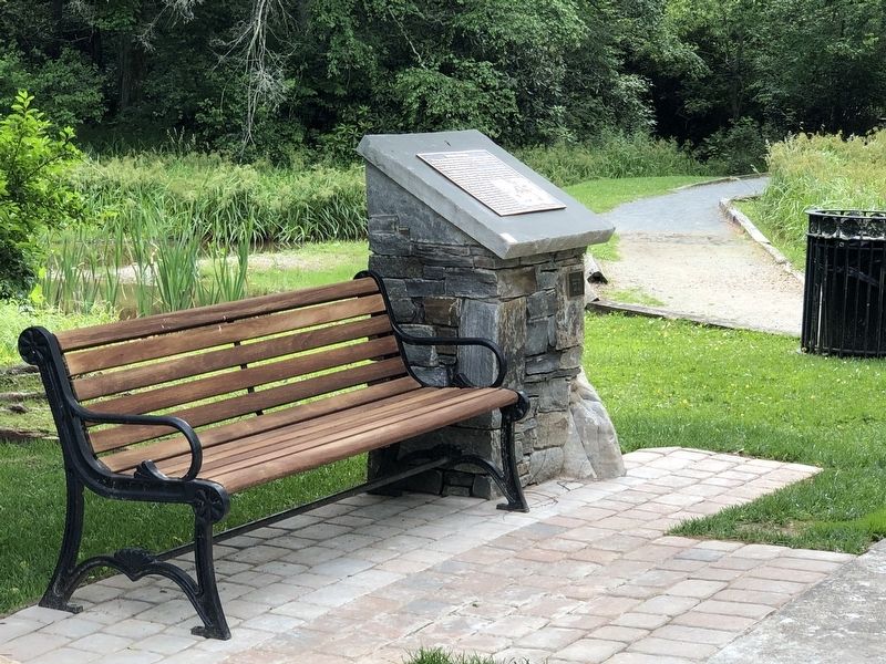
Location. 36° 8.051′ N, 81° 40.892′ W. Marker is in Blowing Rock, North Carolina, in Watauga County. It can be reached from Lakeside Drive 0.1 miles south of Clark Street. Marker is in Broyhill Park. Touch for map. Marker is at or near this postal address: 173 Lakeside Dr, Blowing Rock NC 28605, United States of America. Touch for directions.

Regionally, this marker is in andspecifically he Mountains in the High Country. It is also in the American South, specifically in the Upper South, in Appalachia, and specifically in Southern Appalachia. Globally, it is in North America, the Western Hemisphere, the Western World, and the Anglosphere. Historically, it finds itself in what was once the original Cherokee Nation, the territory of the Mississippian
Photographed by Duane and Tracy Marsteller, June 24, 2023
2. Religious Heritage Marker
Other nearby markers. At least 8 other markers are within walking distance of this marker: Chetola (a few steps from this marker); The Blue Ridge Parkway (within shouting distance of this marker); Philanthropy (within shouting distance of this marker); Medical Care (within shouting distance of this marker); Ski Industry (within shouting distance of this marker); Tourism (within shouting distance of this marker); The Cone Estate and Family (about 300 feet away, measured in a direct line); Early Education (about 300 feet away). Touch for a list and map of all markers in Blowing Rock.
Also see . . . Backstory: Religious Heritage (PDF). The landscape, the weather, temporary versus permanent residents, and the mixture of backgrounds amongst Blowing Rock’s residents would go on to shape the village’s religious practices throughout history. (Blowing Rock Historical Society) (Submitted on July 23, 2023, by Duane and Tracy Marsteller of Murfreesboro, Tennessee.)
Photographed by Duane and Tracy Marsteller, October 30, 2022
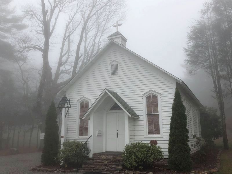
3. Mt. Bethel Reformed Church
Rev. John Ingle organized the church, Blowing Rock's first, in 1882.
Photographed by Duane and Tracy Marsteller, October 30, 2022
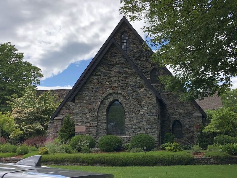
4. Rumple Memorial Presbyterian Church
Organized in 1886, it is named after Rev. Dr. Jethro Rumple, who was pastor of First Presbyterian Church of Salisbury. He was a frequent missionary preacher in the mountains and a summer resident of Blowing Rock in his later years.
Credits. This page was last revised on July 24, 2023. It was originally submitted on July 22, 2023, by Duane and Tracy Marsteller of Murfreesboro, Tennessee. This page has been viewed 225 times since then and 33 times this year. Photos: 1, 2. submitted on July 22, 2023, by Duane and Tracy Marsteller of Murfreesboro, Tennessee. 3, 4. submitted on November 16, 2022, by Duane and Tracy Marsteller of Murfreesboro, Tennessee.
