Downtown Los Angeles in Los Angeles County, California — The American West (Pacific Coastal)
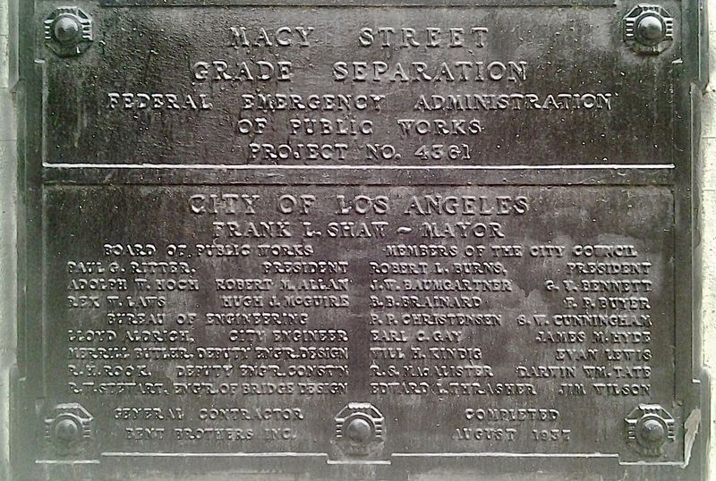
Macy Street Grade Separation
— Cesar Chavez Avenue —
Federal Emergency Administration of Public Works Project No. 4561.
City of Los Angeles, Frank L Shaw - Mayor.
Board of Public Works...
Bureau of Engineering...
Members of the City Council...
General contractor: Bent Brothers Inc.
Completed: August 1937.
Erected 1937.
Topics and series. This historical marker is listed in these topic lists: Bridges & Viaducts • Railroads & Streetcars. In addition, it is included in the Works Progress Administration (WPA) projects series list. A significant historical year for this entry is 1937.
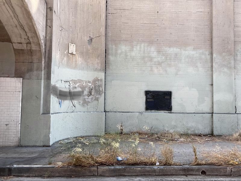
Location. 34° 3.445′ N, 118° 14.095′ W. Marker is in Los Angeles, California, in Los Angeles County. It is in Downtown Los Angeles. Marker is on Cesar E Chavez Avenue east of Alameda Street, on the right when traveling east. Touch for map. Marker is at or near this postal address: 888 N Alameda St, Los Angeles CA 90012, United States of America. Touch for directions.
Other nearby markers. At least 8 other markers are within walking distance of this marker. Los Angeles Union Passenger Terminal (about 500 feet away, measured in a direct line); Union Station (about 700 feet away); a different marker also named Union Station (about 800 feet away); In Memory of Our Ancestors (approx. 0.2 miles away); Sandstone Trough (approx. 0.2 miles away); Placita de Dolores Time Capsule (approx. 0.2 miles away); 1932 Olympic Village Cottage (approx. 0.2 miles away); Zanja Madre (approx. 0.2 miles away). Touch for a list and map of all markers in Los Angeles.
Regarding Macy Street Grade Separation. In February 1934, the Public Works Administration (PWA) granted Los Angeles $304,000 to begin street realignment and improvements necessary for the construction of a new railroad station. The project in its entirety was expected to employ 350 to 400 men.
Union Station was to be located at the historic Los Angeles Plaza. However, preservationist Christine Sterling and Los Angeles Times publisher Harry Chandler successfully lobbied for its construction across Alameda Street, in Chinatown, instead. As a result, Chinatown was demolished and eventually relocated.
According to the Los Angeles Times, the PWA grant would be used, “in addition to street improvement, for sewer construction and the providing of earth for station site fills and grades. Earth for the filling and grading is expected to be excavated from Fort Moore Hill under a contract between the city and County Supervisors, by which
the city is to obtain 250,000 cubic yards of fill for the sum of $1.”
Removal of Fort Moore Hill, which began on April 19, 1934, became the first PWA project undertaken in the City of Los Angeles and the second in the county. At the initiation ceremony — attended by several thousand — Mayor Frank Shaw made the following remarks: “This marks two important steps in our progress, the filling in of the foundation for the Union Station and the removal of another part of Fort Moore hill, long a barrier to traffic and downtown development.”
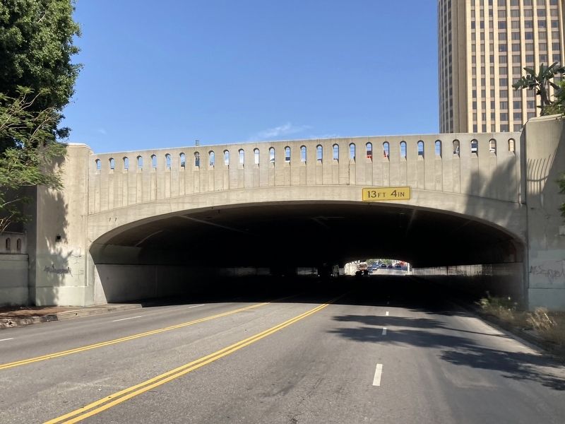
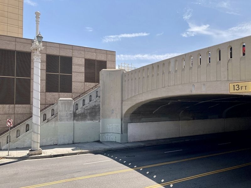
In 1937, the PWA (officially known as the Emergency Administration of Public Works) funded the construction by Bent Brothers, Inc., of a large concrete bridge carrying railroad traffic to Union Station over Macy St. (now Caesar Chavez Ave.).
-from livingnewdeal.org
The tunnel is 500 feet long with 18 sets of railroad tracks on top, along with train loading platforms and employee parking lots.
¼-mile to the east is the Macy Street Viaduct above the L.A. River, built in 1926, declared Los Angeles Historic-Cultural Monument No. 224 in 1979.
Macy Street later became Sunset Boulevard which later became Cesar E Chavez Avenue.
Credits. This page was last revised on November 1, 2023. It was originally submitted on July 23, 2023, by Craig Baker of Sylmar, California. This page has been viewed 63 times since then and 14 times this year. Photos: 1, 2, 3, 4. submitted on July 23, 2023, by Craig Baker of Sylmar, California.


