Marker Logo HMdb.org THE HISTORICAL
MARKER DATABASE
“Bite-Size Bits of Local, National, and Global History”
Beckley in Raleigh County, West Virginia — The American South (Appalachia)
 

Old City Hall (1925-1964)


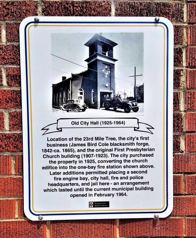
Old City Hall Plaque image. Click for full size.
Photographed By Becky Leach, July 10, 2023
1. Old City Hall Plaque
Inscription. Location of the 23rd Mile Tree, the city's first business (James Bird Cole blacksmith forge, 1842-ca. 1865), and the original First Presbyterian Church building (1907-1923). The city purchased the property in 1925, converting the church edifice into the one-bay fire station shown above. Later additions permitted placing a second fire engine bay, city hall, fire and police headquarters, and jail here - an arrangement which lasted until the current municipal building opened in February 1964.
 
Erected by Raleigh County Historical Society.
 
Topics. This historical marker is listed in this topic list: Government & Politics. A significant historical year for this entry is 1925.
 
Location. 37° 46.619′ N, 81° 11.223′ W. Marker is in Beckley, West Virginia, in Raleigh County. Marker is on South Kanawha Street (West Virginia Route 210) north of Howe Street, on the right when traveling north. Touch for map. Marker is at or near this postal address: 213 S Kanawha St, Beckley WV 25801, United States of America. Touch for directions.
 
Other nearby markers. At least 8 other markers are within walking distance of this marker. Samuel Haas Bridge (23 Jan. 1884 - 27 Mar. 1965) (a few steps from this marker); James Bird Cole (1813-1880) (a few steps from this marker); Beckley (about 400 feet away, measured in a direct line); The Raleigh County Bank (about
Paid Advertisement
Click on the ad for more information.
Please report objectionable advertising to the Editor.
Click or scan to see
this page online
600 feet away); Gen. Alfred Beckley (about 600 feet away); Salvation Wall (about 700 feet away); Site of First State Police Headquarters (about 700 feet away); Civil War Site (about 700 feet away). Touch for a list and map of all markers in Beckley.
 
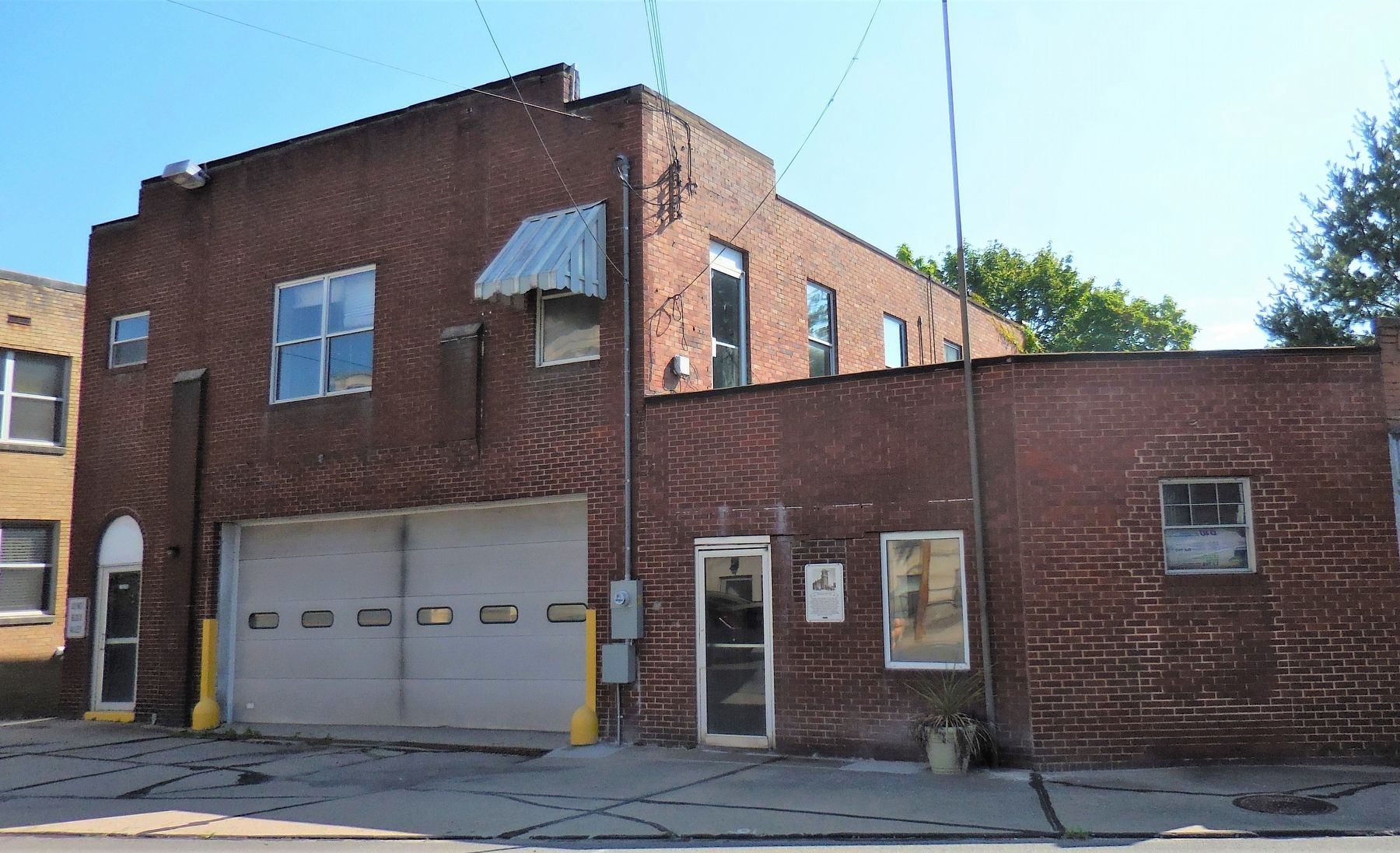
Old City Hall (1925-1964) Marker image. Click for full size.
Photographed By Sam Interdonato, July 11, 2023
2. Old City Hall (1925-1964) Marker
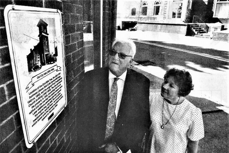
Beckley Mayor Rob Rappold (l) and Historical Society Secretary Becky Leach admire the new plaque. image. Click for full size.
Photographed By Beckley Register-Herald, July 11, 2023
3. Beckley Mayor Rob Rappold (l) and Historical Society Secretary Becky Leach admire the new plaque.
 
 
Credits. This page was last revised on July 28, 2023. It was originally submitted on July 24, 2023, by Merle T. Cole of Daniels, West Virginia. This page has been viewed 59 times since then and 17 times this year. Photos:   1, 2, 3. submitted on July 24, 2023, by Merle T. Cole of Daniels, West Virginia. • Devry Becker Jones was the editor who published this page.
Share this page.  
Share on Tumblr
m=229188

CeraNet Cloud Computing sponsors the Historical Marker Database.
This website earns income from purchases you make after using our links to Amazon.com. We appreciate your support.
Paid Advertisement
Apr. 29, 2024