Napier in Braxton County, West Virginia — The American South (Appalachia)
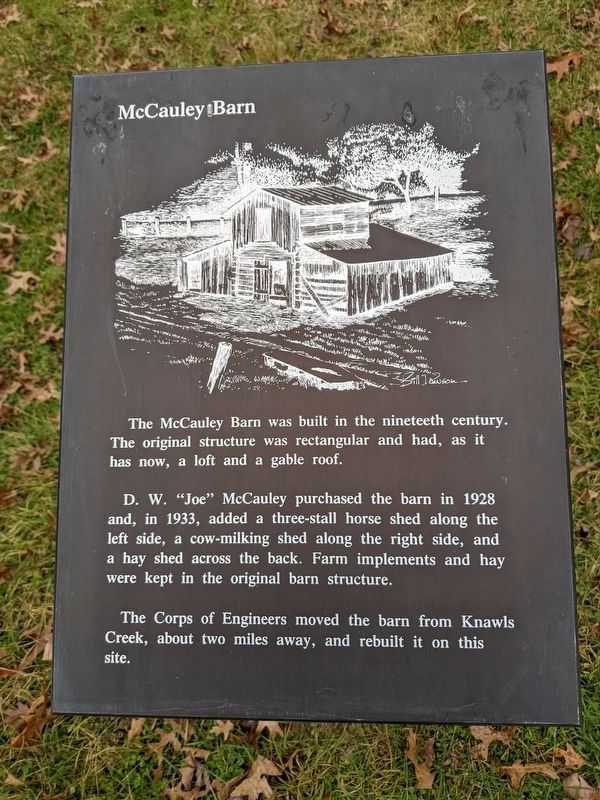
McCauley Barn
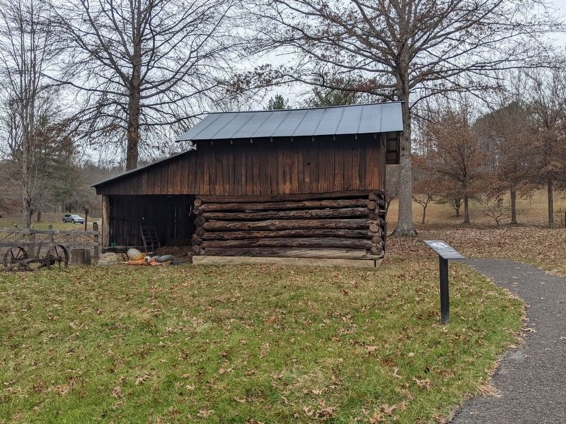
D. W. "Joe" McCauley purchased the barn in 1928 and, in 1933, added a three-stall horse shed along the left side, a cow-milking shed along the right side, and a hay shed across the back. Farm implements and hay were kept in the original barn structure.
The Corps of Engineers moved the barn from Knawls Creek, about two miles away, and rebuilt it on this site.
Topics. This historical marker is listed in this topic list: Notable Buildings. A significant historical year for this entry is 1928.
Location. 38° 47.577′ N, 80° 33.655′ W. Marker is in Napier, West Virginia, in Braxton County. Marker is on Millstone Run Road. Located on the grounds of the Bulltown Historic Site. Touch for map. Marker is at or near this postal address: 799 Millstone Run Rd, Napier WV 26631, United States of America. Touch for directions.
Other nearby markers. At least 8 other markers are within 4 miles of this marker, measured as the crow flies. Food Cellar (within shouting distance of this marker); Coal-and-Wood House (within shouting distance of this marker); Cunningham House (within shouting distance of this marker); Cunningham Farmstead (within shouting distance of this marker); Spring House (within shouting distance of this marker); Battle of Bulltown (within shouting distance of this marker); Bulltown / Bulltown Battle (within shouting distance of this marker); Skirmish at Salt Lick Bridge (approx. 3.4 miles away). Touch for a list and map of all markers in Napier.
Credits. This page was last revised on July 25, 2023. It was originally submitted on July 25, 2023, by Mike Wintermantel of Pittsburgh, Pennsylvania. This page has been viewed 83 times since then and 34 times this year. Photos: 1, 2. submitted on July 25, 2023, by Mike Wintermantel of Pittsburgh, Pennsylvania.

