University of California, Berkeley in Alameda County, California — The American West (Pacific Coastal)
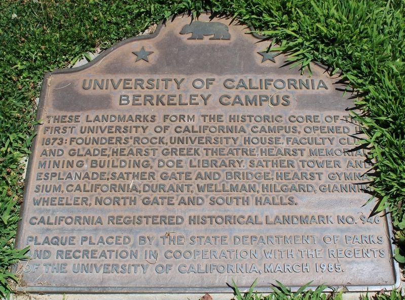
University of California Berkeley Campus
California Registered Historical Landmark No. 946
Plaque placed by the State Department of Parks and Recreation in cooperation with the Regents of the University of California, March 1985.
Erected 1985 by California Department of Parks and Recreation / Regents of the University of California. (Marker Number 946.)
Topics and series. This historical marker is listed in this topic list: Education. In addition, it is included in the California Historical Landmarks series list. A significant historical year for this entry is 1873.
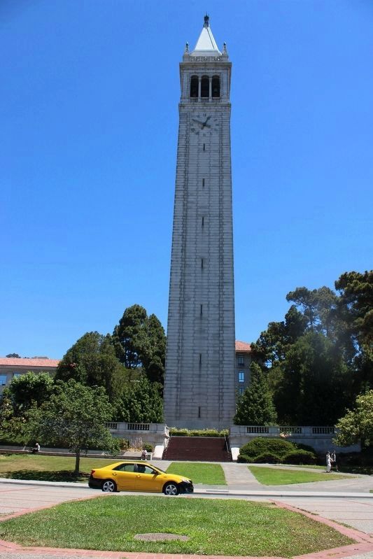
Location. 37° 52.314′ N, 122° 15.511′ W. Marker is in Berkeley, California, in Alameda County. It is in University of California, Berkeley. Marker can be reached from South Hall Road north of Campanile Way, on the right when traveling south. The plaque is in the lawn below (west of) the Sather Tower. Touch for map. Marker is in this post office area: Berkeley CA 94704, United States of America. Touch for directions.
Other nearby markers. At least 8 other markers are within walking distance of this marker. Gilman Hall (about 700 feet away, measured in a direct line); Observatory Hill (approx. 0.2 miles away); Fred Turner Building (approx. ¼ mile away); UC Berkeley Korean War Memorial (approx. ¼ mile away); Ernest V. Cowell Memorial Hospital (approx. ¼ mile away); Ten Speed Press (approx. ¼ mile away); Cloyne Court Hotel (approx. 0.3 miles away); Benjamin Ide Wheeler House and Garden (approx. 0.3 miles away). Touch for a list and map of all markers in Berkeley.
Also see . . . UC Berkeley Histories & Discoveries Timeline.
"The Free Speech Movement, wetsuits, a treatment for malaria and earthquake science. You might be surprised to learn what Berkeley has contributed to the world."(Submitted on July 26, 2023, by Joseph Alvarado of Livermore, California.)
Credits. This page was last revised on July 26, 2023. It was originally submitted on July 26, 2023, by Joseph Alvarado of Livermore, California. This page has been viewed 87 times since then and 31 times this year. Photos: 1, 2. submitted on July 26, 2023, by Joseph Alvarado of Livermore, California.
Editor’s want-list for this marker. Photo of Founders' Rock, University House, Faculty Club and Glade, Hearst Greek Theatre, Hearst Memorial Mining Building, Doe Library, Sather Gate and Bridge, Hearst Gymnasium, California Hall, Durant Hall, Wellman Hall, Hilgard Hall, Giannini Hall, Wheeler Hall, North Gate Hall and South Hall. • Can you help?

