Denville in Morris County, New Jersey — The American Northeast (Mid-Atlantic)
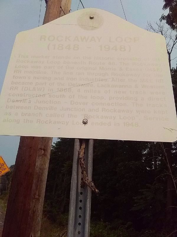
Rockaway Loop
(1848-1948)
This marker stands on the historic crossing of the Rockaway Loop beneath Route 46. The Rockaway Loop was part of the original Morris & Essex (M&E) RR mainline. The line ran through Rockaway for the town's mining and iron industries. After the M&E RR became part of the Delaware, Lackawanna & Western RR (DL&W) in 1868, 4 miles of new track were constructed south of the loop, providing a direct Denville Junction - Dover connection. The tracks between Denville Junction and Rockaway were kept as a branch called the "Rockaway Loop". Service along the Rockaway Loop ended in 1948.
Erected by State of New Jersey.
Topics. This historical marker is listed in this topic list: Railroads & Streetcars. A significant historical year for this entry is 1868.
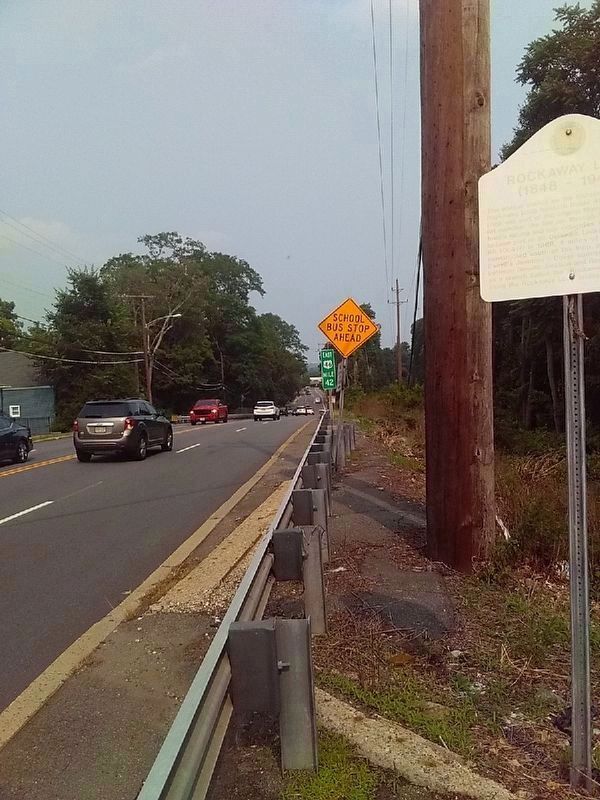
Location. 40° 53.843′ N, 74° 29.751′ W. Marker is in Denville, New Jersey, in Morris County. Marker is on W. Main Street (U.S. 46 at milepost 42), 0.1 miles east of Woodstone Road, on the right when traveling east. Touch for map. Marker is in this post office area: Denville NJ 07834, United States of America. Touch for directions.
Other nearby markers. At least 8 other markers are within 2 miles of this marker, measured as the crow flies. Rockaway Water Power (approx. ¾ mile away); Stephen Jackson House (approx. ¾ mile away); Rockaway World War Memorial (approx. one mile away); Rockaway Civil War Monument (approx. one mile away); Rockaway Presbyterian Church (approx. one mile away); Morris Canal Stone Culvert (approx. one mile away); Job Allen Iron Works (approx. 1.2 miles away); Denville Veterans Memorial (approx. 1.2 miles away). Touch for a list and map of all markers in Denville.
Credits. This page was last revised on August 9, 2023. It was originally submitted on July 29, 2023, by Carl Gordon Moore Jr. of North East, Maryland. This page has been viewed 106 times since then and 39 times this year. Photos: 1, 2. submitted on July 29, 2023, by Carl Gordon Moore Jr. of North East, Maryland. • Andrew Ruppenstein was the editor who published this page.

