Loring Park in Minneapolis in Hennepin County, Minnesota — The American Midwest (Upper Plains)
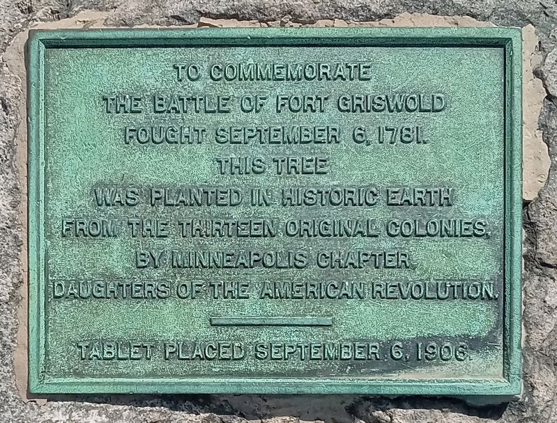
Battle of Fort Griswold
the Battle of Fort Griswold
fought September 6, 1781,
this tree
was planted in historic earth
from the thirteen original colonies.
by Minneapolis Chapter,
Daughters of the American Revolution.
Tablet placed September 6, 1906
Erected 1906 by Daughters of the American Revolution.
Topics and series. This historical marker is listed in this topic list: War, US Revolutionary. In addition, it is included in the Daughters of the American Revolution, and the Historic Trees series lists. A significant historical date for this entry is September 6, 1781.
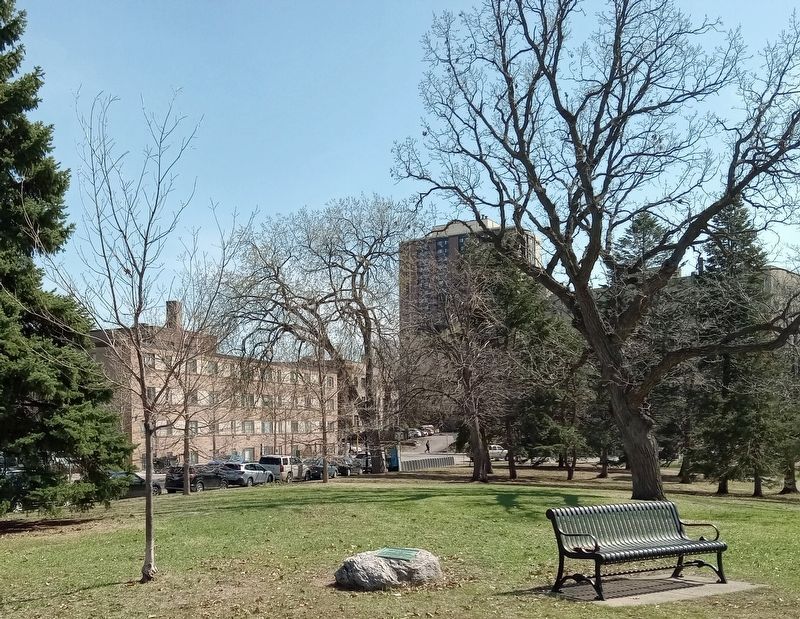
Location. 44° 58.121′ N, 93° 16.933′ W. Marker is in Minneapolis, Minnesota, in Hennepin County. It is in Loring Park. Marker is at the intersection of Willow Street and W. 14th Street, on the right when traveling south on Willow Street. Marker is on a flat boulder in Loring Park. Touch for map. Marker is at or near this postal address: 1382 Willow Street, Minneapolis MN 55403, United States of America. Touch for directions.
Other nearby markers. At least 8 other markers are within walking distance of this marker. Joseph Smith Johnson (a few steps from this marker); The Woman's Club of Minneapolis (about 700 feet away, measured in a direct line); Loring Park: The Devil's Backbone (approx. 0.2 miles away); Loring Park: Historic Districts and Buildings (approx. 0.2 miles away); Loring Park: Basilica and Churches (approx. 0.2 miles away); Loring Park: Loring Greenway and Housing (approx. 0.2 miles away); Loring Park: Neighborhood Organizing (approx. 0.2 miles away); Wesley United Methodist Church (approx. 0.3 miles away). Touch for a list and map of all markers in Minneapolis.
Regarding Battle of Fort Griswold. The Battle of Fort Griswold, better known today as the Battle of Groton Heights, was a pyrrhic British victory in Connecticut during the American Revolution. The 125th anniversary tree is long gone.
Also see . . . The Battle of Fort Griswold on Wikipedia. (Submitted on July 30, 2023, by McGhiever of Minneapolis, Minnesota.)
Credits. This page was last revised on August 7, 2023. It was originally submitted on July 30, 2023, by McGhiever of Minneapolis, Minnesota. This page has been viewed 59 times since then and 14 times this year. Photos: 1, 2. submitted on July 30, 2023, by McGhiever of Minneapolis, Minnesota. • Andrew Ruppenstein was the editor who published this page.

