Laketon Township in Muskegon in Muskegon County, Michigan — The American Midwest (Great Lakes)
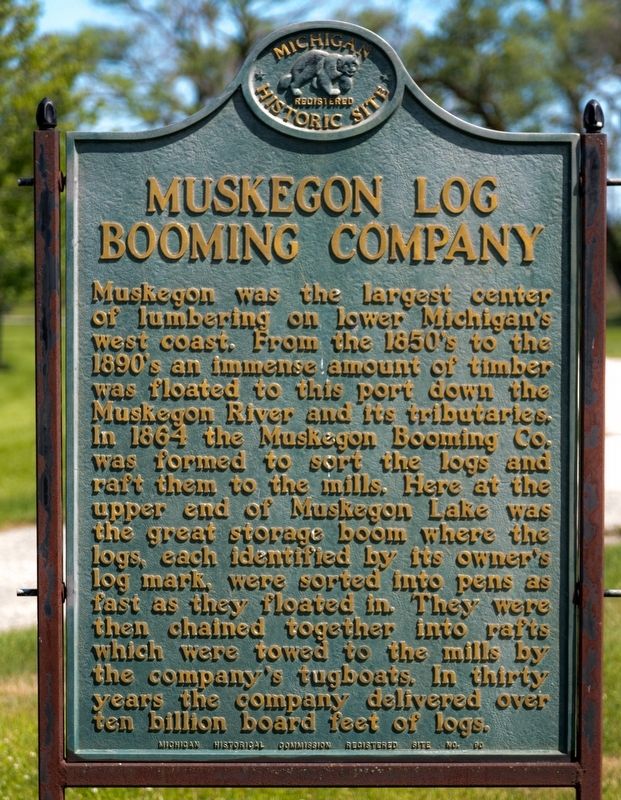
Muskegon Log Booming Company
Erected 1958 by Michigan Historical Commission. (Marker Number 90.)
Topics and series. This historical marker is listed in these topic lists: Horticulture & Forestry • Industry & Commerce. In addition, it is included in the Michigan Historical Commission series list. A significant historical year for this entry is 1864.
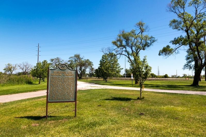
Location. 43° 15.137′ N, 86° 14.127′ W. Marker is in Muskegon, Michigan, in Muskegon County. It is in Laketon Township. Marker is at the intersection of the North Causeway Street southbound ramp (Michigan Route 120) and Business U.S. 31, on the right when traveling south on the North Causeway Street southbound ramp. It is on the circular path that rounds the last remaining booming lagoon in Boom Park (also known as Richards Park). Touch for map. Marker is at or near this postal address: 95 N Causeway St, Muskegon MI 49445, United States of America. Touch for directions.
Other nearby markers. At least 8 other markers are within 2 miles of this marker, measured as the crow flies. Restoration on the South Branch (within shouting distance of this marker); Adelphia Grace Ward (approx. 1.3 miles away); Old Indian Cemetery (approx. 1.3 miles away); Muskegon Woman's Club (approx. 1.4 miles away); Central United Methodist Church (approx. 1˝ miles away); Hackley Public Library (approx. 1˝ miles away); Buster Keaton (approx. 1˝ miles away); Torrent House (approx. 1˝ miles away). Touch for a list and map of all markers in Muskegon.
More about this marker. Marker can no longer be reached from Ottawa Street, as the Ottawa Street bridge over the Muskegon river has been permanently closed to automobile traffic and will likely be removed. It can only be reached from southbound M-120 Causeway. There is an entrance to Richards Park (also known as Boom Park) on the Causeway’s ramp to southbound US Business 31.
Also see . . . Lumbering In Michigan. Museum School Packet with Sample Activities by Maria Quinlan, published by Michigan Technological University. Excerpt:
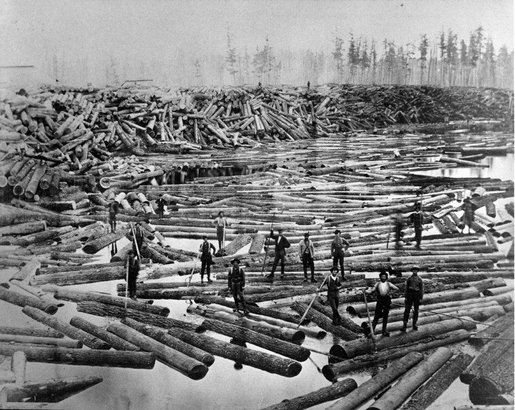
Loggers cut Michigan's white pine during the winter. Men and teams could work easily among the trees when(Submitted on August 1, 2023, by J. J. Prats of Powell, Ohio.)the swampy forest ground was frozen. They piled the logs on the banks of rivers to wait for the spring thaw. When the rivers were swollen with water from the melting snows, the loggers floated the logs to the sawmills. The logs of many lumber companies floated together to the sawmill.
Owners used a heavy marking hammer to mark each end of their logs with a special design, a “log mark.” The log mark let everyone know who owned the log. The log mark was first used near Muskegon in 1842. Each owner registered his mark with the county government. Log piracy was one of the earliest types of “industrial” crime in Michigan. Log thieves sometimes waited for the spring log drives and pulled choice logs from the river. They cut off the log ends and remarked the logs with their own mark.
Credits. This page was last revised on August 2, 2023. It was originally submitted on August 1, 2023, by J. J. Prats of Powell, Ohio. This page has been viewed 146 times since then and 68 times this year. Photos: 1, 2, 3, 4. submitted on August 1, 2023, by J. J. Prats of Powell, Ohio.


