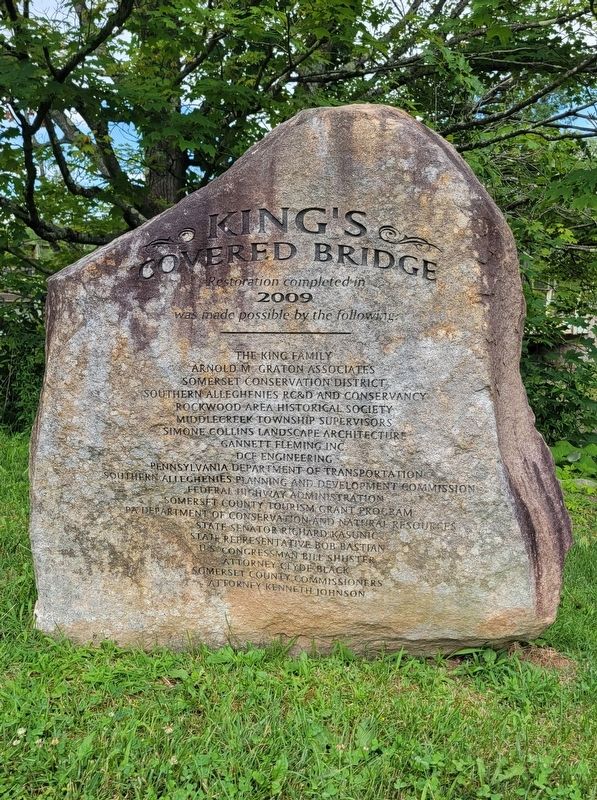
Middlecreek Township near New Centerville in Somerset County, Pennsylvania — The American Northeast (Mid-Atlantic)
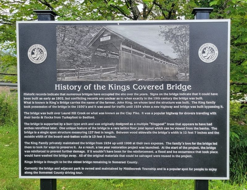
History of the Kings Covered Bridge
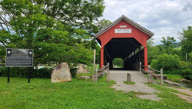
Historic records indicate that numerous bridges have occupied the site over the years. Signs on the bridge indicate that it could have been built as early as 1802, but conflicting records are unclear as to when exactly in the 19th century the bridge was built. What is known is King's Bridge carries the name of the farmer, John King, on whose land the structure was built. The King family took possession of the bridge in the 1930's and it was used for traffic until 1934 when a new highway and bridge was built bypassing it.
The bridge was built over Laurel Hill Creek on what was known as the Clay Pike. It was a popular highway for drovers traveling with their herds & flocks from Turkeyfoot to Bedford.
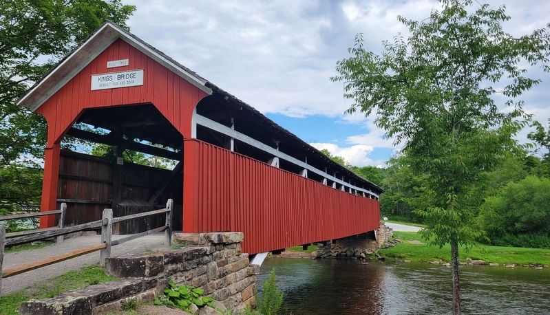
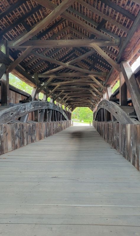
The bridge is supported by a burr type arch and was originally designed as a multiple "Kingpost" truss that appears to have had arches retrofitted later. One unique feature of the bridge is a rare lattice floor joist layout which can be viewed from the banks. The bridge is a single span structure measuring 127 feet in length. Between wood sidewalls the bridge's width is 12 feet 7 inches and the outside width of the board-and-batten walls is 13 feet 5 inches.
The King Family privately maintained the bridge from 1934 up until 1998 at their own expense. The family's love for the bridge led them to look for ways to preserve it. As a result, a ten year restoration project was launched. At the start of the project, the bridge was reinforced to prevent further damage. If it wouldn't have been for the reinforcement, a flood and ice occurrence that took place would have washed the bridge away. All of the original materials that could be salvaged were reused in the project.
Kings Bridge is thought to be the oldest bridge remaining in Somerset County.
Currently the bridge and adjacent park is owned and maintained by Middlecreek Township and is a popular spot for people to enjoy along the Somerset County driving tour.
Erected by Somerset County Tourism Grant Program.
Topics and series. This historical marker is listed in this topic list: Bridges & Viaducts. In addition, it is included in the Covered Bridges series list. A significant historical year for this entry is 1802.
Location. 39° 56.262′ N, 79° 16.292′ W. Marker is near New Centerville, Pennsylvania, in Somerset County. It is in Middlecreek Township. Marker is on Scullton Road (Pennsylvania Route 653) 0.1 miles east of Ream Road (Pennsylvania Route 3035), on the right when traveling east. Marker is located on the west side of the bridge. Touch for map. Marker is in this post office area: Rockwood PA 15557, United States of America. Touch for directions.
Other nearby markers. At least 8 other markers are within 6 miles of this marker, measured as the crow flies. Laurel Hill Creek (a few steps from this marker); History of the Barronvale Covered Bridge (approx. 1.1 miles away); New Centreville (approx. 4 miles away); Capt. William M. Schrock's Civil War Regiment Monument (approx. 4.1 miles away); Site of Gideons German Reformed and Lutheran Church (approx. 4.4 miles away); a different marker also named New Centreville (approx. 4.4 miles away); Roosevelt's Tree Army (approx. 5.6 miles away); Camp Life (approx. 5.6 miles away). Touch for a list and map of all markers in New Centerville.
Credits. This page was last revised on August 2, 2023. It was originally submitted on August 1, 2023, by Bradley Owen of Morgantown, West Virginia. This page has been viewed 110 times since then and 39 times this year. Photos: 1, 2, 3, 4, 5. submitted on August 2, 2023, by Bradley Owen of Morgantown, West Virginia.
