Jamestown Charter Township near Hudsonville in Ottawa County, Michigan — The American Midwest (Great Lakes)
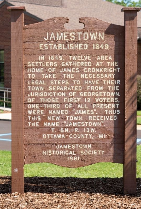
Jamestown
Established in 1849
Township 5N — Range 13W.
Erected 1981 by Jamestown Historical Society.
Topics. This historical marker is listed in this topic list: Political Subdivisions. A significant historical year for this entry is 1849.
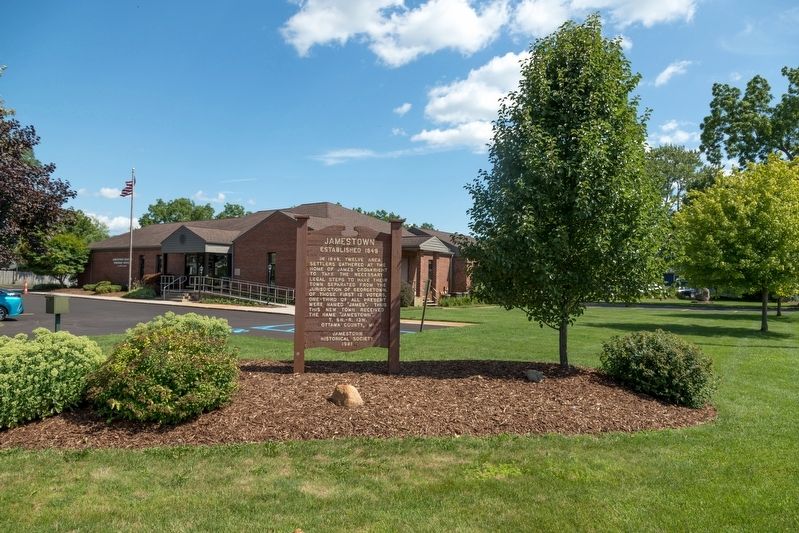
Location. 42° 49.531′ N, 85° 50.521′ W. Marker is near Hudsonville, Michigan, in Ottawa County. It is in Jamestown Charter Township. Marker is at the intersection of Riley Street and 24th Avenue, on the right when traveling west on Riley Street. Touch for map. Marker is at or near this postal address: 2380 Riley St, Hudsonville MI 49426, United States of America. Touch for directions.
Other nearby markers. At least 8 other markers are within 9 miles of this marker, measured as the crow flies. Jamestown Veterans Park (within shouting distance of this marker); 1869 Vriesland Reformed Church / 1869 Vriesland Reformed Church Building (approx. 5.1 miles away); Drenthe Christian Reformed Church (approx. 5.7 miles away); Byron Township Hall (approx. 6 miles away); Jenison Museum (approx. 6.1 miles away); Oakland Christian Reformed Church (approx. 7 miles away); P. Henry De Pree / P. Henry De Pree House (approx. 8.6 miles away); 126th Infantry (approx. 8.6 miles away).
Also see . . . Wikipedia Entry.
James Cronkright and his wife were the first settlers in the township. In 1843 they settled in Section 11 in where they built a 16 X 22 foot house. The closest neighbors were over four miles away and there were no roads. Bears, wolves, deer and other wild animals were common. Some were important for food. S.L. Gitchel first settled on the SW corner of Sec.1 in 1845 and finally on Sec.33. He became a specialist in making small bridges and corduroy roads. Monsur Brown, parents of Mrs. Gitchel, followed in 1846 settling in the SE corner of Sec. 11 with a son James M. Brown who was married three years later. He also settled in Sec.11. More families followed from the east but some Hollanders were entering from the west. Later Germans entered from the south.(Submitted on August 3, 2023.)
Credits. This page was last revised on August 3, 2023. It was originally submitted on August 3, 2023, by J. J. Prats of Powell, Ohio. This page has been viewed 91 times since then and 32 times this year. Photos: 1, 2, 3. submitted on August 3, 2023, by J. J. Prats of Powell, Ohio.


