Pratt in Pratt County, Kansas — The American Midwest (Upper Plains)
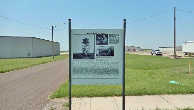
Aircraft Control Tower
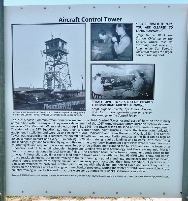
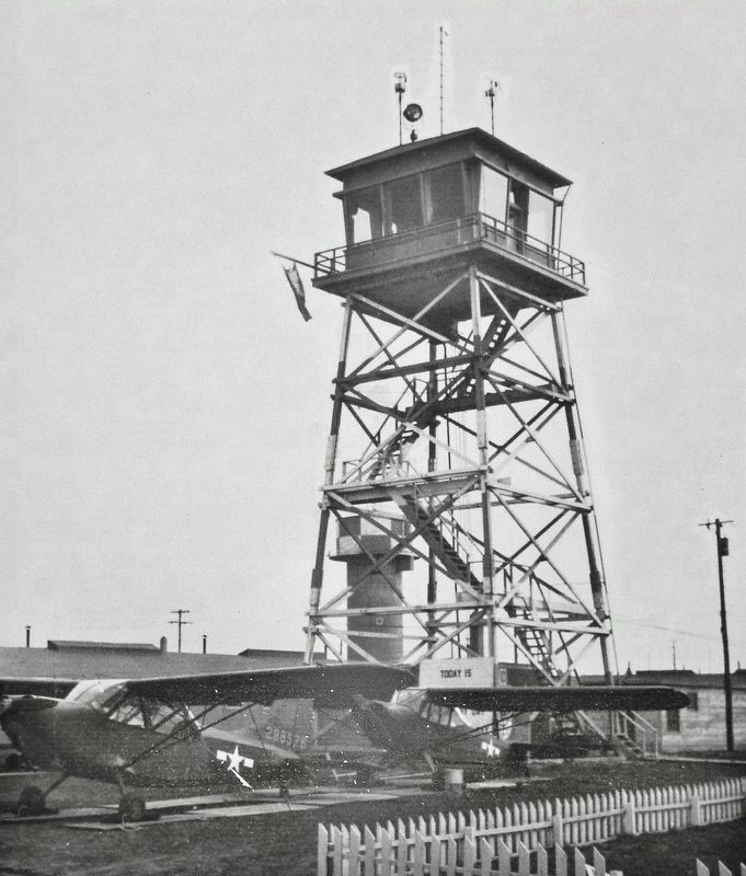
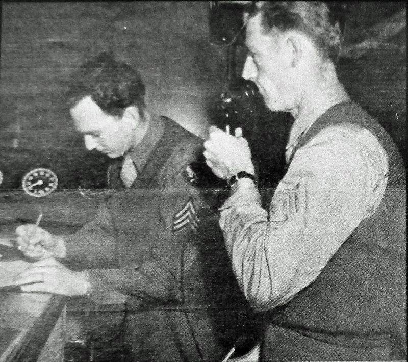
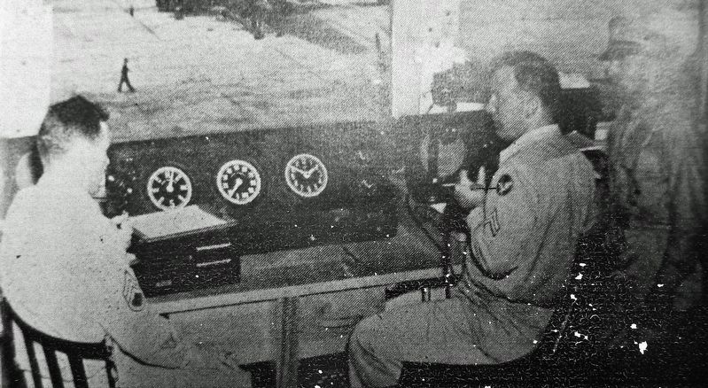
The 23rd Airways Communication Squadron manned the PAAF Control Tower located east of here on the runway apron in-line with the hangers. They were a detachment of the 106th Army Airways Communication System stationed in Kansas City, Missouri. When assigned on April 11, 1943, the tower wasn't finished and was without equipment. The staff of the 23rd Squadron got out their carpenter tools, paint brushes, made the tower communication equipment installation and were up and going for PAAF Dedication and Open House on May 2, 1943. The Control Tower was responsible for clearances for aircraft take-offs and landings. Radio contacts at the field ran as high as 30,000 a month (almost one every 1.5 minutes!). B-29 pilot training required landings and takeoffs, Instrument flying and landings, night and formation flying, and this kept the tower busy. Instrument Flight Plans were required for cross country flights and required tower clearance. Two or three enlisted men climbed the 67 steps and ran the tower on a 6 hours-on and 12 hours-off schedule. Instrument Landing was new technology and the crew manned Marker Beacons in Jeeps stationed in local farmers fields. The Localizer beam came from a permanent truck close to the runway. At times pilots could not see to land and the tower was busy with dust, fog, 65 MPH wind, snow, and smoke from barracks chimneys. During the training of the first bomb group, belly landings, landing gear not down or locked, ground loops, crashes from engine failure, and runaway props occupied their busy schedule. Operators with binoculars watched for problems, notified pilots landing with wheels up, and helped avoid accidents. They had fire trucks on the field for aircraft with engine or mechanical problems. During the winter of 1944 crews were doing cross country training in Puerto Rico and squadrons were gone at times for 4 weeks, so business was slow.
Copyright © 2015 B-29 Museum Inc. - Funded in part by the Recreational Trails Program administered by the Kansas Department of Wildlife, Parks and Tourism - Sign by Lowen Sign, Hutchinson, KS.
Erected by Kansas Department of Wildlife, Parks and Tourism; B-29 Museum; City of Pratt; and Airport Authority.
Topics. This historical marker is listed in these topic lists: Air & Space • Architecture • Communications • War, World II. A significant historical date for this entry is May 2, 1943.
Location. 37° 42.249′ N, 98° 44.553′ W. Marker is in Pratt, Kansas, in Pratt County. Marker is on Flint Road just west of Kennedy Avenue, on the right when traveling west. Marker is about 2 blocks west of the B-29 All Veterans Memorial. Touch for map
. Marker is at or near this postal address: 40131 Barker Avenue, Pratt KS 67124, United States of America. Touch for directions.
Other nearby markers. At least 8 other markers are within walking distance of this marker. Base Operations Building (a few steps from this marker); The City of "PAAF-Ville" (a few steps from this marker); Norden Bombsight Vaults (a few steps from this marker); Celestial Navigation and Bombing Trainer (within shouting distance of this marker); Link Aviation Flight Simulation Trainer (within shouting distance of this marker); PAAF - Pratt Army Airfield (about 400 feet away, measured in a direct line); Pratt Army Air Field Historical Walk (about 400 feet away); Pratt Army Air Field and the B-29 "Superfortress" (about 500 feet away). Touch for a list and map of all markers in Pratt.
Related markers. Click here for a list of markers that are related to this marker. Pratt Army Air Field Historical Walk
Also see . . . Army Airfield, Pratt, Kansas. Excerpt:
This photograph shows the base operation tower at the Army Air Field in Pratt, Kansas. The facility housed and prepared members of the United States Army Air Force for overseas operations during World War II.(Submitted on August 6, 2023, by Cosmos Mariner of Cape Canaveral, Florida.)
Credits. This page was last revised on August 8, 2023. It was originally submitted on August 5, 2023, by Cosmos Mariner of Cape Canaveral, Florida. This page has been viewed 54 times since then and 11 times this year. Photos: 1, 2, 3, 4, 5. submitted on August 6, 2023, by Cosmos Mariner of Cape Canaveral, Florida.
