Pratt in Pratt County, Kansas — The American Midwest (Upper Plains)
Base Operations Building
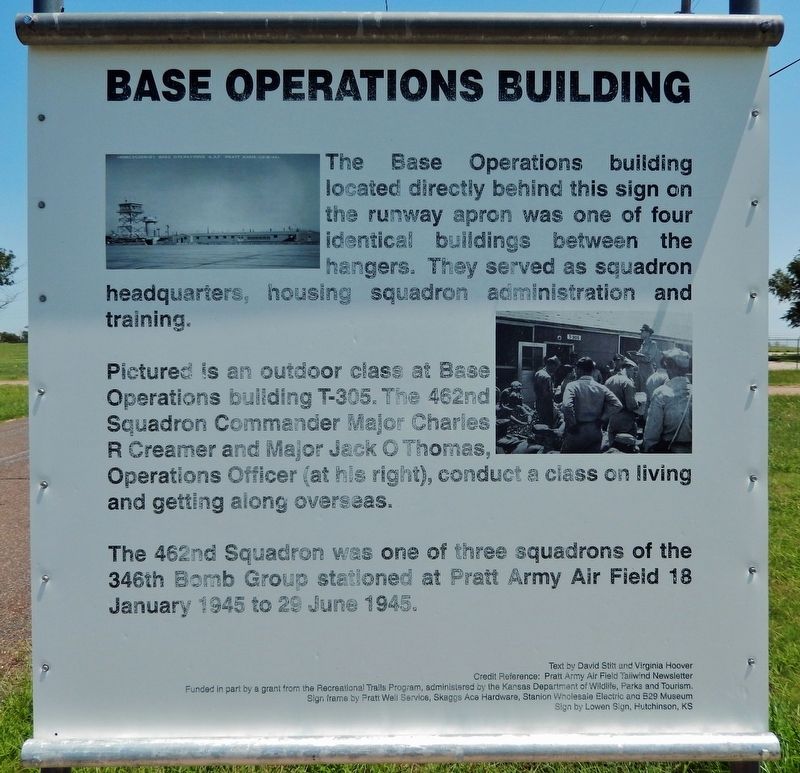
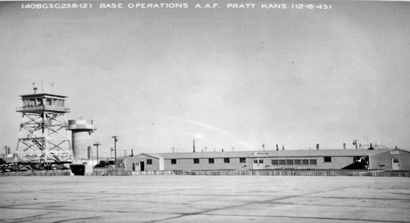
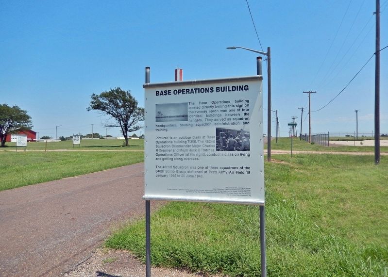
The Base Operations building located directly behind this sign on the runway apron was one of four identical buildings between the hangers. They served as squadron headquarters, housing squadron administration and training.
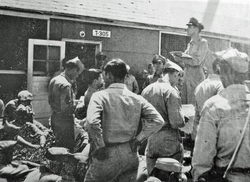
Pictured is an outdoor class at Base Operations building T-305. The 462nd Squadron Commander Major Charles R Creamer and Major Jack O Thomas, Operations Officer (at his right), conduct a class on living and getting along overseas.
The 462nd Squadron was one of three squadrons of the 346th Bomb Group stationed at Pratt Army Air Field 18 January 1945 to 29 June 1945.
Text by David Stitt and Virginia Hoover
Credit Reference: Pratt Army Air Field Tailwind Newsletter
Funded in part by a grant from the Recreational Trails Program, administered by the Kansas Department of Wildlife, Parks and Tourism.
Sign frame by Pratt Well Service, Skaggs Ace Hardware, Stanion Wholesale Electric and B29 Museum
Sign by Lowen Sign, Hutchinson, KS
Erected by Kansas Department of Wildlife, Parks and Tourism; B-29 Museum; City of Pratt; and Airport Authority.
Topics. This historical marker is listed in these topic lists: Air & Space • Education • War, World II. A significant historical date for this entry is January 18, 1945.
Location. 37° 42.244′ N, 98° 44.553′ W. Marker is in Pratt, Kansas, in Pratt County. Marker is on Flint Road just west of Kennedy Avenue, on the left when traveling west. Marker is about 2 blocks west of the B-29 All Veterans Memorial. Touch for map. Marker is at or near this postal address: 40131 Barker Avenue, Pratt KS 67124, United States of America. Touch for directions.
Other nearby markers. At least 8 other markers are within walking distance of this marker. The City of "PAAF-Ville" (here, next to this marker); Aircraft Control Tower (a few steps from this marker); Norden Bombsight Vaults (a few steps from this marker); Celestial Navigation and Bombing Trainer (within shouting distance of this marker); Link Aviation Flight Simulation Trainer (within shouting distance of this marker); PAAF - Pratt Army Airfield (about 400 feet away, measured in a direct line); Pratt Army Air Field Historical Walk (about 400 feet away); Pratt Army Air Field and the B-29 "Superfortress" (about 600 feet away). Touch for a list and map of all markers in Pratt.
Related markers. Click here for a list of markers that are related to this marker. Pratt Army Air Field Historical Walk
Credits. This page was last revised on August 8, 2023. It was originally submitted on August 5, 2023, by Cosmos Mariner of Cape Canaveral, Florida. This page has been viewed 146 times since then and 99 times this year. Photos: 1, 2, 3, 4. submitted on August 6, 2023, by Cosmos Mariner of Cape Canaveral, Florida.


