Pratt in Pratt County, Kansas — The American Midwest (Upper Plains)
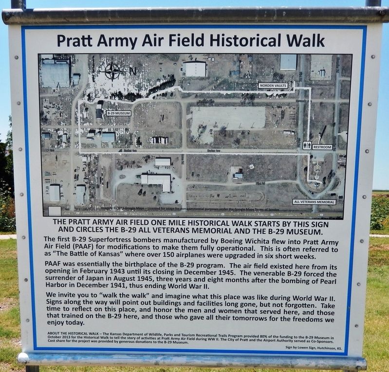
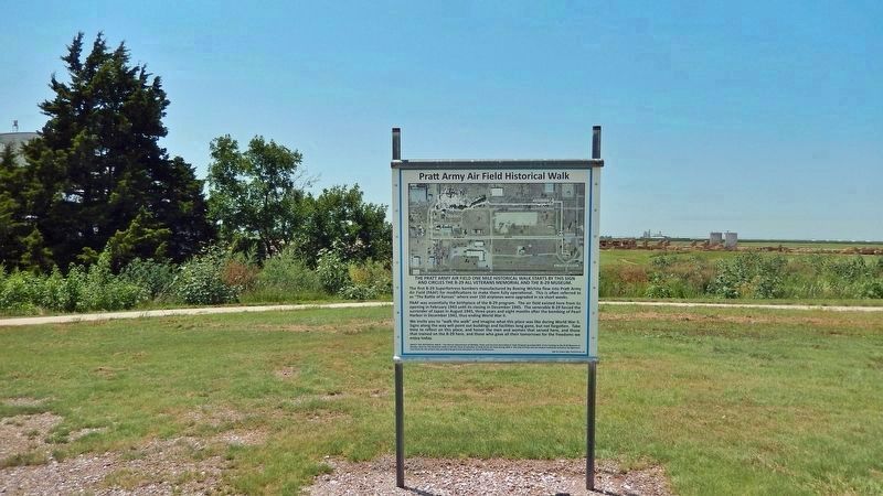
Pratt Army Air Field Historical Walk
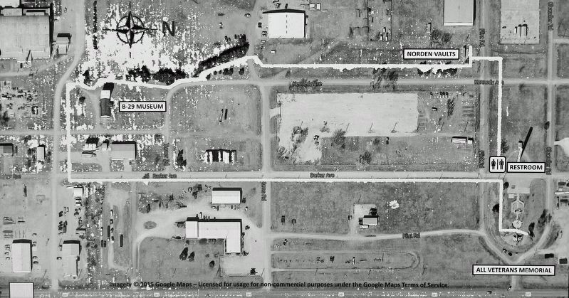
The Pratt Army Air Field one mile historical walk starts by this sign and circles the B-29 All Veterans Memorial and the B-29 Museum.
The first B-29 Superfortress bombers manufactured by Boeing Wichita flew into Pratt Army Air Field (PAAF) for modifications to make them fully operational. This is often referred to as "The Battle of Kansas" where over 150 airplanes were upgraded in six short weeks.
PAAF was essentially the birthplace of the B-29 program. The air field existed here from its opening in February 1943 until its closing in December 1945. The venerable B-29 forced the surrender of Japan in August 1945, three years and eight months after the bombing of Pearl Harbor in December 1941, thus ending World War II.
We invite you to "walk the walk" and imagine what this place was like during World War II. Signs along the way will point out buildings and facilities long gone, but not forgotten. Take time to reflect on this place, and honor the men and women that served here, and those that trained on the B-29 here, and those who gave all their tomorrows for the freedoms we enjoy today.
ABOUT THE HISTORICAL WALK — The Kansas Department of Wildlife, Parks and Tourism Recreational Trails Program provided 80% of the funding to the B-29 Museum in October 2013 for the Historical Walk to tell the story of activities at Pratt Army Air Field during WW II. The City of Pratt and the Airport Authority served as Co-Sponsors. Cost share for the project was provided by generous donations to the B-29 Museum. Sign by Lowen Sign, Hutchinson, KS.
Topics. This historical marker is listed in these topic lists: Air & Space • Education • War, World II. A significant historical month for this entry is February 1943.
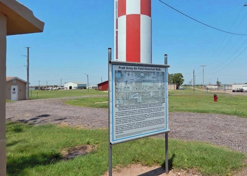
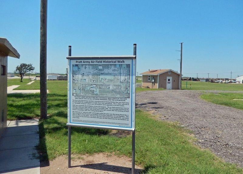
Location. 37° 42.261′ N, 98° 44.462′ W. Marker is in Pratt, Kansas, in Pratt County. Marker is on Barker Avenue just north of Flint Road, on the left when traveling north. Marker is located on the south side of the landmark red-and-white PAAF water tower, and on the west side of the B-29 All Veterans Memorial. Touch for map. Marker is at or near this postal address: 40131 Barker Avenue, Pratt KS 67124, United States of America. Touch for directions.
Other nearby markers. At least 8 other markers are within walking distance of this marker. PAAF - Pratt Army Airfield (a few steps from this marker); Pratt Army Air Field and the B-29 "Superfortress" (within shouting distance of this marker); Pratt Army Air Field WW II Timeline (within shouting distance of this marker); B-29 All Veterans Memorial (within shouting distance of this marker); Pratt Army Air Field (within shouting distance of this marker); 45th Bombardment Squadron (VH) Honored Dead (within shouting distance of this marker); 29th Bomb Group (within shouting distance of this marker); 58th Bomb Wing (within shouting distance of this marker). Touch for a list and map of all markers in Pratt.
More about this marker. An identical copy of this marker is located at the south end of the Pratt Army Air Field Historical Walk, near the B-29 Museum on Curran Road at Morris Avenue.
Related markers. Click here for a list of markers that are related to this marker. Pratt Army Air Field Historical Walk
Credits. This page was last revised on August 8, 2023. It was originally submitted on August 5, 2023, by Cosmos Mariner of Cape Canaveral, Florida. This page has been viewed 73 times since then and 14 times this year. Photos: 1, 2, 3, 4, 5. submitted on August 6, 2023, by Cosmos Mariner of Cape Canaveral, Florida.
