St. Francois Township in Greenville in Wayne County, Missouri — The American Midwest (Upper Plains)
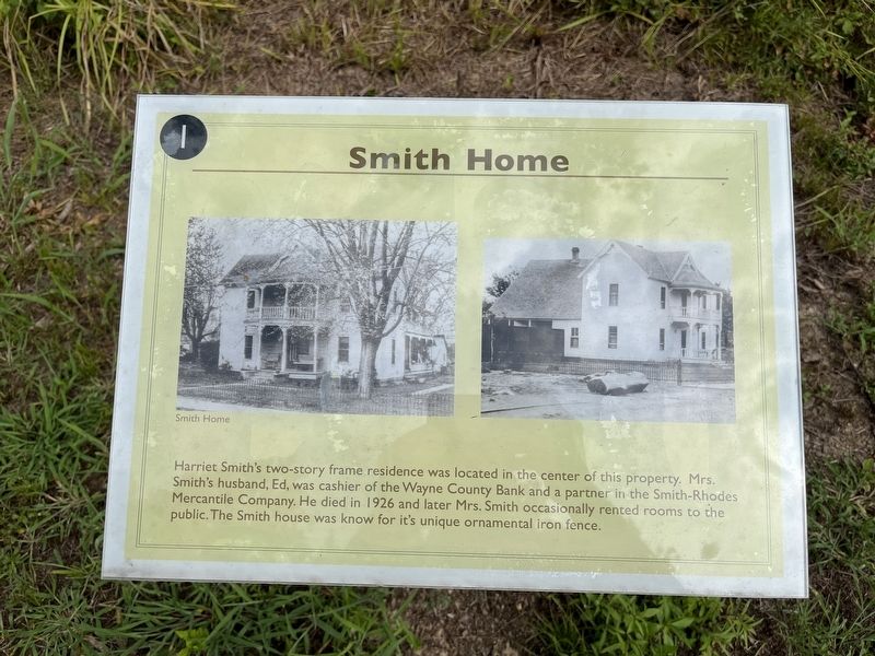
Smith House
Topics. This historical marker is listed in this topic list: Notable Buildings. A significant historical year for this entry is 1926.
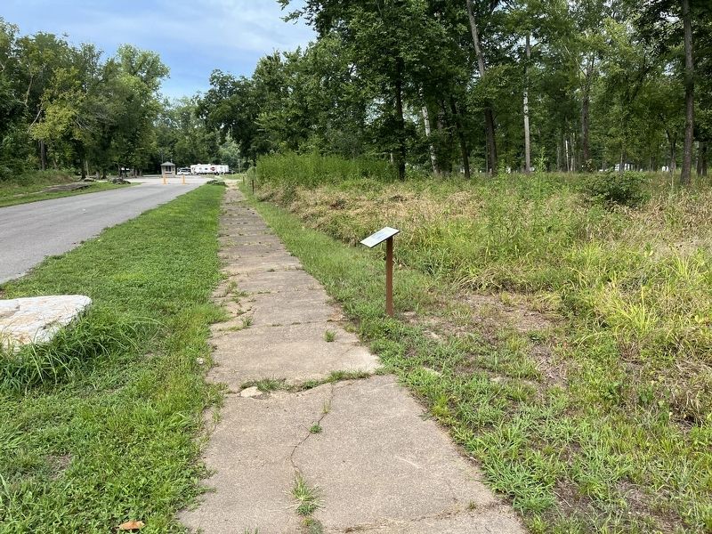
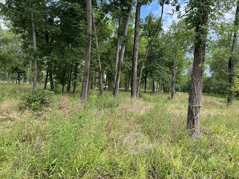
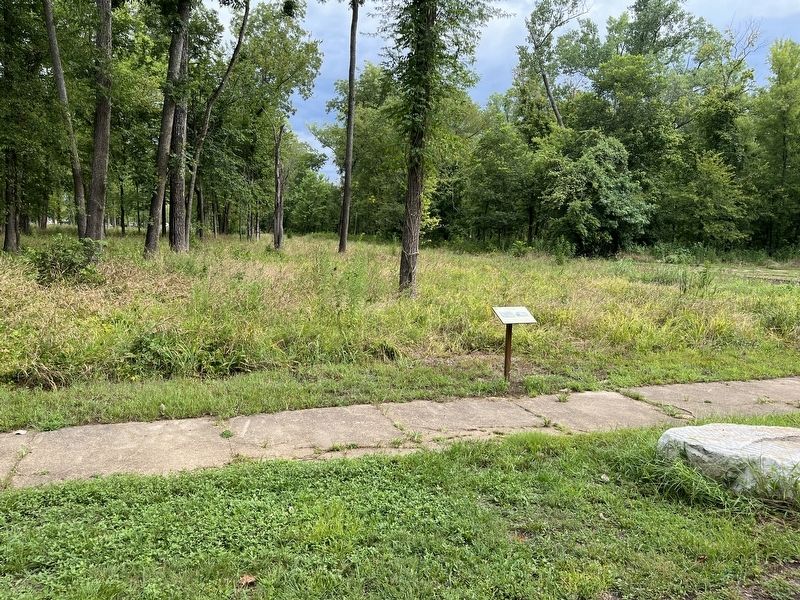
Location. 37° 6.051′ N, 90° 27.29′ W. Marker is in Greenville, Missouri, in Wayne County. It is in St. Francois Township. Marker can be reached from U.S. 67, on the right when traveling south. Located on the "Memory Lane" trail through Old Greenville, inside the Greenville Recreation Area, Wappapello Lake. Touch for map. Marker is in this post office area: Greenville MO 63944, United States of America. Touch for directions.
Other nearby markers. At least 8 other markers are within walking distance of this marker. Ownbey Residence (a few steps from this marker); The Filling Stations of Old Greenville (a few steps from this marker); J. Arthur Davis Dealership (a few steps from this marker); Barrow's Store (within shouting distance of this marker); Moving Greenville in 1941 (within shouting distance of this marker); Hastings' Barber Shop (within shouting distance of this marker); Marsh's Store (within shouting distance of this marker); Old Greenville's Accommodation (about 300 feet away, measured in a direct line). Touch for a list and map of all markers in Greenville.
Credits. This page was last revised on August 6, 2023. It was originally submitted on August 6, 2023, by Craig Swain of Leesburg, Virginia. This page has been viewed 48 times since then and 9 times this year. Photos: 1, 2, 3, 4. submitted on August 6, 2023, by Craig Swain of Leesburg, Virginia.


