Madelia in Watonwan County, Minnesota — The American Midwest (Upper Plains)
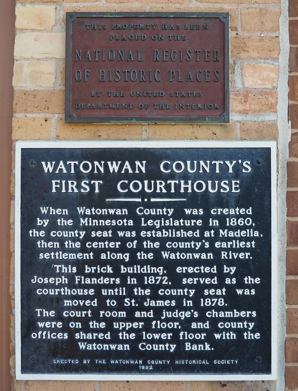
Watonwan County's First Courthouse
Inscription.
When Watonwan County was created by the Minnesota Legislature in 1860, the county seat was established at Madelia, then the center of the county's earliest settlement along the Watonwan River.
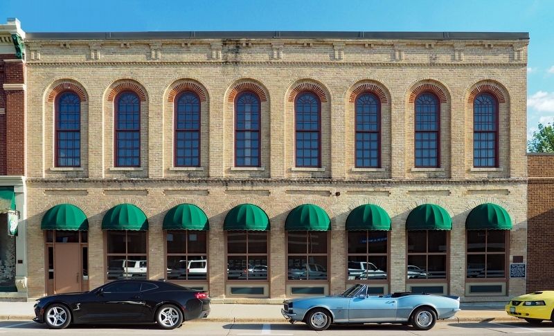
This brick building, erected by Joseph Flanders in 1872, served as the courthouse until the county seat was moved to St. James in 1878.
The court room and judge's chambers were on the upper floor, and the county offices shared the lower floor with the Watonwan County Bank.
Erected 1982 by the Watonwan County Historical Society.
Topics. This historical marker is listed in this topic list: Government & Politics. A significant historical year for this entry is 1872.
Location. 44° 3.043′ N, 94° 25.071′ W. Marker is in Madelia, Minnesota, in Watonwan County. Marker is on W. Main Street east of Abbot Avenue SW, on the right when traveling east. Marker is mounted on the lower right corner of the building. Touch for map. Marker is at or near this postal address: 30 W Main Street, Madelia MN 56062, United States of America. Touch for directions.
Other nearby markers. At least 8 other markers are within 8 miles of this marker, measured as the crow flies. To the Citizenry of Madelia – 1876 (about 400 feet away, measured in a direct line); Fort Cox (about 600 feet away); Truss Bridge #6527 (approx. 0.8 miles away); Ole Boxrud (approx. 5.4 miles away); Rosendale Church (approx. 6 miles away); Asle Sorbel's Ride (approx. 7.2 miles away); John Armstrong (approx. 7.2 miles away); Site of Capture of the Younger Brothers (approx. 7.6 miles away). Touch for a list and map of all markers in Madelia.
Also see . . . Flanders' Block on Wikipedia. (Submitted on August 6, 2023, by McGhiever of Minneapolis, Minnesota.)
Credits. This page was last revised on August 13, 2023. It was originally submitted on August 6, 2023, by McGhiever of Minneapolis, Minnesota. This page has been viewed 72 times since then and 19 times this year. Photos: 1, 2. submitted on August 6, 2023, by McGhiever of Minneapolis, Minnesota. • Andrew Ruppenstein was the editor who published this page.

