Joplin Township in Jasper County, Missouri — The American Midwest (Upper Plains)
Discovery of Lead
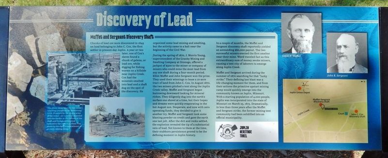
Chunks of lead ore were discovered in 1849 on land belonging to John C. Cox, the first settler in present-day Joplin. A year or two later, one of Cox's slaves found a chunk of galena, or lead ore, while digging for fishing worms on a hillside near Joplin Creek. Cox had the minerals smelted into lead and a shaft dug on the spot of the discovery. He organized some lead mining and smelting, but the activity came to a halt near the beginning of the Civil War.
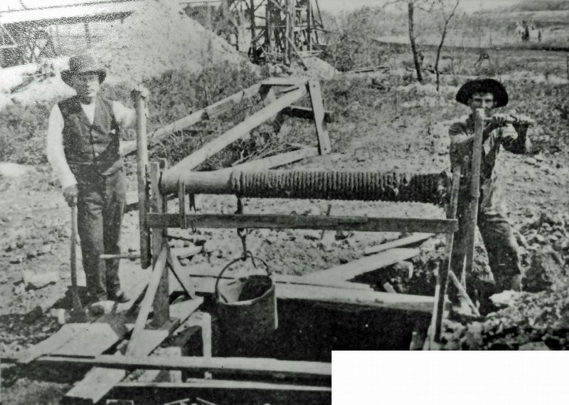
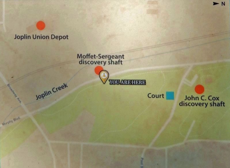
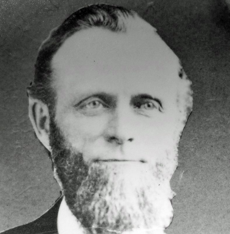
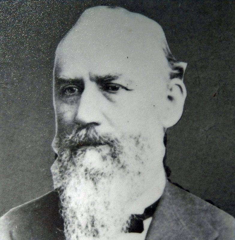
During the spring of 1870, J. Morris Young, superintendent of the Granby Mining and Smelting Company at Oronogo, offered a jackpot of $500 to the miner or company of miners who could mine the most lead from any one shaft during a four-month period. Elliot Moffet and John Sergeant won the prize. They used their winnings to lease a 10-acre tract of land from John C. Cox. In August 1870, the two miners pitched a tent along the Joplin Creek valley. Moffet and Sergeant began burrowing downward looking for mineral riches. They diligently dug into the earth's surface one shovel at a time, but their hopes and dreams were quickly evaporating in the hot August sun. Desperate, and now with zero operating funds, they decided to give it another try. Moffet and Sergeant took some blasting powder on credit and gave the earth one last jolt. After the dirt and rocks settled, the explosion revealed the tip of a substantial vein of lead. Not known to them at the time, their stubborn persistence proved to be the defining moment in Joplin history.
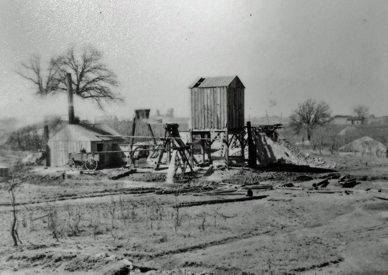
In a couple of months, the Moffet and Sergeant discovery shaft reportedly yielded an astounding $60,000 payout. The two successful miners erected the first smelter near their mine. Word traveled fast as this extraordinary sum of money awoke miners, causing a tent city of laborers to emerge along Joplin Creek.
Moffet and Sergeant arrived during the summer of 1870 searching for that "lucky strike." Their defining last blast was a life-changing moment for them, and from their actions the primitive upstart mining camp would quickly emerge into the community known as Joplin, Missouri. With a starting population of 4,000 people, Joplin was incorporated into the state of Missouri on March 23, 1873. Dramatically, in less than three years after the Moffet and Sergeant strike, the former mining tent community had been solidified into an official municipality.
Erected by Joplin Heritage Trail.
Topics. This historical marker is listed in these topic lists: Exploration • Industry & Commerce • Settlements & Settlers. A significant historical date for this entry is March 23, 1873.
Location. 37° 5.589′ N, 94° 30.612′ W. Marker is in Joplin
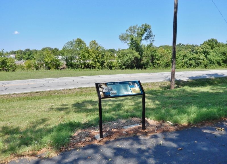
, Missouri, in Jasper County. It is in Joplin Township. Marker is on Northwest Murphy Boulevard, 0.1 miles north of East Broadway Street, on the right when traveling north. Marker is located along the recreational trail, near the south end of Landreth Park. Touch for map. Marker is in this post office area: Joplin MO 64801, United States of America. Touch for directions.
Other nearby markers. At least 8 other markers are within walking distance of this marker. Early Settlers (about 300 feet away, measured in a direct line); Osage Nation (about 600 feet away); Birds Eye View of Joplin 1877 (about 700 feet away); First Major Lead Strike (approx. 0.2 miles away); The Connor Hotel (approx. 0.4 miles away); Joplin (approx. 0.4 miles away); Quinby Building (approx. 0.4 miles away); Swartz & Malsbury Building (approx. half a mile away). Touch for a list and map of all markers in Joplin.
Related markers. Click here for a list of markers that are related to this marker. Joplin Heritage Trail
Also see . . .
1. Joplin, Missouri – A Lead Mining Maven. Excerpt:
By the turn of the century, Joplin was quickly becoming the center of the mining activity for the Tri-State Mining District, which consisted of Missouri, Kansas, and Oklahoma. By this time, the city boasted more than 26,000 people. Construction centered around Main Street, with many bars, hotels, and fine homes nearby. Trolley and rail lines made Joplin the hub of southwest Missouri, and as the center of the Tri-state district, it soon became the lead and zinc capital of the world. Lead, specifically zinc, created and would sustain Joplin’s economy for more than seven decades.(Submitted on August 9, 2023, by Cosmos Mariner of Cape Canaveral, Florida.)
2. Historic Joplin: Death in the Mines. Excerpt:
Lead and zinc mining was the heart and soul of early Joplin. Men toiled in the mines to earn their living or, in many cases, meet their end. There were a variety of ways that death came to those who worked in the mines, often sudden and very violent...(Submitted on August 9, 2023, by Cosmos Mariner of Cape Canaveral, Florida.)
Credits. This page was last revised on August 9, 2023. It was originally submitted on August 9, 2023, by Cosmos Mariner of Cape Canaveral, Florida. This page has been viewed 63 times since then and 14 times this year. Photos: 1, 2, 3, 4, 5, 6, 7. submitted on August 9, 2023, by Cosmos Mariner of Cape Canaveral, Florida.
