Joplin Township in Jasper County, Missouri — The American Midwest (Upper Plains)
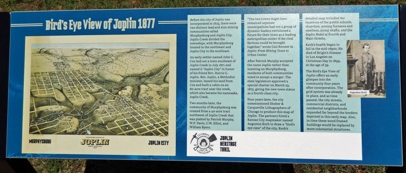
Birds Eye View of Joplin 1877
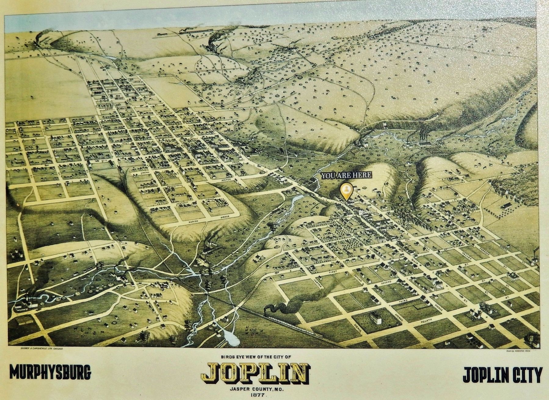
Before the city of Joplin was incorporated in 1873, there were two distinct lead and zinc mining communities called Murphysburg and Joplin City. Joplin Creek divided the townships, with Murphysburg located to the northwest and Joplin City to the southeast.
An early settler named John C. Cox laid out a town southeast of Joplin Creek in July 1871 and named it "Joplin City" in honor of his friend Rev. Harris G. Joplin. Rev. Joplin, a Methodist minister, leased his land from Cox and built a cabin on an 80-acre tract near the creek, which also became his namesake, Joplin Creek.
Two months later, the community of Murphysburg was created from a 40-acre tract northwest of Joplin Creek that was platted by Patrick Murphy, W.P. Davis, C.W. Elliot, and William Byers.
"The two towns might have remained separate municipalities had not a group of dynamic leaders envisioned a future for their town as a leading metropolitan center if the rival factions could be brought together," wrote Gail Renner in Joplin: From Mining Town to Urban Center.
After Patrick Murphy accepted the name Joplin rather than insisting on Murphysburg, residents of both communities voted to accept a merger. The state legislature approved a special charter on March 23, 1873, giving the new town status as a fourth-class city.
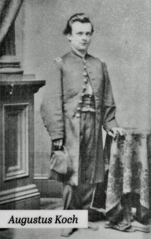
Four years later, the city commissioned Shober & Carqueville Lithographers of Chicago to produce this map of Joplin. The partners hired a Kansas City mapmaker named Augustus Koch to draw a “bird’s eye view” of the city. Koch’s detailed map included the locations of the public schools, churches, mining furnaces and smelters, pump shafts, and the Joplin Hotel at Fourth and Main Streets.
Koch's health began to fail in the mid-1890s. He died of Bright's Disease in Los Angeles on Christmas Day in 1899, at the age of 59.
The Bird's Eye View of Joplin offers an early glimpse into the community four years after incorporation. The grid system was already in place, and as time passed, the city streets, commercial districts, and residential neighborhoods expanded far beyond the borders depicted in this early map. Also, in time these wood framed buildings would be replaced by more substantial structures.
Erected by Joplin Heritage Trail.
Topics. This historical marker is listed in these topic lists: Architecture • Industry & Commerce • Settlements & Settlers. A significant historical year for this entry is 1877.
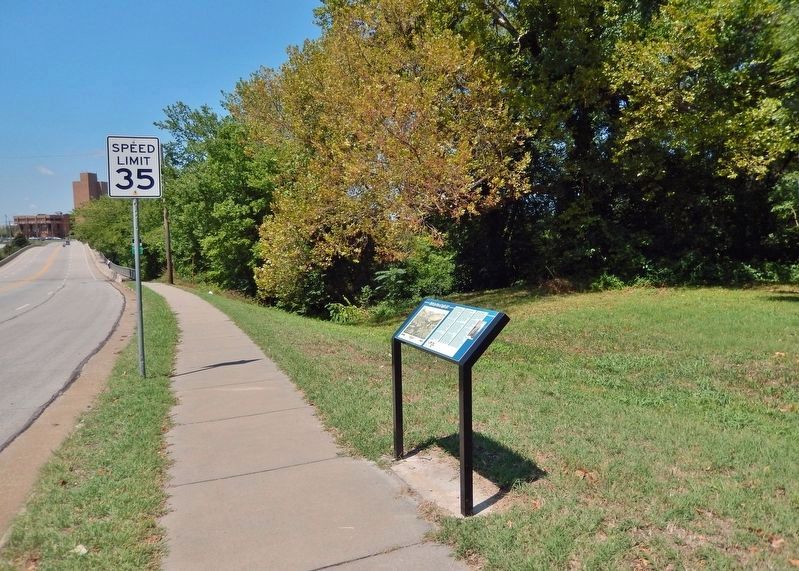
Location. 37° 5.508′ N, 94° 30.498′ W. Marker is in Joplin, Missouri, in Jasper County. It is in Joplin Township. Marker is at the intersection of East Broadway Street and North Landreth Avenue, on the left when traveling east on East Broadway Street. Marker is beside the sidewalk at the northwest corner of the intersection. Touch for map. Marker is in this post office area: Joplin MO 64801, United States of America. Touch for directions.
Other nearby markers. At least 8 other markers are within walking distance of this marker. Discovery of Lead (about 700 feet away, measured in a direct line); Early Settlers (approx. 0.2 miles away); Osage Nation (approx. ¼ mile away); First Major Lead Strike (approx. 0.3 miles away); The Connor Hotel (approx. 0.4 miles away); Joplin (approx. 0.4 miles away); Quinby Building (approx. 0.4 miles away); Swartz & Malsbury Building (approx. 0.4 miles away). Touch for a list and map of all markers in Joplin.
Related markers. Click here for a list of markers that are related to this marker. Joplin Heritage Trail
Credits. This page was last revised on August 9, 2023. It was originally submitted on August 9, 2023, by Cosmos Mariner of Cape Canaveral, Florida. This page has been viewed 186 times since then and 89 times this year. Photos: 1, 2, 3, 4. submitted on August 9, 2023, by Cosmos Mariner of Cape Canaveral, Florida.


