Madelia in Watonwan County, Minnesota — The American Midwest (Upper Plains)
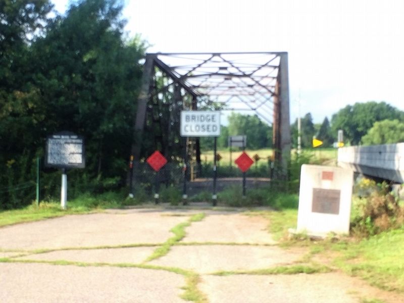
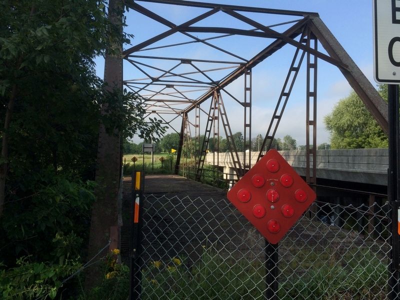
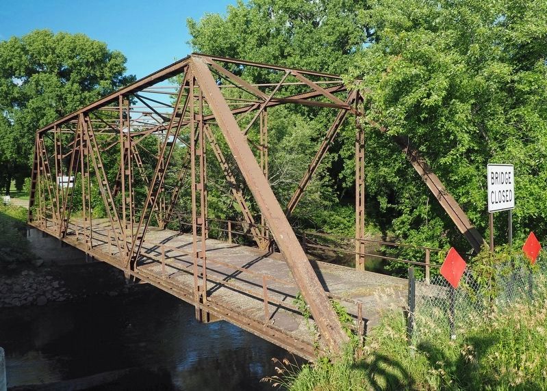
Truss Bridge #6527
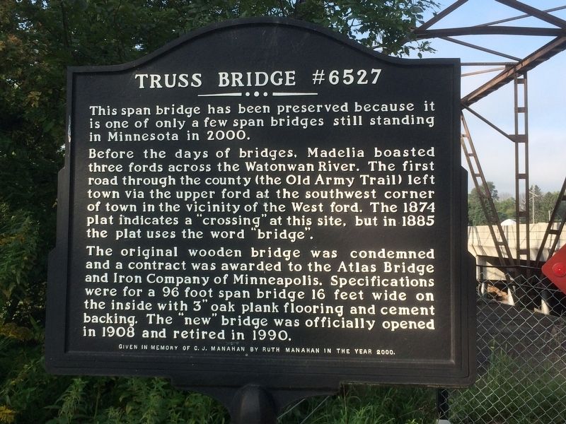
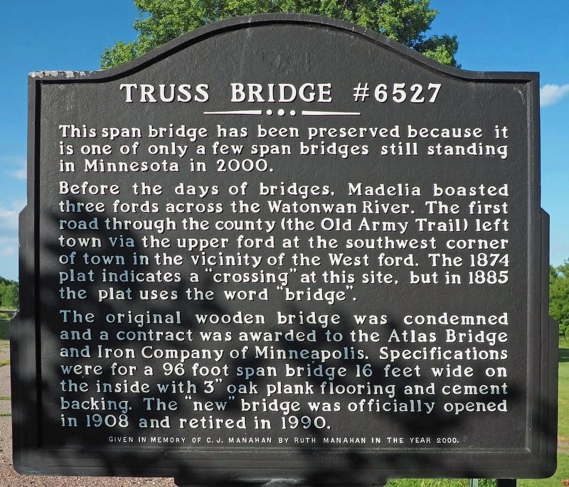
This span bridge has been preserved because it is one of only a few span bridges still standing in Minnesota in 2000.
Before the days of bridges, Madelia boasted three fords across the Watonwan River. The first road through the county (the Old Army Trail) left town via the upper ford at the southwest corner of town in the vicinity of the West ford. The 1874 plat indicates a "crossing" at this site, but in 1885 the plat uses the word "bridge".
The original wooden bridge was condemned and a contract was awarded to the Atlas Bridge and Iron Company of Minneapolis. Specifications were for a 96 foot span bridge 16 feet wide on the inside with 3" oak plank flooring and cement backing. The "new" bridge was officially opened in 1908 and retired in 1990.
Given in memory of C.J. Manahan by Ruth Manahan in the year 2000.
Erected 2000 by Ruth Manahan.
Topics. This historical marker is listed in this topic list: Bridges & Viaducts. A significant historical year for this entry is 1908.
Location. 44° 2.673′ N, 94° 25.895′ W. Marker is in Madelia, Minnesota, in Watonwan County. Marker is on Joy Ave. SW, ¼ mile south of 2nd St. SW, on the left when traveling south. Touch for map. Marker is in this post office area: Madelia MN 56062, United States of America. Touch for directions.
Other nearby markers. At least 8 other markers are within 8 miles of this marker, measured as the crow flies. To the Citizenry of Madelia – 1876 (approx. ¾ mile away); Watonwan County's First Courthouse (approx. 0.8 miles away); Fort Cox (approx. 0.9 miles away); Ole Boxrud (approx. 4.7 miles away); Rosendale Church (approx. 5.2 miles away); Site of Capture of the Younger Brothers (approx. 6.9 miles away); Asle Sorbel's Ride (approx. 7.4 miles away); John Armstrong (approx. 7.4 miles away). Touch for a list and map of all markers in Madelia.
Credits. This page was last revised on August 24, 2023. It was originally submitted on January 21, 2017, by Ruth VanSteenwyk of Aberdeen, South Dakota. This page has been viewed 588 times since then and 57 times this year. Last updated on August 13, 2023, by McGhiever of Minneapolis, Minnesota. Photos: 1. submitted on January 21, 2017, by Ruth VanSteenwyk of Aberdeen, South Dakota. 2. submitted on August 13, 2023, by McGhiever of Minneapolis, Minnesota. 3, 4. submitted on January 21, 2017, by Ruth VanSteenwyk of Aberdeen, South Dakota. 5. submitted on August 13, 2023, by McGhiever of Minneapolis, Minnesota. • Bill Pfingsten was the editor who published this page.
