Valatie in Columbia County, New York — The American Northeast (Mid-Atlantic)
Empire State Trail
at Valatie
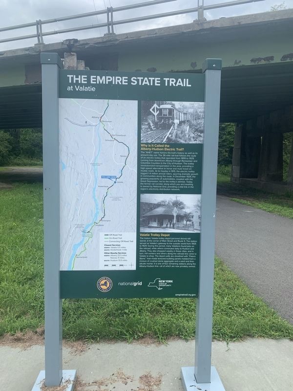
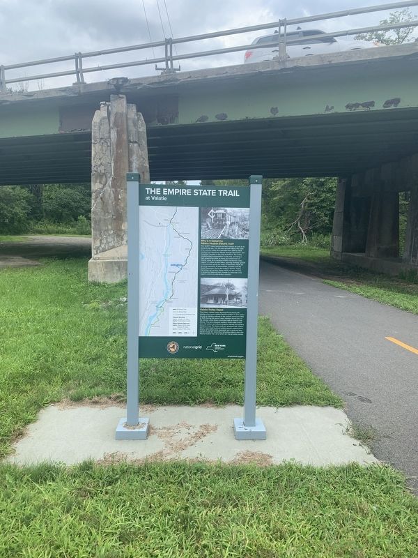
Why is It Called the Albany-Hudson Electric Trail?
The "AHET" name honors the trail's history as well as its present-day use. The 36-mile rail-trail follows the route of an electric trolley that operated from 1899 to 1929, running from downtown Albany through Rensselaer and Columbia Counties to the City of Hudson. The trolley revolutionized transportation in the area, providing a high-speed alternative to horse and mule travel on muddy roads. At its heyday in 1915, the electric trolley logged 1.4 million annual riders, spurring dramatic growth in communities along the route. In December 1929, the growing popularity of automobiles, coupled with the Great Depression, led to the trolley's demise. Today, the former rail corridor along which you are traveling is owned by National Grid, providing a vital link in the region's electricity distribution network
Valatie Trolley Depot
The historic Valatie trolley depot (pictured above) still stands at the comer of Main Street and Route 9. The station served as Valatie's gateway to the outside world from 1905 to 1929. During this period, many Valatians found jobs on the railroad, while others commuted daily to Hudson and Albany. They also shopped weekly in these cities, and in turn, mill workers and others along the railroad line came to Valatie to shop. The depot walls are sheathed with "Patent Stone," man-made textured building panels molded from a mixture of crushed stone aggregate and a sand and lime-silicate mortar. It is one of four remaining stations along the Albany-Hudson line - all of which are now privately owned.
( back )
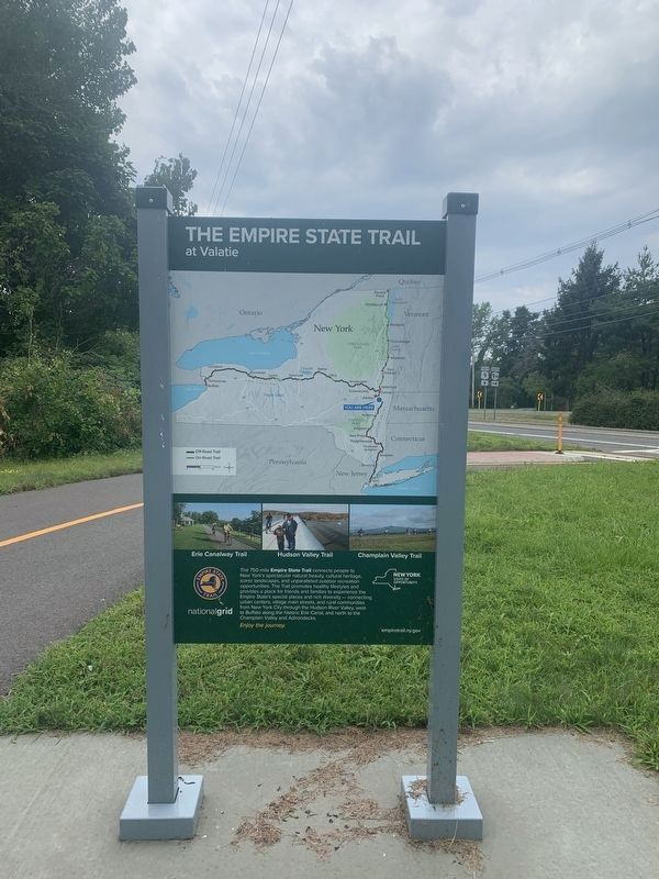
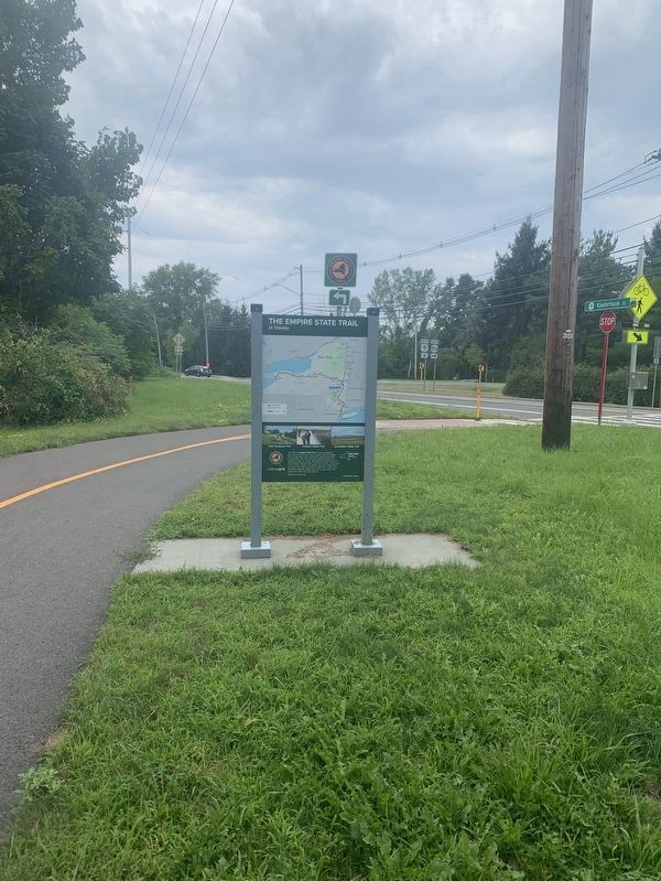
The 750-mi Empire State Trail connects people to New York's spectacular natural beauty, cultural heritage. iconic landscapes, and unparalleled outdoor recreation opportunities. The Trail promotes healthy lifestyles and provides a place for friends and families to experience the Empire State's special places and rich diversity - connecting urban centers, village main streets, and rural communities from New York City through the Hudson River Valley, west to Buffalo along the historic Erie Canal, and north to the Champlain Valley and Adirondacks
Enjoy the journey
empiretrail.ny.gov
Erected by Empire State Trail, National Grid.
Topics. This historical marker is listed in this topic list: Railroads & Streetcars. A significant historical year for this entry is 1905.
Location. 42° 24.43′ N, 73° 41.443′ W. Marker is in Valatie, New York, in Columbia County. Marker is at the intersection of Empire State Trail and New York State Route 9H, on the right when traveling north on Empire State Trail. Touch for map. Marker is in this post office area: Valatie NY 12184, United States of America. Touch for directions.
Other nearby markers. At least 8 other markers are within walking distance of this marker. Alexander Abbott (approx. 0.3 miles away); Hoes House (approx. half a mile away); Gimp Mill (approx. half a mile away); Wild's Mill (approx. 0.6 miles away); The Swallow House (approx. 0.6 miles away); Knox Gun Crossing (approx. 0.7 miles away); Gravesite (approx. 0.7 miles away); The Depot (approx. 0.7 miles away). Touch for a list and map of all markers in Valatie.
Also see . . . Empire State Trail. (Submitted on August 20, 2023, by Michael Herrick of Southbury, Connecticut.)
Credits. This page was last revised on August 20, 2023. It was originally submitted on August 15, 2023, by Steve Stoessel of Niskayuna, New York. This page has been viewed 48 times since then and 8 times this year. Photos: 1, 2, 3, 4. submitted on August 15, 2023, by Steve Stoessel of Niskayuna, New York. • Michael Herrick was the editor who published this page.


