Texas City in Galveston County, Texas — The American South (West South Central)
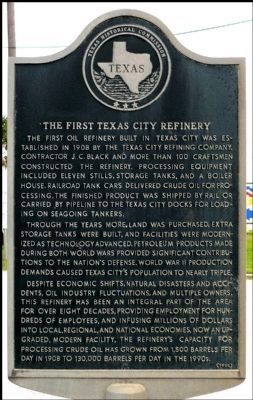
The First Texas City Refinery
Through the years more land was purchased, extra storage tanks were built, and facilities were modernized as technology advanced. Petroleum products made during both world wars provided significant contributions to the nation's defense. World War II production demands caused Texas City's population to nearly triple.
Despite economic shifts, natural disasters and accidents, oil industry fluctuations, and multiple owners, this refinery has been an integral part of the area for over eight decades, providing employment for hundreds of employees, and infusing millions of dollars into local, regional, and national economies. Now an upgraded, modern facility, the refinery's capacity for processing crude oil has grown from 1,500 barrels per day in 1908 to 130,000 barrels per day in the 1990s.
Erected 1996 by Texas Historical Commission. (Marker Number 15269.)
Topics. This historical marker is listed in this topic list: Industry & Commerce.
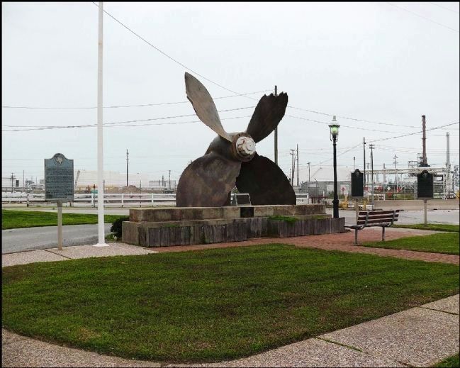
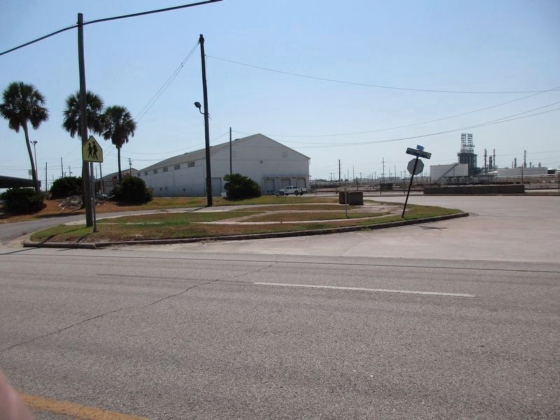
Location. Marker has been reported missing. It was located near 29° 22.534′ N, 94° 54.268′ W. Marker was in Texas City, Texas, in Galveston County. Marker was at the intersection of Texas City Port Boulevard (Loop State Highway 197) and Dock Road, on the right when traveling north on Texas City Port Boulevard. Located at the entrance to the Port of Texas City. Touch for map. Marker was at or near this postal address: 1301 Loop 197 S, Texas City TX 77590, United States of America. Touch for directions.
Other nearby markers. At least 8 other markers are within 2 miles of this location, measured as the crow flies. Texas Sugar Refining Company (approx. 0.8 miles away); Booker T. Washington School (approx. 0.9 miles away); Sociedad Mutualista Mexicana in Texas City (approx. 0.9 miles away); Davison Home (approx. one mile away); Texas City Dike (approx. 1.4 miles away); Anchor from Freighter Grand Camp (approx. 1.4 miles away); First Aero Squadron (approx. 1.4 miles away); Anchor Park (approx. 1.4 miles away). Touch for a list and map of all markers in Texas City.
Credits. This page was last revised on August 30, 2023. It was originally submitted on September 25, 2010, by Gregory Walker of La Grange, Texas. This page has been viewed 1,497 times since then and 111 times this year. Last updated on August 29, 2023, by Jeff Leichsenring of Garland, Texas. Photos: 1, 2. submitted on February 18, 2012, by Jim Evans of Houston, Texas. 3. submitted on August 29, 2023, by Jeff Leichsenring of Garland, Texas. • James Hulse was the editor who published this page.


