South Boston in Suffolk County, Massachusetts — The American Northeast (New England)
Sons of the Revolution
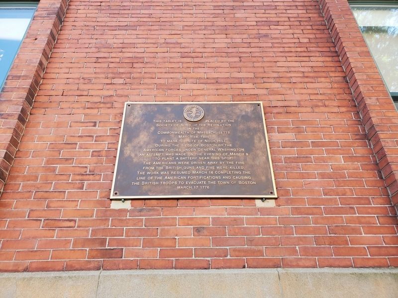
This tablet is placed by the Society of Sons of the Revolution in the Commonwealth of Massachusetts March 16, 1900 to mark the site of Nook Hill. During the Siege of Boston by the American Forces under General Washington an attempt was made on the evening of March 9 to plant a battery near this spot. The Americans were driven away by the fire from the British guns and five were killed. The work was resumed March 16 completing the line of the American fortifications and causing the British troops to evacuate the town of Boston March 17, 1776.
Erected 1900 by Sons of the Revolution.
Topics. This memorial is listed in these topic lists: Military • War, US Revolutionary. A significant historical date for this entry is March 9, 1776.
Location. 42° 20.479′ N, 71° 3.193′ W. Marker is in Boston, Massachusetts, in Suffolk County. It is in South Boston. Memorial is at the intersection of B Street and Athens Street, on the right when traveling north on B Street. Nook Hill has had multiple names in the past, including Nook's Hill, Newks Hill, Nuke's Hill, Foster's Hill and Foster Hill. Touch for map. Marker is at or near this postal address: 125 B Street, Boston MA 02127, United States of America. Touch for directions.
Other nearby markers. At least 8 other markers are within walking distance of this marker. Dorchester Heights • Thomas Park (approx. 0.7 miles away); Dorchester Heights (approx. 0.7 miles away); Josiah Quincy School (approx. 0.7 miles away); American Redoubts (approx. 0.7 miles away); a different marker also named Dorchester Heights (approx. 0.7 miles away); On these Heights (approx. 0.7 miles away); Gen. Henry Knox Trail (approx. 0.7 miles away); Abraham Shapiro (approx. 0.7 miles away). Touch for a list and map of all markers in Boston.
Also see . . .
1. Foster's Hill - Boston National Historical Park. (Submitted on September 5, 2023, by Michael Herrick of Southbury, Connecticut.)
2. Siege of Boston Map - Boston National Historical Park. (Submitted on September 5, 2023, by Michael Herrick of Southbury, Connecticut.)
Additional keywords. Nook's Hill, Newks Hill, Nuke's Hill, Foster's Hill, Siege of Boston, Dorchester Fortification
Credits. This page was last revised on September 10, 2023. It was originally submitted on September 1, 2023. This page has been viewed 69 times since then and 21 times this year. Photo 1. submitted on September 1, 2023. • Michael Herrick was the editor who published this page.
Editor’s want-list for this marker. A wide view photo of the marker and its surroundings. • Can you help?
