Maidenhead in Berkshire, England, United Kingdom — Northwestern Europe (the British Isles)
Maidenhead Town Centre
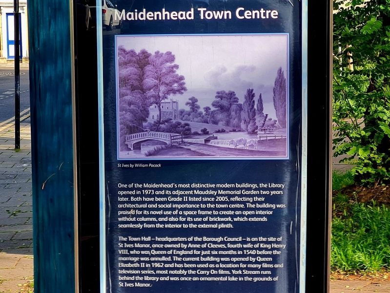
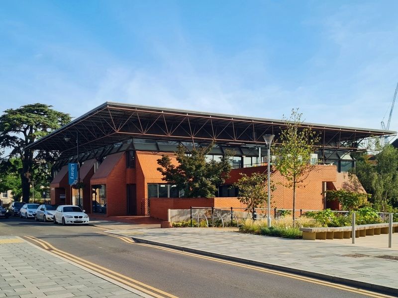
One of the Maidenhead's most distinctive modern buildings, the Library opened in 1973 and its adjacent Maudsley Memorial Garden two years later. Both have been Grade II listed since 2005, reflecting their architectural and social importance to the town centre. The building was praised for its novel use of a space frame to create an open interior without columns, and also for its use of brickwork, which extends seamlessly from the interior to the external plinth.
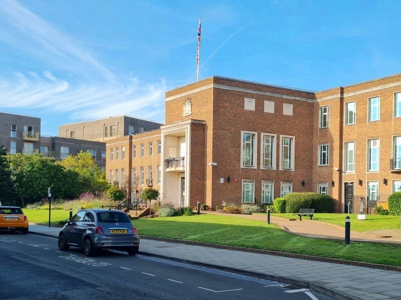
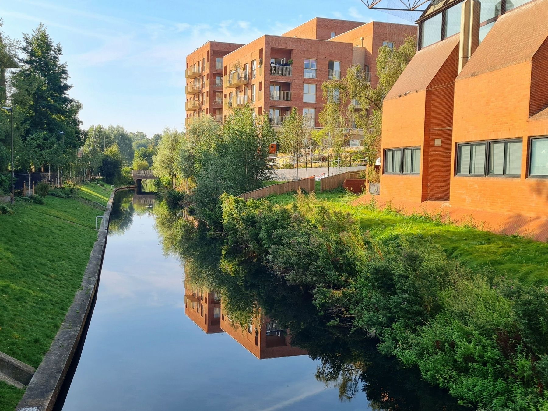
The Town Hall - headquarters of the Borough Council - is on the site of St Ives Manor, once owned by Anne of Cleeves, fourth wife of King Henry VIII, who was Queen of England for just six months in 1540 before the marriage was annulled. The current building was opened by Queen Elizabeth II in 1962 and has been used as a location for many films and television series, most notably the Carry On films. York Stream runs behind the library and was once an ornamental lake in the grounds of St Ives Manor.
Topics. This historical marker is listed in these topic lists: Architecture • Charity & Public Work • Entertainment.
Location. 51° 31.347′ N, 0° 43.082′ W. Marker is in Maidenhead, England, in Berkshire. Marker is on St Ives Road, on the right when traveling north . Marker is in front of the library. Touch for map. Marker is at or near this postal address: St Ives Road, Maidenhead, England SL6 1QS, United Kingdom. Touch for directions.
Other nearby markers. At least 8 other markers are within walking distance of this marker. Chapel Arches (about 90 meters away, measured in a direct line); Diana Dors (about 90 meters away); Royal Stag (about 120 meters away); Prize Pig (about 120 meters away); The Greyhound Inn (about 210 meters away); York Road Football Ground (approx. 0.2 kilometers away); Maidenhead Floods 1947 (approx. 1.1 kilometers away); Maidenhead Bridge (approx. 1.1 kilometers away). Touch for a list and map of all markers in Maidenhead.
Credits. This page was last revised on September 4, 2023. It was originally submitted on September 3, 2023, by Stephen Palmer of Ascot, England. This page has been viewed 64 times since then and 27 times this year. Photos: 1, 2, 3, 4, 5. submitted on September 3, 2023, by Stephen Palmer of Ascot, England. • Andrew Ruppenstein was the editor who published this page.


