Cooperstown in Griggs County, North Dakota — The American Midwest (Upper Plains)
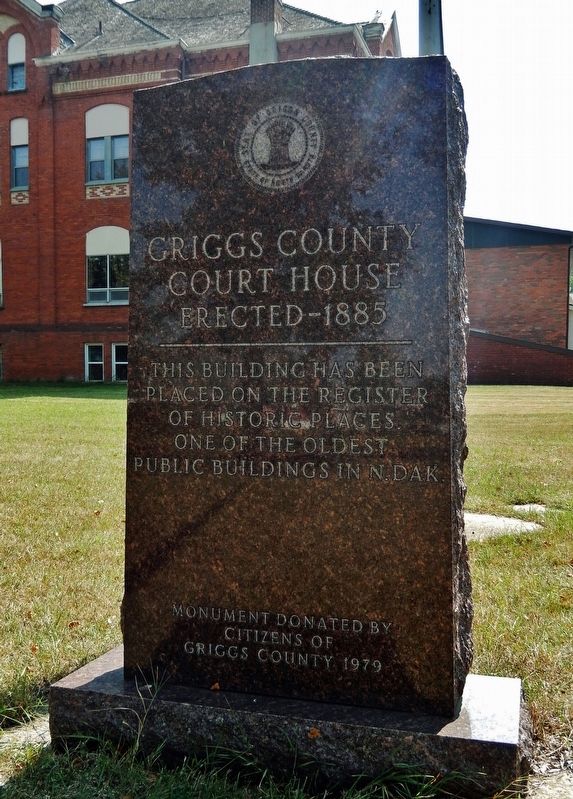
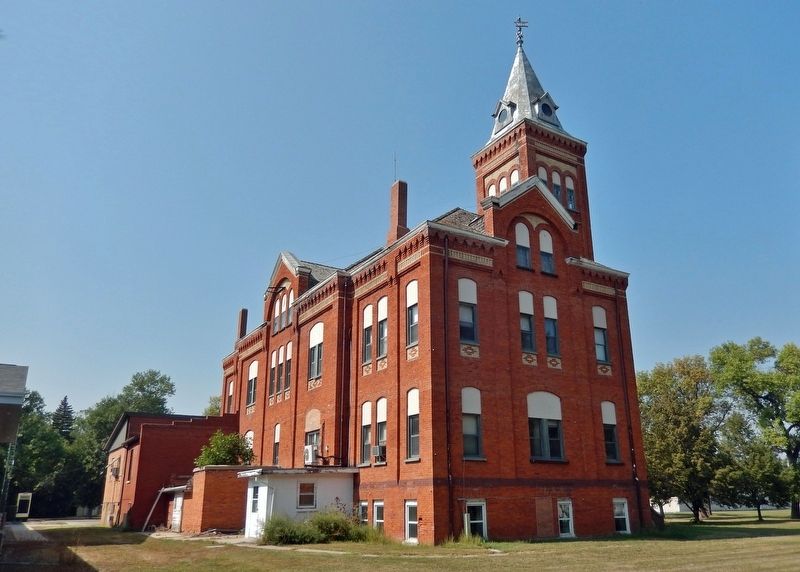
Griggs County Court House
Erected - 1885
placed on the Register
of Historic Places.
One of the oldest
public buildings in N. Dak.
Erected 1979 by Citizens of Griggs County.
Topics and series. This historical marker is listed in these topic lists: Architecture • Notable Buildings. In addition, it is included in the National Register of Historic Places series list. A significant historical year for this entry is 1885.
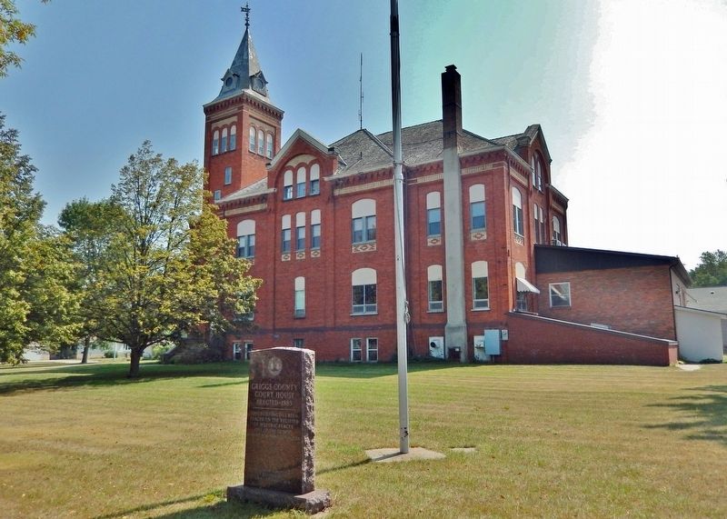
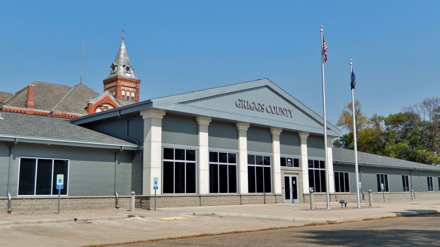
Location. 47° 26.536′ N, 98° 7.492′ W. Marker is in Cooperstown, North Dakota, in Griggs County. Marker is on Rollin Avenue Southwest just west of 9th Street Southeast (State Highway 45), on the left when traveling west. The marker is located near the northwest corner of the Historic Griggs County Courthouse. Touch for map. Marker is at or near this postal address: 808 Rollin Avenue Southwest, Cooperstown ND 58425, United States of America. Touch for directions.
Other nearby markers. At least 8 other markers are within 3 miles of this marker, measured as the crow flies. Opheim Cabin (within shouting distance of this marker); Strategic Arms Reduction Treaty (START) (approx. 2.7 miles away); The Minuteman: America's "Ace in the Hole" (approx. 2.7 miles away); November-33: "Ace in the Hole" (approx. 2.8 miles away); Missile Transport (approx. 2.8 miles away); Launcher Closure Door (approx. 2.8 miles away); Launch Facility Security (approx. 2.8 miles away); Missile Maintenance (approx. 2.8 miles away). Touch for a list and map of all markers in Cooperstown.
Regarding Griggs County Court House. National Register of Historic Places #77001025.
From the National Register Nomination:
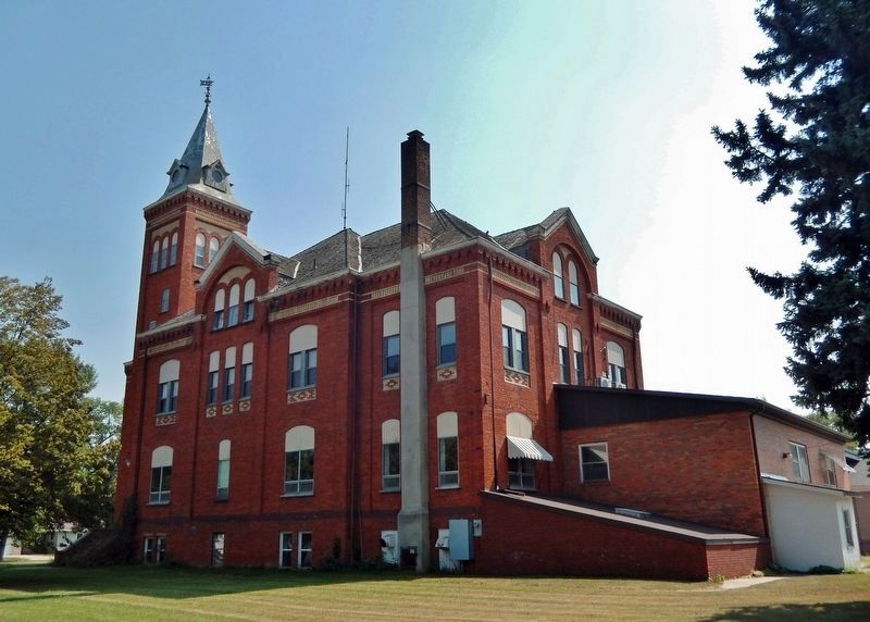
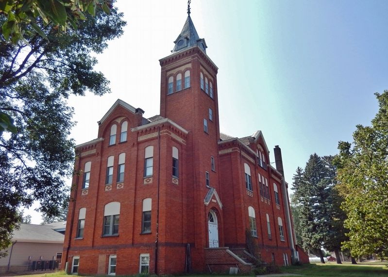
The Griggs County Courthouse is one of North Dakota's oldest public buildings, erected five years prior to the 1889 division of Dakota Territory into the states of North and South Dakota. In terms of design, the courthouse exhibits the eclecticism prevalent in American architecture during the late nineteenth century. Its polychrome fabric and pointed arch motifs are particularly noteworthy since both are features of the High Victorian Gothic mode which was rarely executed in North Dakota.
Also see . . .
1. Griggs County Courthouse (Wikipedia). Excerpt:
The Griggs County Courthouse in Cooperstown, North Dakota was built in 1884. It was listed on the National Register of Historic Places in 1977.(Submitted on September 5, 2023, by Cosmos Mariner of Cape Canaveral, Florida.)
2. About Griggs County. Excerpt:
Griggs County, North Dakota, was first settled in 1879. However, it did not become an organized county until 1881. At that time, it consisted of what is now Griggs County and the western part of Steele County. After an election, Cooperstown became the county seat. However, Hope wanted to have that honor so the records of the county were stolen at gunpoint from Cooperstown. The trial of the alleged raiders was halted when a compromise was reached establishing Griggs and Steele Counties as separate entities.(Submitted on September 5, 2023, by Cosmos Mariner of Cape Canaveral, Florida.)
Credits. This page was last revised on September 5, 2023. It was originally submitted on September 5, 2023, by Cosmos Mariner of Cape Canaveral, Florida. This page has been viewed 53 times since then and 7 times this year. Photos: 1, 2, 3, 4, 5, 6. submitted on September 5, 2023, by Cosmos Mariner of Cape Canaveral, Florida.
