Hillsborough in Orange County, North Carolina — The American South (South Atlantic)
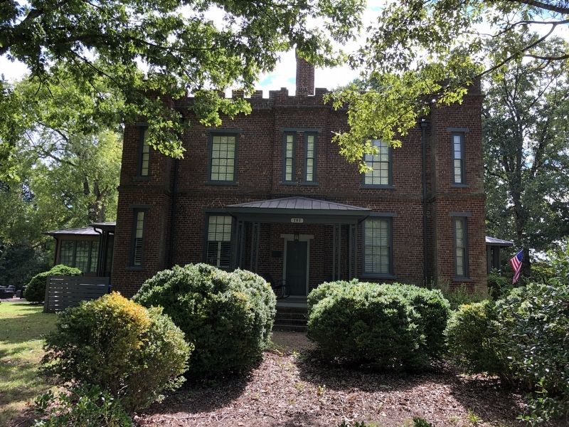
Commandant's House
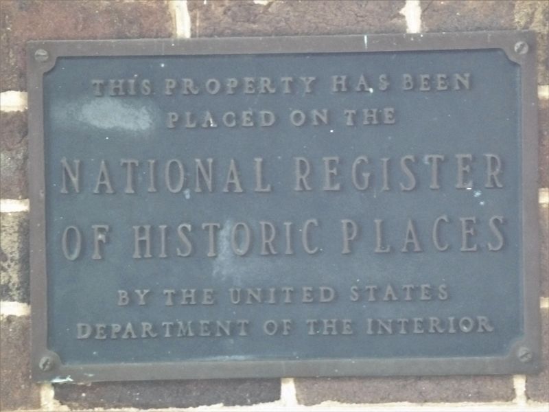
placed on the
National Register
of Historic Places
by the United States
Department of the Interior
Topics and series. This historical marker is listed in these topic lists: Architecture • Education • Military. In addition, it is included in the National Register of Historic Places series list. A significant historical year for this entry is 1860.
Location. 36° 4.324′ N, 79° 7.367′ W. Marker is in Hillsborough, North Carolina, in Orange County. Marker is at the intersection of Barracks Road and Ruby Lane, on the right when traveling north on Barracks Road. Touch for map. Marker is at or near this postal address: 205 Barracks Rd, Hillsborough NC 27278, United States of America. Touch for directions.
Other nearby markers. At least 8 other markers are within 2 miles of this marker, measured as the crow flies. Gold Park (approx. ¾ mile away); Masonic Hall (approx. 1.2 miles away); Hillsborough Academy (approx. 1.2 miles away); Eagle Lodge No. 71, A.F. and A.M. (approx. 1.2 miles away); Nash-Hooper House (approx. 1.3 miles away); Town of Hillsborough (approx. 1.3 miles away); William Churton (approx. 1.3 miles away); Billy Strayhorn (approx. 1.3 miles away). Touch for a list and map of all markers in Hillsborough.
Regarding Commandant's House. Excerpts from the National Register nomination:
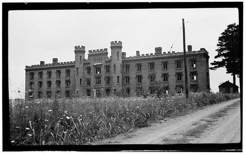
The Commandant's House (so called locally, although "the Superintendent's House" would be more accurate) is the only major structure remaining of the complex of buildings constructed for the Hillsborough Military Academy…
The new school opened in January, 1859, using the facilities of the old Hillsborough Academy, and by the following year, the new buildings were complete. The local newspaper reported in October, 1860, that the "Barracks have been erected at a cost of $30,000, they are well ventilated and commodious." The nearby dwelling was presumably constructed about the same time, and it served as home for [school founder Charles C.] Tew, his wife Elizabeth and their children.…
The house has considerable historical significance as the only major structure remaining of the Hillsborough Military Academy, which served as a training ground for soldiers during the Civil War, as a school of some merit during Reconstruction, as the headquarters of the politically influential Farmers' State Alliance, and – finally, in disrepair – as a refuge for victims of the Depression.
Also see . . .
1. Commandant's House (PDF). National Register nomination for the house, which was listed in 1972. (National Archives) (Submitted on September 8, 2023, by Duane and Tracy Marsteller of Murfreesboro, Tennessee.)
2. The Hillsborough Military Academy. RootsWeb website entry:
The Hillsborough Military Academy was the idea of Moses A. Curtis (at the time the minister of St. Matthew's Episcopal Church in Hillsborough, and whose son later became a cadet and was killed at the Battle of Bentonville during the Civil War), to ensure that suitable local boys could obtain a decent education. (Submitted on September 8, 2023, by Duane and Tracy Marsteller of Murfreesboro, Tennessee.)
Credits. This page was last revised on October 11, 2023. It was originally submitted on September 8, 2023, by Duane and Tracy Marsteller of Murfreesboro, Tennessee. This page has been viewed 99 times since then and 37 times this year. Photos: 1, 2, 3. submitted on September 8, 2023, by Duane and Tracy Marsteller of Murfreesboro, Tennessee.


