Frankfort in Clinton County, Indiana — The American Midwest (Great Lakes)
Frankfort City Hall
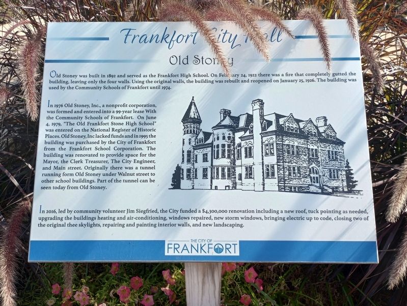
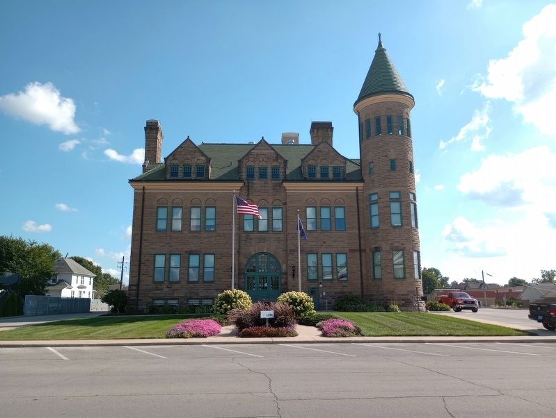
Old Stoney
— The City of Frankfurt —
Old Stoney was built in 1892 and served as the Frankfort High School. On February 24, 1922 there was a fire that completely gutted the building, leaving only the four walls. Using the original walls, the building was rebuilt and reopened on January 25, 1926. The building was used by the Community Schools of Frankfort until 1974.
In 1976 Old Stoney, Inc., a nonprofit corporation, was formed and entered into a 99-year lease With the Community Schools of Frankfort. On June 4, 1979, "The Old Frankfort Stone High School" was entered on the National Register of Historic Places. Old Stoney, Inc lacked funds and in 1995 the building was purchased by the City of Frankfort from the Frankfort School Corporation. The building was renovated to provide space for the Mayor, the Clerk Treasurer, The City Engineer, and Main street. Originally there was a tunnel running form Old Stoney under Walnut street to other school buildings. Part of the tunnel can be seen today from Old Stoney.
In 2016, led by community volunteer Jim Siegfried, the City funded a $4,300,000 renovation including a new roof, tuck pointing as needed, upgrading the buildings heating and air-conditioning, windows repaired, new storm windows, bringing electric up to code, closing two of the original thee skylights, repairing and painting interior walls, and new landscaping.
Erected by The City of Frankfurt.
Topics. This historical marker is listed in these topic lists: Architecture • Education. A significant historical date for this entry is January 25, 1926.
Location. 40° 16.833′ N, 86° 30.536′ W. Marker is in Frankfort, Indiana, in Clinton County. Marker is on East Clinton Street west of Sycamore Street, on the right when traveling east. Touch for map. Marker is at or near this postal address: 352 E Clinton St, Frankfort IN 46041, United States of America. Touch for directions.
Other nearby markers. At least 8 other markers are within 9 miles of this marker, measured as the crow flies. Revolutionary War Memorial (about 600 feet away, measured in a direct line); Clinton County Air Force Generals Memorial (about 600 feet away); Clinton County Veterans Memorial (about 700 feet away); To The Unknown Dead (about 700 feet away); Clinton County (Indiana) War Memorial (about 700 feet away); Memory of Our Departed Shipmates (approx. 0.2 miles away); Everett N. Case (approx. 1.3 miles away); Boone County REMC (approx. 8.6 miles away). Touch for a list and map of all markers in Frankfort.
Credits. This page was last revised on September 20, 2023. It was originally submitted on September 8, 2023, by Craig Doda of Napoleon, Ohio. This page has been viewed 96 times since then and 42 times this year. Photos: 1, 2. submitted on September 8, 2023, by Craig Doda of Napoleon, Ohio. • Devry Becker Jones was the editor who published this page.

