Wendell in Gooding County, Idaho — The American West (Mountains)
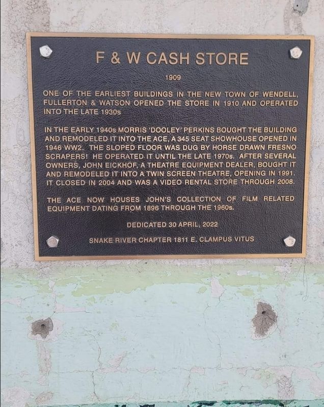
F & W Cash Store (1909)
In the early 1940s Morris 'Dooley' Perkins bought the building and remodeled it into The Ace, a 345 seat showhouse opened in 1946 WW2. The sloped floor was dug by horse drawn fresno scrapers! He operated it until the late 1970s. After several owners, John Eickhof, a theatre equipment dealer, bought it and remodeled it into a twin screen theatre, opening in 1991. It closed in 2004 and was a video rental store through 2008.
The Ace now houses John's collection of film related equipment dating from 1896 through the 1960s.
Dedicated 30 April, 2022
Erected by Snake River Chapter 1811 E Clampus Vitus.
Topics and series. This historical marker is listed in these topic lists: Arts, Letters, Music • Entertainment • Industry & Commerce • Settlements & Settlers. In addition, it is included in the E Clampus Vitus series list.
Location. 42° 46.489′ N, 114° 42.223′ W. Marker is in Wendell, Idaho, in Gooding County. Marker is on South Idaho Street, on the right when traveling north. Touch for map. Marker is at or near this postal address: 21 South Idaho Street, Wendell ID 83355, United States of America. Touch for directions.
Other nearby markers. At least 8 other markers are within 11 miles of this marker, measured as the crow flies. Salmon Falls (approx. 7.8 miles away); Thousand Springs (approx. 7.8 miles away); Fishing Falls (approx. 8.8 miles away); Payne's Ferry (approx. 8.8 miles away); Formation of Malad Gorge (approx. 10.1 miles away); The Malad Springs (approx. 10.1 miles away); Hagerman Sheep Monument (approx. 10.4 miles away); Woody's Cove / The Hagerman Valley (approx. 10.6 miles away).
Credits. This page was last revised on September 14, 2023. It was originally submitted on September 12, 2023, by Frank Gunshow Sanchez of Hollister, California. This page has been viewed 55 times since then and 4 times this year. Photo 1. submitted on September 12, 2023, by Frank Gunshow Sanchez of Hollister, California. • Andrew Ruppenstein was the editor who published this page.
Editor’s want-list for this marker. photo of marke on building • Can you help?
