Murphy in Owyhee County, Idaho — The American West (Mountains)
The Murphy School House District 14
Inscription.
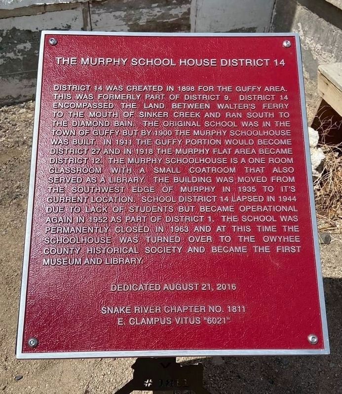
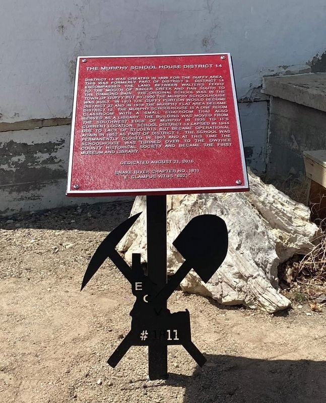
District 14 was created in 1898 for the Guffy area. This was formerly part of District 9. District 14 encompassed the land between Walter's Ferry to the mouth of Sinker Creek and ran south to
The Diamond Bain. The original school was in the town of Guffy but by 1900 the Murphy Schoolhouse was built. In 1911 the Guffy portion would become District 27 and in 1918 the Murphy Flat area became
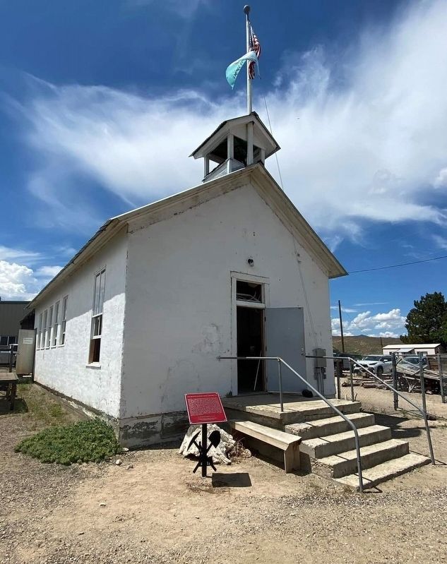
District 12. The Murphy schoolhouse is a one room classroom with a small coatroom that also served as a library. The building was moved from the Southwest edge of Murphy in 1935 to it's current location. School District 14 lapsed in 1944 due to lack of students but became operational again in 1952 as part of District 1. The school was permanently closed in 1963 and at this time the schoolhouse was turned over to the Owyhee
County Historical Society and became the first museum and library.
Dedicated August 21, 2016
Snake River Chapter No. 1811
E. Clampus Vitus "6021"
Erected by Snake River Chapter 1811 E Clampus Vitus.
Topics and series. This historical marker is listed in this topic list: Education. In addition, it is included in the E Clampus Vitus series list.
Location. 43° 12.955′ N, 116° 33.064′ W. Marker is in Murphy, Idaho, in Owyhee County. Marker is on Basey Street, on the left when traveling west. Touch for map. Marker is at or near this postal address: 17085 Basey Street, Murphy ID 83650, United States of America. Touch for directions.
Other nearby markers. At least 8 other markers are within 16 miles of this marker, measured as the crow flies. A different marker also named The Murphy School House District 14 (here, next to this marker); The Otter Massacre (about 400 feet away, measured in a direct line); War Eagle Mines (approx. 4˝ miles away); Diamond Gulch (approx. 4˝ miles away); Guffey Bridge Snake River Idaho (approx. 6 miles away); Steamer "Shoshone" (approx. 9 miles away); Tower Theater (approx. 11.1 miles away); Givens Springs (approx. 15.9 miles away). Touch for a list and map of all markers in Murphy.
Credits. This page was last revised on October 1, 2023. It was originally submitted on September 12, 2023, by Frank Gunshow Sanchez of Hollister, California. This page has been viewed 165 times since then and 10 times this year. Photos: 1, 2, 3. submitted on September 12, 2023, by Frank Gunshow Sanchez of Hollister, California. • Andrew Ruppenstein was the editor who published this page.


