Lester in Lyon County, Iowa — The American Midwest (Upper Plains)
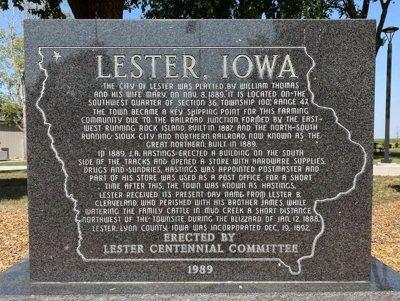
Lester, Iowa
In 1889, J.A. Hastings erected a building on the south side of the tracks and opened a store with hardware supplies, drugs and sundries, Hastings was appointed postmaster and part of his store was used as a post office. For a short time after this, the town was known as Hastings. Lester received its present day name from Lester B. Cleaveland, who perished with his brother James, while watering the family cattle in Mud Creek a short distance northwest of the townsite, during the blizzard of Jan. 12, 1888. Lester, Lyon County, Iowa was incorporated Dec. 19, 1892.
Erected 1989 by Lester Centennial Committee.
Topics. This historical marker is listed in these topic lists: Railroads & Streetcars • Settlements & Settlers. A significant historical date for this entry is November 8, 1889.
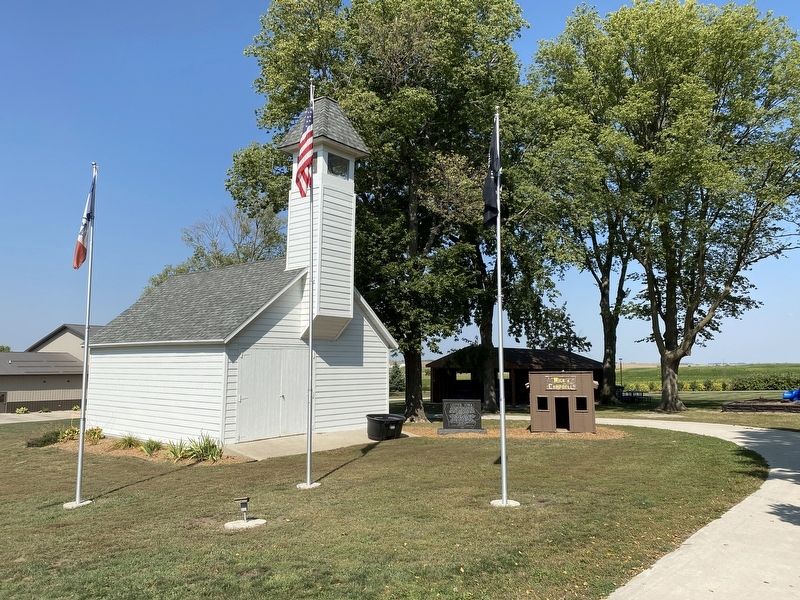
Location. 43° 26.393′ N, 96° 20.063′ W. Marker is in Lester, Iowa, in Lyon County. Marker is at the intersection of 5th Street and Clinton Street, on the right when traveling west on 5th Street. Located at the City Park in Lester. Touch for map. Marker is in this post office area: Lester IA 51242, United States of America. Touch for directions.
Other nearby markers. At least 8 other markers are within 14 miles of this marker, measured as the crow flies. Tri-State Marker (approx. 7.3 miles away in South Dakota); Ben Clare (approx. 8˝ miles away in South Dakota); First Reinforced Concrete Bridge (approx. 9.1 miles away); Inwood Veterans Memorial (approx. 10.3 miles away); Valley Springs (approx. 11.9 miles away in South Dakota); Doon Veterans Memorial (approx. 12.2 miles away); The Town of Valley Springs (approx. 12.4 miles away in South Dakota); Minnehaha County (approx. 13.4 miles away in South Dakota).
Credits. This page was last revised on September 15, 2023. It was originally submitted on September 15, 2023. This page has been viewed 73 times since then and 24 times this year. Photos: 1, 2. submitted on September 15, 2023.

