Monticello in Wayne County, Kentucky — The American South (East South Central)
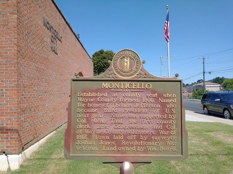
Monticello
Erected 1966 by Kentucky Historical Society and Kentucky Department of Highways. (Marker Number 989.)
Topics. This historical marker is listed in this topic list: Political Subdivisions. A significant historical year for this entry is 1800.
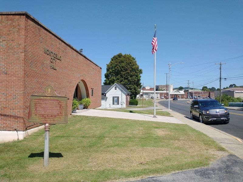
Location. 36° 49.69′ N, 84° 51.056′ W. Marker is in Monticello, Kentucky, in Wayne County. Marker is at the intersection of South Main Street (Kentucky Route 167) and College Street, on the right when traveling south on South Main Street. Touch for map. Marker is at or near this postal address: 120 South Main Street, Monticello KY 42633, United States of America. Touch for directions.
Other nearby markers. At least 8 other markers are within 9 miles of this marker, measured as the crow flies. Wayne County WWI Veterans Memorial (about 700 feet away, measured in a direct line); Elder W.A. "Uncle Billy" Cooper (approx. 0.2 miles away); County Named, 1800 (approx. 0.2 miles away); Wayne County Veterans Memorial (approx. 0.2 miles away); West-Metcalfe House (approx. 7.4 miles away); a different marker also named The West-Metcalfe House (approx. 7.4 miles away); Mill Springs and the Civil War (approx. 8.3 miles away); Mill Springs (approx. 8.3 miles away). Touch for a list and map of all markers in Monticello.
Credits. This page was last revised on September 21, 2023. It was originally submitted on September 20, 2023, by Tom Bosse of Jefferson City, Tennessee. This page has been viewed 55 times since then and 10 times this year. Photos: 1, 2. submitted on September 20, 2023, by Tom Bosse of Jefferson City, Tennessee. • James Hulse was the editor who published this page.

