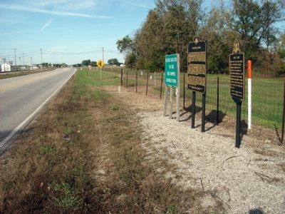
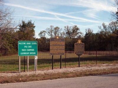
Near Palestine in Crawford County, Illinois — The American Midwest (Great Lakes)
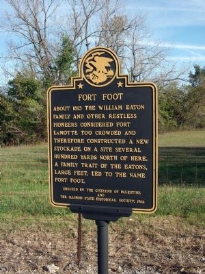
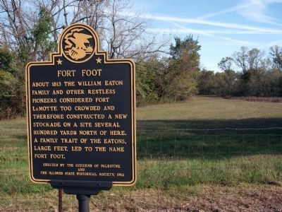
Fort Foot
Erected 1962 by Citizens of Palestine, Illinois State Historical Society.
Topics and series. This historical marker is listed in these topic lists: Forts and Castles • Settlements & Settlers. In addition, it is included in the Illinois State Historical Society series list. A significant historical year for this entry is 1813.
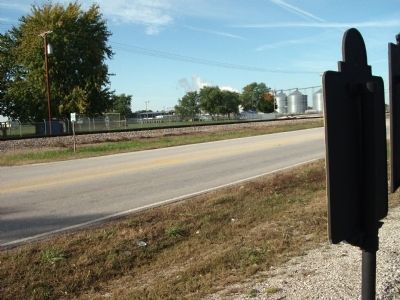
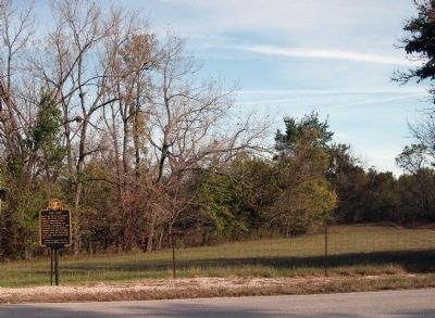
Location. 39° 0.437′ N, 87° 37.437′ W. Marker is near Palestine, Illinois, in Crawford County. Marker is at the intersection of Illinois Route 33 and North Highway Street, on the right when traveling west on State Route 33. A toss-up if this marker is "in" or "out" of the Town limits of Palestine -but- the Fort may have been. Touch for map. Marker is in this post office area: Palestine IL 62451, United States of America. Touch for directions.
Other nearby markers. At least 8 other markers are within walking distance of this marker. Palestine, Illinois (here, next to this marker); Gov. Augustus C. French (approx. 0.6 miles away); United States Land Office (approx. 0.7 miles away); The Fife Opera House (approx. 0.7 miles away); Auntie Gogin's Store (approx. 0.7 miles away); Houston - Dickson Store (approx. ¾ mile away); Dubois Tavern (approx. 0.8 miles away); Cullom Homestead (approx. 0.9 miles away). Touch for a list and map of all markers in Palestine.
Credits. This page was last revised on November 17, 2019. It was originally submitted on October 15, 2009, by Al Wolf of Veedersburg, Indiana. This page has been viewed 1,321 times since then and 54 times this year. Photos: 1, 2, 3, 4, 5, 6. submitted on October 15, 2009, by Al Wolf of Veedersburg, Indiana. • Bill Pfingsten was the editor who published this page.
