La Quinta in Riverside County, California — The American West (Pacific Coastal)
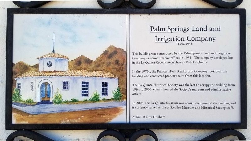
Palm Springs Land and Irrigation Company
Circa 1935
Inscription.
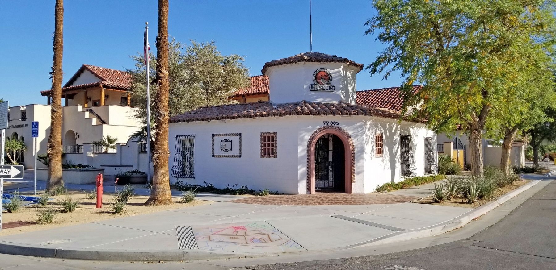
This building was constructed by the Palm Springs Land and Irrigation Company as administrative offices in 1935. The company developed lots in the La Quinta Cove, known then as Vale La Quinta.
In the 1970s, the Frances Hack Real Estate Company took over the building and conducted property sales from this location.
The La Quinta Historical Society was the last to occupy the building from 1994 to 2007 when it housed the Society’s museum and administrative offices.
In 2008, the La Quinta Museum was constructed around the building and it currently serves as the offices for Museum and Historical Society staff.
Erected by La Quinta Historical Society.
Topics. This historical marker is listed in this topic list: Notable Buildings. A significant historical year for this entry is 1935.
Location. 33° 40.529′ N, 116° 18.368′ W. Marker is in La Quinta, California, in Riverside County. Marker is at the intersection of Avenue Montezuma and Avenida Mendoza, on the right when traveling east on Avenue Montezuma. Touch for map. Marker is at or near this postal address: 77865 Avenida Montezuma, La Quinta CA 92253, United States of America. Touch for directions.
Other nearby markers. At least 8 other markers are within 6 miles of this marker, measured as the crow flies. The Bradshaw Trail / Point Happy (approx. 2.7 miles away); Carl G. Bray, Smoke Tree Painter (approx. 3 miles away); Eisenhower Mountain (approx. 3.7 miles away); Dwight David Eisenhower (approx. 3.7 miles away); Indian Wells (approx. 3.7 miles away); Eisenhower Walk of Honor (approx. 3.7 miles away); Veterans Remembrance Memorial (approx. 5.1 miles away); Jimmy Swaggart's "Date" (approx. 5.7 miles away).
Credits. This page was last revised on September 24, 2023. It was originally submitted on September 23, 2023, by Douglass Halvorsen of Klamath Falls, Oregon. This page has been viewed 68 times since then and 24 times this year. Photos: 1, 2. submitted on September 23, 2023, by Douglass Halvorsen of Klamath Falls, Oregon. • Andrew Ruppenstein was the editor who published this page.

