Near Barbourville in Knox County, Kentucky — The American South (East South Central)
Journey of Dr. Thomas Walker and Five Associates in 1750
Inscription.
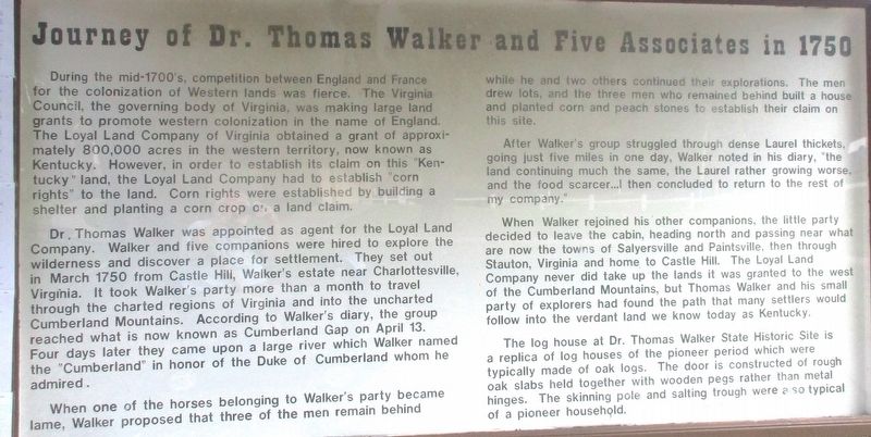
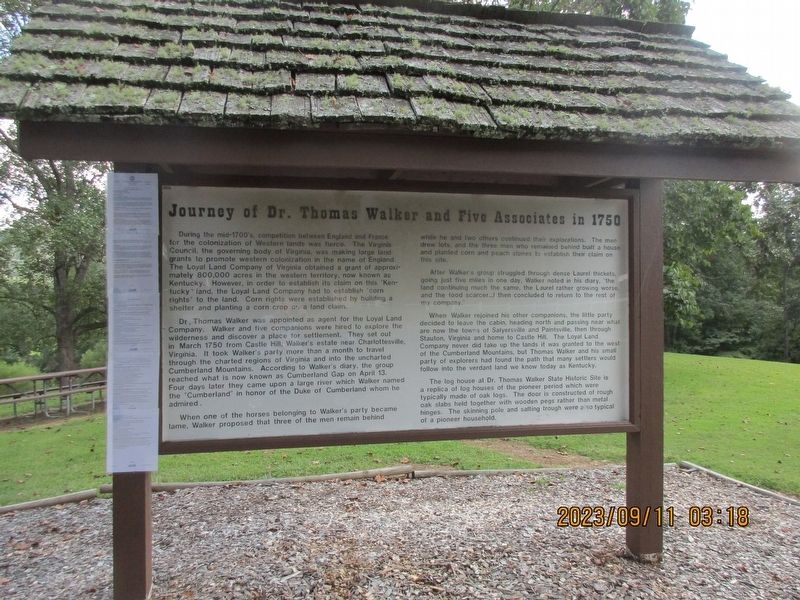
During the mid-1700s, competition between England and France for the colonization of Western lands was fierce. The Virginia Council, the governing body of Virginia, was making large land grants to promote western colonization in the name of England. The Loyal Land Company of Virginia obtained a grant of approximately 800,000 acres in the western territory, now known as Kentucky. However, in order to establish its claim on this “Kentucky” land, the Loyal Land Company had to establish “corn rights” to the land. Corn rights were established by building a shelter and planting a corn crop on a land claim.
Dr. Thomas Walker was appointed as agent for the Loyal Land Company. Walker and five companions were hired to explore the wilderness and discover a place for settlement. They set out in March 1750 from Castle Hill, Walker’s estate near Charlottesville, Virginia. It took Walker’s party more than a month to travel through the charted regions of Virginia and into the uncharted Cumberland Mountains. According to Walker’s diary, the group reached what is now known as Cumberland Gap on April 13. Four days later they came upon a large river which Walker named the “Cumberland” in honor of the Duke of Cumberland whom he admired.
When one of the horses belonging to Walker’s party became lame, Walker proposed that three of the men remain behind while he and two others continued their explorations. The men drew lots, and the three men who remained behind built and house and planted corn and peach stones to establish their claim on this site.
After Walker’s group struggled through dense Laurel thickets, going just five miles in one day. Walker noted in his diary, “the land continuing much the same, the Laurel rather growing worse and the food scarcer… I then concluded to return to the rest of my company.”
When Walker rejoined his other companions, the little party decided to leave the cabin, heading north and passing near what are now the towns of Salyersville and Paintsville, then through Staunton, Virginia and home to Castle Hill. The Loyal Land Company never did take up the lands it was granted to the west of the Cumberland Mountains, but Thomas Walker and his small party of explorers had found the path that many settlers would follow into the verdant land we know today as Kentucky.
The log house at Dr. Thomas Walker State Historical Site is a replica of the log houses of the pioneer period which were typically made of oak logs. The door is constructed of rough oak slabs held together with wooden pegs rather than metal hinges. The skinning pole and salting trough were typical of a pioneer household.
Topics. This historical marker is listed in these topic lists: Exploration
• Settlements & Settlers. A significant historical month for this entry is March 1750.
Location. 36° 50.354′ N, 83° 55.139′ W. Marker is near Barbourville, Kentucky, in Knox County. Marker can be reached from the intersection of Kentucky Route 459 and Route 2423. Marker is at the Dr. Thomas Walker State Historic Site. Touch for map. Marker is at or near this postal address: 4929 State Hwy 459, Barbourville KY 40906, United States of America. Touch for directions.
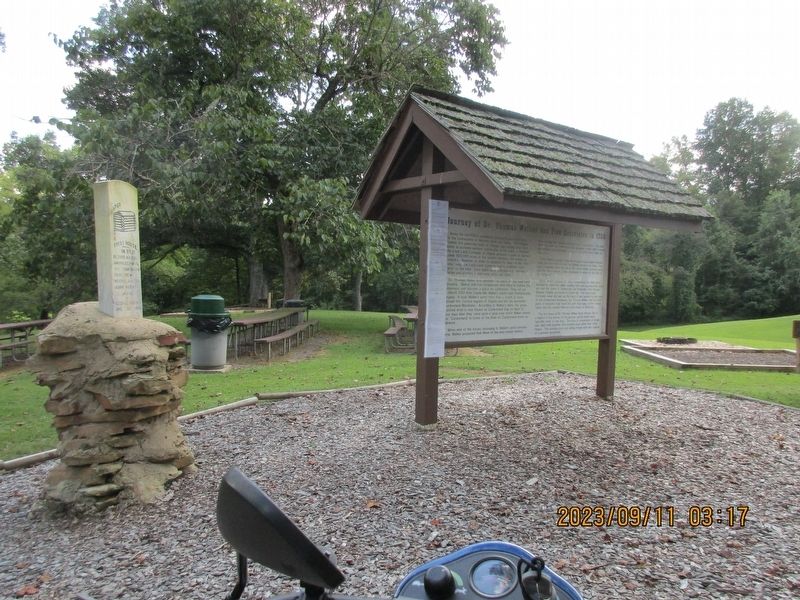
Other nearby markers. At least 8 other markers are within 3 miles of this marker, measured as the crow flies. First House in Ky. (here, next to this marker); Flem D. Sampson (1875-1967) (approx. 2½ miles away); Knox County Veterans Memorial (approx. 2½ miles away); Daniel Boone (approx. 2½ miles away); The Battle of Barbourville (approx. 2.6 miles away); a different marker also named The Battle of Barbourville (approx. 2.7 miles away); a different marker also named The Battle of Barbourville (approx. 2.7 miles away); Camp Andy Johnson (approx. 2.7 miles away). Touch for a list and map of all markers in Barbourville.
Credits. This page was last revised on September 28, 2023. It was originally submitted on September 24, 2023, by Rev. Ronald Irick of West Liberty, Ohio. This page has been viewed 79 times since then and 33 times this year. Photos: 1, 2, 3. submitted on September 24, 2023, by Rev. Ronald Irick of West Liberty, Ohio. • James Hulse was the editor who published this page.


