Binnenstad in Utrecht, Netherlands — Northwestern Europe
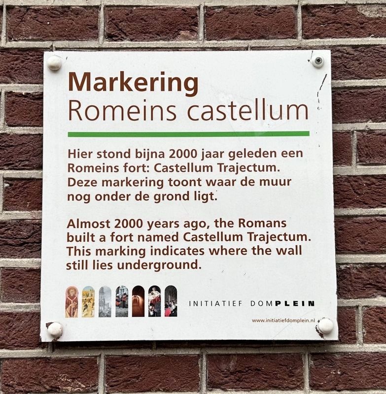
Castellum Trajectum
Markering Romeins Castellum
Erected by Initiatief Domplein.
Topics. This historical marker is listed in these topic lists: Forts and Castles • Settlements & Settlers.
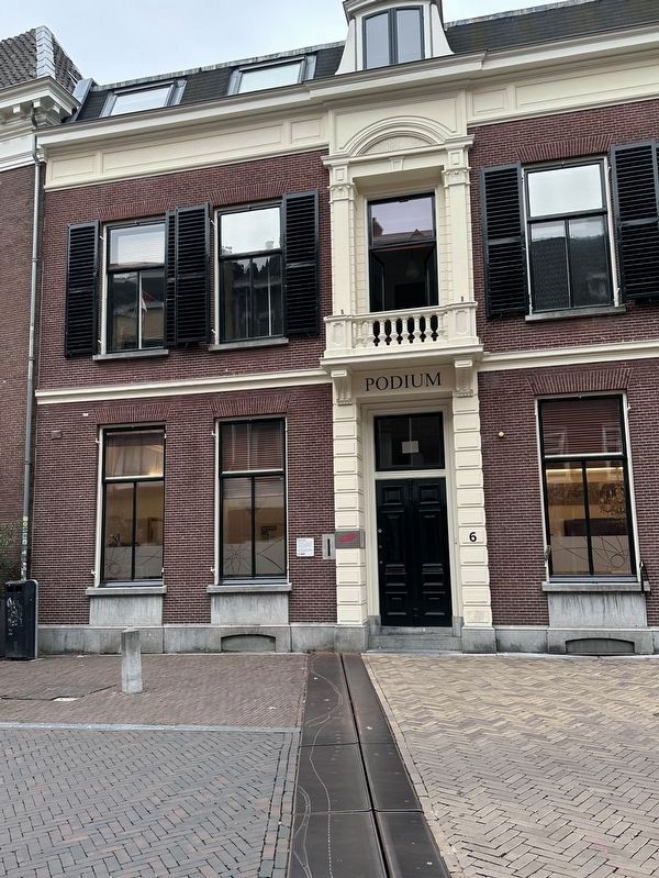
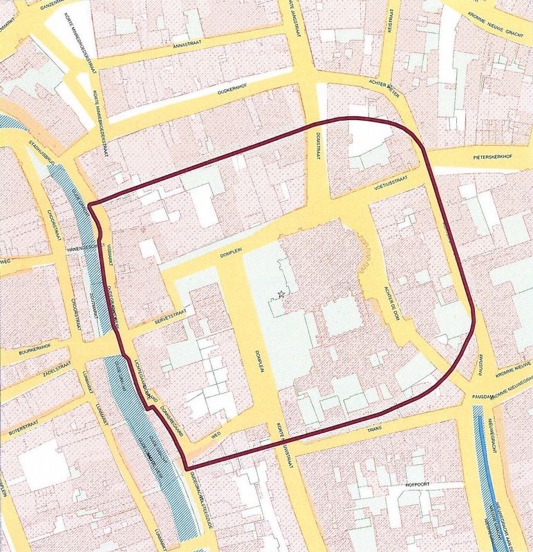
Location. 52° 5.487′ N, 5° 7.346′ E. Marker is in Utrecht. It is in Binnenstad. Marker is on Domstraat, on the left when traveling south. Touch for map. Marker is at or near this postal address: Domstraat 6, Utrecht 3512 JB, Netherlands. Touch for directions.
Other nearby markers. At least 8 other markers are within walking distance of this marker. Hendrik Marsman (a few steps from this marker); Anna Maria van Schurman (within shouting distance of this marker); Utrechtse Sodomieprocessen / Utrecht Sodomy Trials (within shouting distance of this marker); Verzetsmonument Utrecht / Utrecht Resistance Monument (about 90 meters away, measured in a direct line); In Het Voetspuur Van Sint Maarten / In the Footsteps of Saint Martin (about 90 meters away); Het Runensteen van Jelling Afgietsel / The Jelling Runestone Replica (about 90 meters away); Universiteit Utrecht / Utrecht University (about 120 meters away); Paleis Lofen (about 120 meters away). Touch for a list and map of all markers in Utrecht.
Also see . . .
1. Traiectum (Utrecht) (Wikipedia).
Overview: Traiectum was a Roman fort, on the frontier of the Roman Empire in Germania Inferior. The remains of the fort are in the center of Utrecht, Netherlands, which takes its name from the fort.(Submitted on September 29, 2023.)
History: In the Roman Empire Traiectum was one of the forts in the lower Limes Germanicus defensive lines. The Emperor Claudius defined the Rhine downstream from Bonn as the western part of the frontier. He ordered the legions further north to withdraw to this line, which was fortified in AD 47. The Rhine divides into several branches in the Netherlands. The army chose the branch on which modern Utrecht lies as the frontier.
2. Domplein (OKRA). Short article
by OKRA, the landscape architects responsible for the design and development of the metal plating that outline the former walls of the fort.
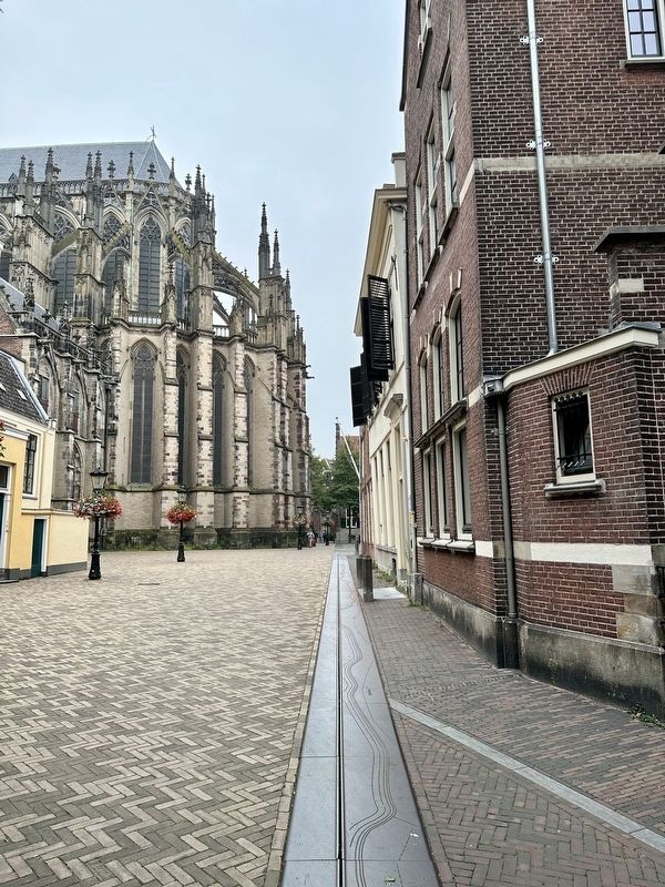
Excerpt: The design consists of a small intervention with great significance. The underground castellum wall is marked in the street plane by a single line of corten steel elements, directly above the original Roman wall. Coloured light and patches of mist emanate from the marking, and parts of the borders of the Roman Empire are engraved in the steel. The smoke intensifies into a fog curtain on special occasions and holidays, making the transition to Dom Square even more dramatic. In rain or foggy weather and after dark, the line is even more visible.(Submitted on September 29, 2023.)
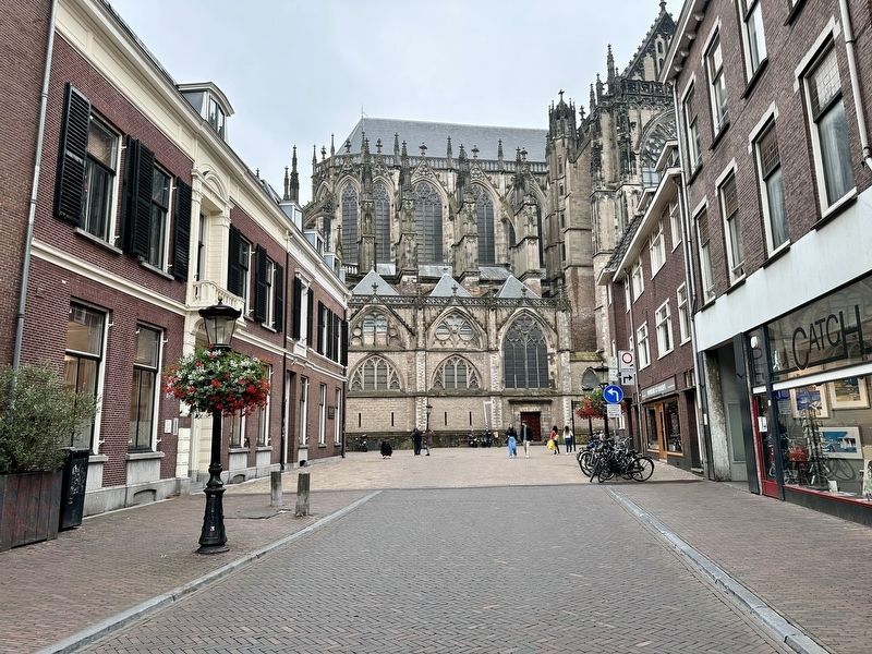
Photographed By Andrew Ruppenstein, September 17, 2023
3. Castellum Trajectum Marker - wider view
Here the metal plating outlining the wall also forms a rather dramatic boundary between the pavers on Domstraat and the lighter colored bricks of the plaza that surrounds the cathedral. Note also that there are actually two identical markers here - the one pictured, at Domstraat 6, and the one directly across the street from it, at Domstraat 15.
Credits. This page was last revised on December 30, 2023. It was originally submitted on September 29, 2023, by Andrew Ruppenstein of Lamorinda, California. This page has been viewed 58 times since then and 12 times this year. Photos: 1, 2, 3, 4, 5. submitted on September 29, 2023, by Andrew Ruppenstein of Lamorinda, California.
