Grant in Washington County, Minnesota — The American Midwest (Upper Plains)
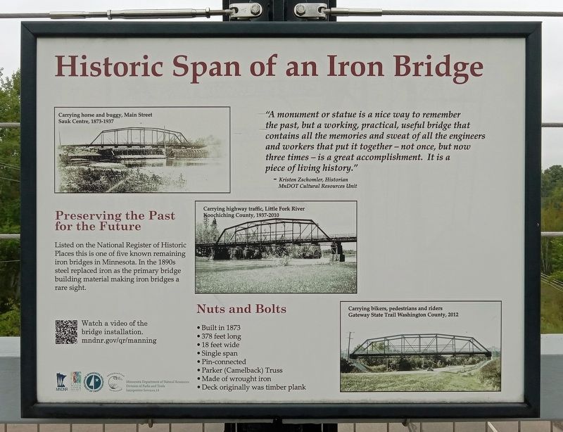
Historic Span of an Iron Bridge
Preserving the Past for the Future
Listed on the National Register of Historic Places this is one of five known remaining iron bridges in Minnesota. In the 1890s steel replaced iron as the primary bridge building material making iron bridges a rare sight.
Nuts and Bolts
Built in 1873
378 feet long
18 feet wide
Single span
Pin-connected
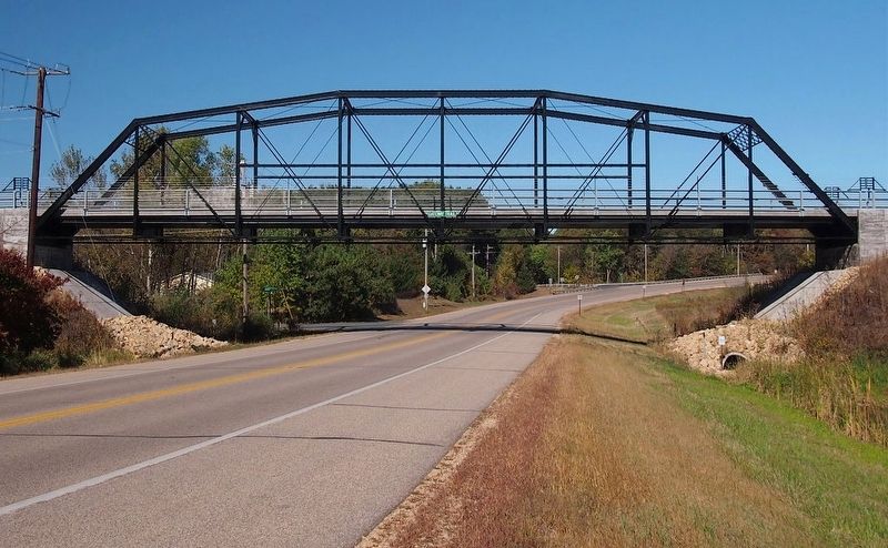
Parker (Camelback) Truss
Made of wrought iron
Deck originally was timber plank
"A monument or statue is a nice way to remember the past, but a working, practical, useful bridge that contains all the memories and sweat of all the engineers and workers that put it together – not once, but now three times – is a great accomplishment. It is a piece of living history."
– Kristen Zschomler, Historian
MnDOT Cultural Resources Unit
Carrying horse and buggy, Main Street
Sauk Centre, 1873-1937
Carrying highway traffic, Little Fork River
Koochiching County, 1937-2010
Carrying bikers, pedestrians and riders
Gateway State Trail Washington County, 2012
Erected by Minnesota Department of Natural Resources.
Topics. This historical marker is listed in this topic list: Bridges & Viaducts. A significant historical year for this entry is 1873.
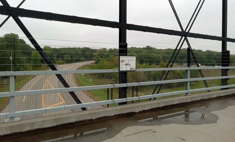
Location. 45° 6.27′ N, 92° 51.894′ W. Marker is in Grant, Minnesota, in Washington County. Marker is at the intersection of Manning Avenue (County Highway 15) and Manning Trail Court when traveling north on Manning Avenue. The marker is mounted at the midpoint of the bridge, which carries the Gateway State Trail over Manning Avenue. Touch for map. Marker is in this post office area: Stillwater MN 55082, United States of America. Touch for directions.
Other nearby markers. At least 8 other markers are within 4 miles of this marker, measured as the crow flies. Restoring Oak Woods and Prairies: Why Do It? (approx. 1.7 miles away); Pine Point County Park (approx. 1.7 miles away); From Rails to Trails (approx. 2.6 miles away); Building Railroads (approx. 2.6 miles away); Brown's Creek Revival (approx. 2.6 miles away); Bridging Brown's Creek (approx. 2.6 miles away); Tamarack House (approx. 3.7 miles away); Geology of Minnesota (approx. 3.9 miles away). Touch for a list and map of all markers in Grant.
Also see . . .
1. Video of the bridge installation from the Minnesota Department of Transportation. (Submitted on September 29, 2023, by McGhiever of Minneapolis, Minnesota.)
2. The Gateway Trail Iron Bridge on Wikipedia. (Submitted on September 29, 2023, by McGhiever of Minneapolis, Minnesota.)
Credits. This page was last revised on October 2, 2023. It was originally submitted on September 29, 2023, by McGhiever of Minneapolis, Minnesota. This page has been viewed 63 times since then and 16 times this year. Photos: 1, 2, 3. submitted on September 29, 2023, by McGhiever of Minneapolis, Minnesota. • J. Makali Bruton was the editor who published this page.


