Binnenstad in Utrecht, Netherlands — Northwestern Europe
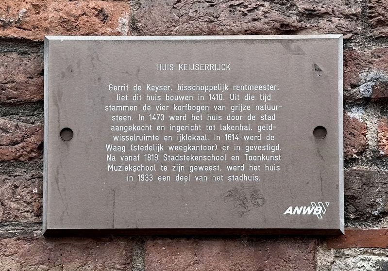
Het Keijserrijk
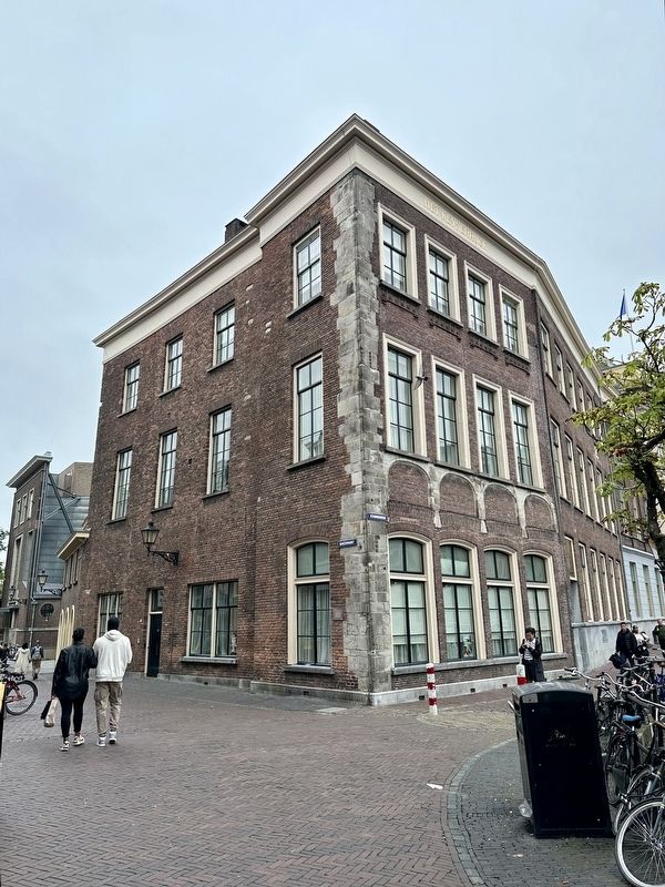
Gerrit de Keyser, episcopal steward, had this house built in 1410. The four basket arches made of gray natural stone date from that time. In 1473 the house was purchased by the city and converted into a cloth hall, money exchange, and calibration room. In 1614 the “Waag” (municipal weighing office) was established there. After being the City Drawing School and Music School from 1819, the building became part of the city hall in 1933.
Erected by The ANWB, VVV.
Topics. This historical marker is listed in these topic lists: Education • Industry & Commerce. A significant historical year for this entry is 1410.
Location. 52° 5.516′ N, 5° 7.14′ E. Marker is in Utrecht. It is in Binnenstad. Marker is at the intersection of Ganzenmarkt and Stadhuisbrug on Ganzenmarkt. Touch for map. Marker is at or near this postal address: Ganzenmarkt 1, Utrecht 3511 AZ, Netherlands. Touch for directions.
Other nearby markers. At least 8 other markers are within walking distance of this marker. Pieter Quint Ondaatje (a few steps from this marker); Vrede van Utrecht / Treaty of Utrecht (within shouting distance of this marker); Het Vakwerkhuis / The Half-Timbered House (about 150 meters away, measured in a direct line); Fresenburg (about 180 meters away); Paleis Lofen (about 180 meters away); Sint Willibrordkerk / Saint Willibrord Church (about 180 meters away); Maartensbrug en Oude Gracht / "St. Martin's Bridge" on the Old Canal (about 180 meters away); a different marker also named Paleis Lofen (about 180 meters away). Touch for a list and map of all markers in Utrecht.
Credits. This page was last revised on December 31, 2023. It was originally submitted on October 5, 2023, by Andrew Ruppenstein of Lamorinda, California. This page has been viewed 39 times since then and 6 times this year. Photos: 1, 2. submitted on October 5, 2023, by Andrew Ruppenstein of Lamorinda, California.

