Marker Logo HMdb.org THE HISTORICAL
MARKER DATABASE
“Bite-Size Bits of Local, National, and Global History”
Honey Grove in Fannin County, Texas — The American South (West South Central)
 

Site of Bralley-Pendleton School


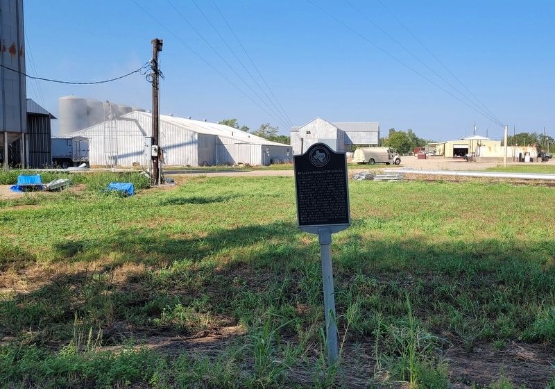
Site of Bralley-Pendleton School Marker image. Click for full size.
Photographed By James Hulse, September 28, 2023
1. Site of Bralley-Pendleton School Marker
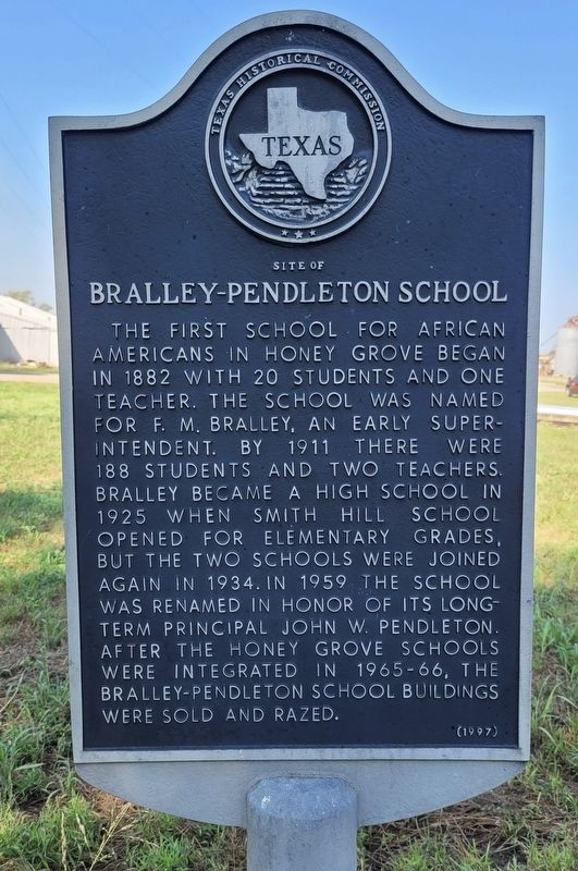
Inscription. The first school for African Americans in Honey Grove began in 1882 with 20 students and one teacher. The school was named for F.M. Bralley, an early superintendent. By 1911 there were 188 students and two teachers. Bralley became a high school in 1925 when Smith Hill School opened for elementary grades, but the two schools were joined again in 1934. In 1959 the school was renamed in honor of its long-term principal John W. Pendleton. After the Honey Grove schools were integrated in 1965-66, the Bralley-Pendleton school buildings were sold and razed.
 
Erected 1997 by Texas Historical Commission. (Marker Number 8849.)
 
Topics. This historical marker is listed in these topic lists: African AmericansEducation. A significant historical year for this entry is 1882.
 
Location. 33° 34.753′ N, 95° 54.479′ W. Marker is in Honey Grove, Texas, in Fannin County. Marker is at the intersection of 8th Street and Pacific Street West, on the right when traveling south on 8th Street. The marker is located along the street. Touch for map. Marker is at or near this postal address: 87 8th Street, Honey Grove TX 75446, United States of America. Touch for directions.
 
Other nearby markers. At least 8 other markers are within walking distance of this marker. Church of St. Mark, the Evangelist, Episcopal (approx. 0.2 miles away); Honey Grove Lodge No. 164, A.F. & A.M. (approx. 0.3 miles away);
Paid Advertisement
Click on the ad for more information.
Please report objectionable advertising to the Editor.
Click or scan to see
this page online
First Baptist Church of Honey Grove (approx. 0.3 miles away); Honey Grove City Hall (approx. 0.3 miles away); McKenzie Methodist Church (approx. 0.4 miles away); Dial Home (approx. half a mile away); Crockett Park (approx. half a mile away); James Thomas Holt (approx. ¾ mile away). Touch for a list and map of all markers in Honey Grove.
 
Also see . . .  Honey Grove, TX. Texas State Historical Association (TSHA) (Submitted on October 11, 2023, by James Hulse of Medina, Texas.) 
 
Site of Bralley-Pendleton School Marker image. Click for full size.
Photographed By James Hulse, September 28, 2023
2. Site of Bralley-Pendleton School Marker
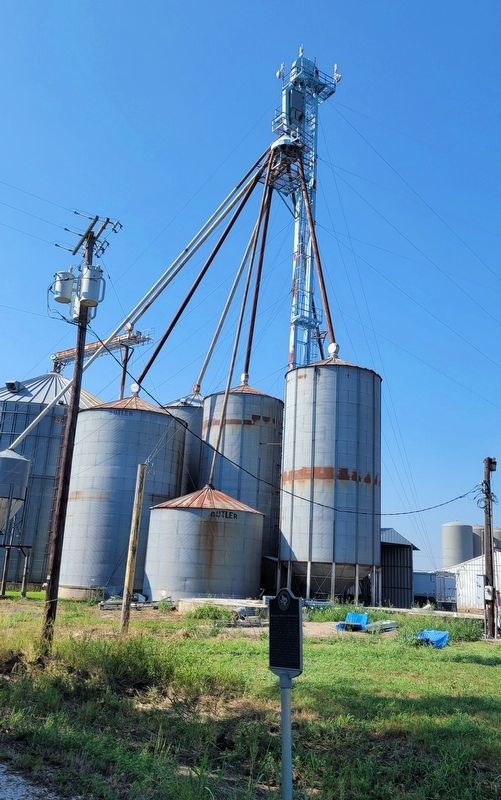
The view of the Site of Bralley-Pendleton School Marker next to the grain silos image. Click for full size.
Photographed By James Hulse, September 28, 2023
3. The view of the Site of Bralley-Pendleton School Marker next to the grain silos
 
 
Credits. This page was last revised on October 11, 2023. It was originally submitted on October 9, 2023, by James Hulse of Medina, Texas. This page has been viewed 55 times since then and 8 times this year. Photos:   1, 2, 3. submitted on October 9, 2023, by James Hulse of Medina, Texas.
Share this page.  
Share on Tumblr
m=234225

CeraNet Cloud Computing sponsors the Historical Marker Database.
This website earns income from purchases you make after using our links to Amazon.com. We appreciate your support.
Paid Advertisement
Apr. 27, 2024