Concord-Robert in Saint Paul in Ramsey County, Minnesota — The American Midwest (Upper Plains)
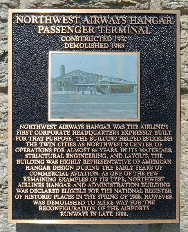
Northwest Airways Hangar Passenger Terminal
Constructed 1930 · Demolished 1988
Northwest Airways Hangar was the airline's first corporate headquarters expressly built for that purpose. The building helped establish the Twin Cities as Northwest's center of operations for almost 85 years. In its materials, structural engineering, and layout, the building was highly representative of American hangar design during the early years of commercial aviation. As one of the few remaining examples of its type, Northwest Airlines Hangar and Administration Building was declared eligible for the National Register of Historic Places in the spring of 1988, however was demolished to make way for the reconfiguration of the airports [sic] runways in late 1988.
Topics. This historical marker is listed in these topic lists: Air & Space • Architecture. A significant historical year for this entry is 1930.
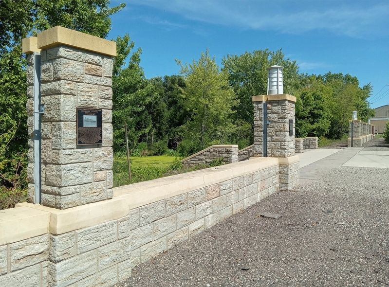
Location. 44° 56.569′ N, 93° 3.844′ W. Marker is in Saint Paul, Minnesota, in Ramsey County. It is in Concord-Robert. Marker is on Bayfield Street east of Plato Boulevard, on the left when traveling east. The marker is mounted on the floodwall north of the Saint Paul Downtown Airport parking lot. Touch for map. Marker is at or near this postal address: 644 Bayfield Street, Saint Paul MN 55107, United States of America. Touch for directions.
Other nearby markers. At least 8 other markers are within walking distance of this marker. Saint Paul Downtown Airport (here, next to this marker); Saint Paul Downtown Airport Seaplane Harbor (here, next to this marker); Indian Mounds Park "Airway Beacon" (within shouting distance of this marker); Riverside Hangars (approx. 0.3 miles away); a different marker also named The Indian Mounds Park "Airway" Beacon (approx. 0.4 miles away); This is a Burial Place (approx. half a mile away); Geology of Minnesota (approx. half a mile away); Charles W. Holman (approx. 0.6 miles away). Touch for a list and map of all markers in Saint Paul.
Credits. This page was last revised on October 10, 2023. It was originally submitted on October 10, 2023, by McGhiever of Minneapolis, Minnesota. This page has been viewed 65 times since then and 14 times this year. Photos: 1, 2. submitted on October 10, 2023, by McGhiever of Minneapolis, Minnesota. • J. Makali Bruton was the editor who published this page.

