Carleton Place in Lanark County, Ontario — Central Canada (North America)
Memorial Park
Get to know Carleton Place
— History —
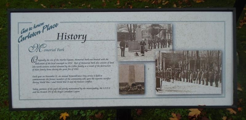
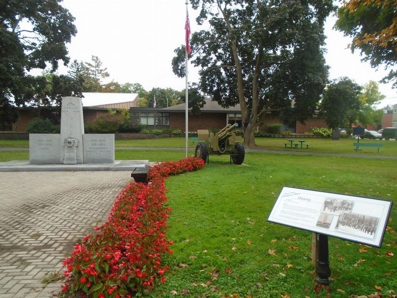
Originally the site of the Market Square, Memorial Park was created with the dedication of the local cenotaph in 1924. Part of Memorial Park also consists of land (the north-eastern section) donated by the Gillies family as a result of the destruction of their family home during the great fire of 1910.
Each year on November 11, an annual Remembrance Day service is held to commemorate the former members of the community who gave the supreme sacrifice during World War I and World War II and the Korean Conflict.
Today, portions of the park are jointly maintained by the municipality, the I.O.D.E. and the Branch 192 of the Royal Canadian Legion[.]
Topics. This historical marker is listed in these topic lists: Patriots & Patriotism • War, Korean • War, World I • War, World II. A significant historical date for this entry is November 11, 1924.
Location. 45° 8.401′ N, 76° 8.659′ W. Marker is in Carleton Place, Ontario, in Lanark County. Marker is at the intersection of Franklin Street and Beckwith Street, on the right when traveling east on Franklin Street. Touch for map. Marker is at or near this postal address: 46 Franklin Street, Carleton Place ON K7C 1R6, Canada. Touch for directions.
Other nearby markers. At least 8 other markers are within walking distance of this marker. A different marker also named Memorial Park (a few steps from this marker); Memorial Park Cenotaph (a few steps from this marker); Zion Presbyterian Church Cornerstone (a few steps from this marker); Captain/Capitaine A. Roy Brown, D.S.C. (within shouting distance of this marker); Post Office and Federal Building (about 150 meters away, measured in a direct line); The Herald and Canadian Tire (about 150 meters away); Town Hall Square Historical Murals (about 180 meters away); The Town Hall Square Millennium Project (about 180 meters away). Touch for a list and map of all markers in Carleton Place.
Credits. This page was last revised on October 12, 2023. It was originally submitted on October 12, 2023, by William Fischer, Jr. of Scranton, Pennsylvania. This page has been viewed 42 times since then and 3 times this year. Photos: 1, 2. submitted on October 12, 2023, by William Fischer, Jr. of Scranton, Pennsylvania.

