Deadwood in Lawrence County, South Dakota — The American Midwest (Upper Plains)
Wall & Main Street: Commercial Center
A Trail to Deadwood's Past
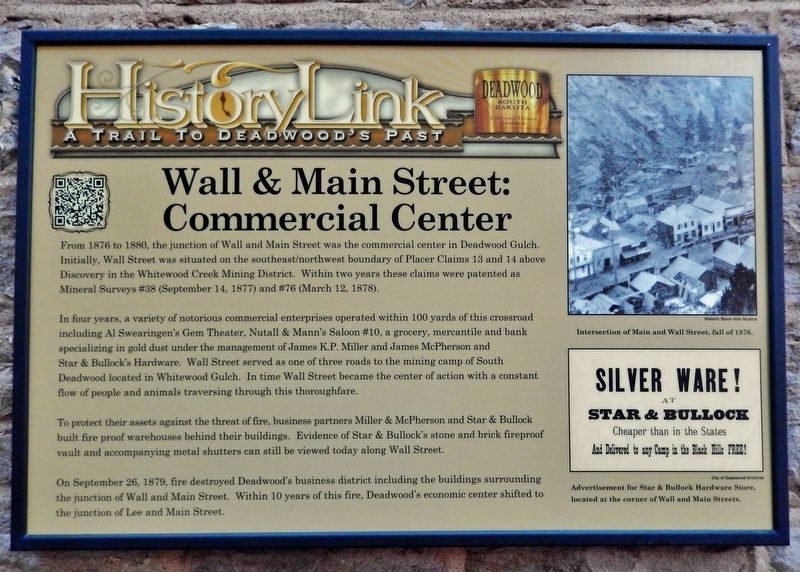
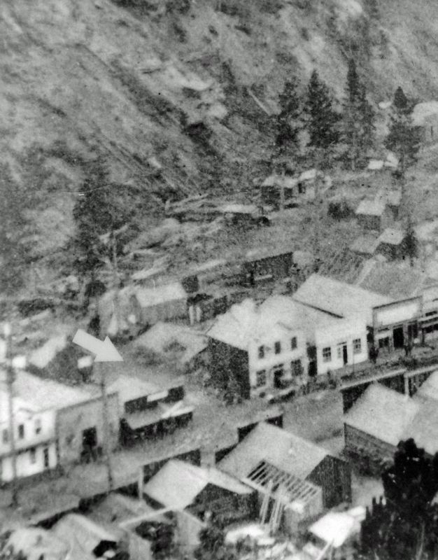
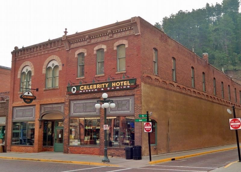
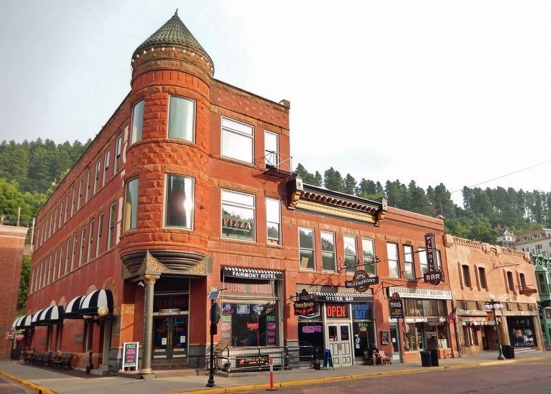
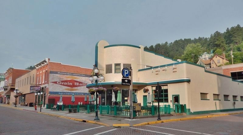
From 1876 to 1880, the junction of Wall and Main Street was the commercial center in Deadwood Gulch. Initially, Wall Street was situated on the southeast/northwest boundary of Placer Claims 13 and 14 above Discovery in the Whitewood Creek Mining District. Within two years these claims were patented as Mineral Surveys #38 (September 14, 1877) and #76 (March 12, 1878).
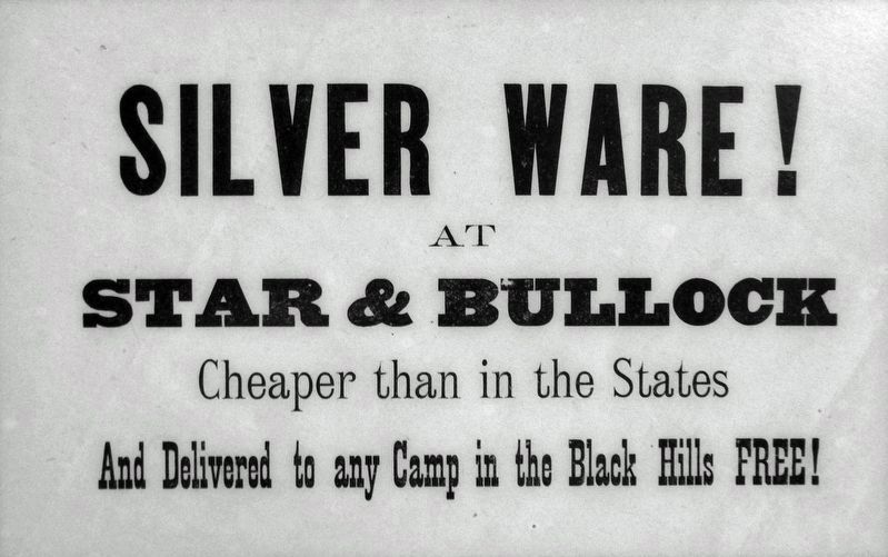
In four years, a variety of notorious commercial enterprises operated within 100 yards of this crossroad including Al Swearingen's Gem Theater, Nutall & Mann's Saloon #10, a grocery, mercantile and bank specializing in gold dust under the management of James K.P. Miller and James McPherson and Star & Bullocks Hardware. Wall Street served as one of three roads to the mining camp of South Deadwood located in Whitewood Gulch. In time Wall Street became the center of action with a constant flow of people and animals traversing through this thoroughfare.
To protect their assets against the threat of fire, business partners Miller & McPherson and Star & Bullock built fire proof warehouses behind their buildings. Evidence of Star & Bullock's stone and brick fireproof vault and accompanying metal shutters can still be viewed today along Wall Street.
On September 26, 1879, fire destroyed Deadwood's business district including the buildings surrounding the junction of Wall and Main Street. Within 10 years of this fire, Deadwood's economic center shifted to the junction of Lee and Main Street.
Erected by Deadwood Historic Preservation Commission.
Topics. This historical marker is listed in these topic lists: Architecture • Disasters • Industry & Commerce. A significant historical date for this entry is September 26, 1879.
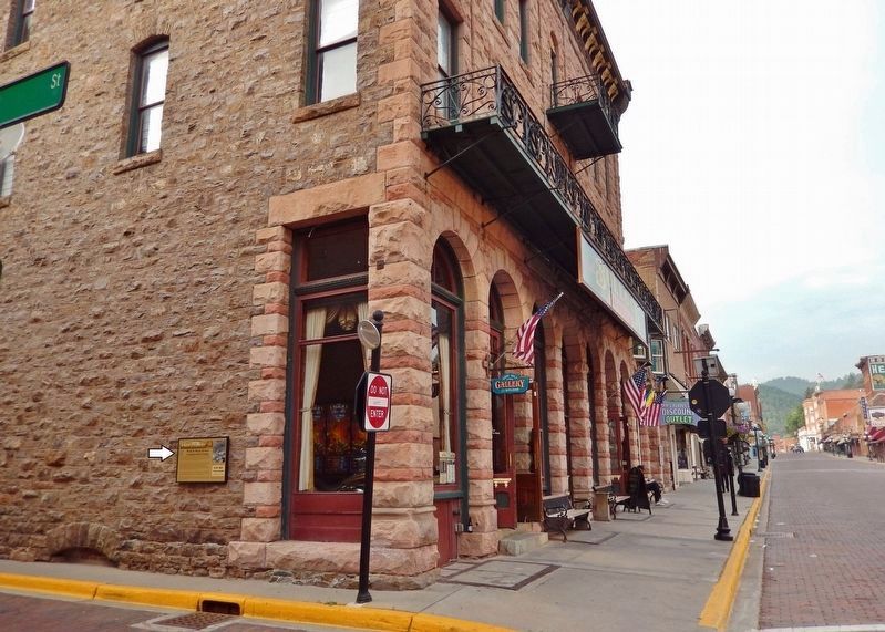
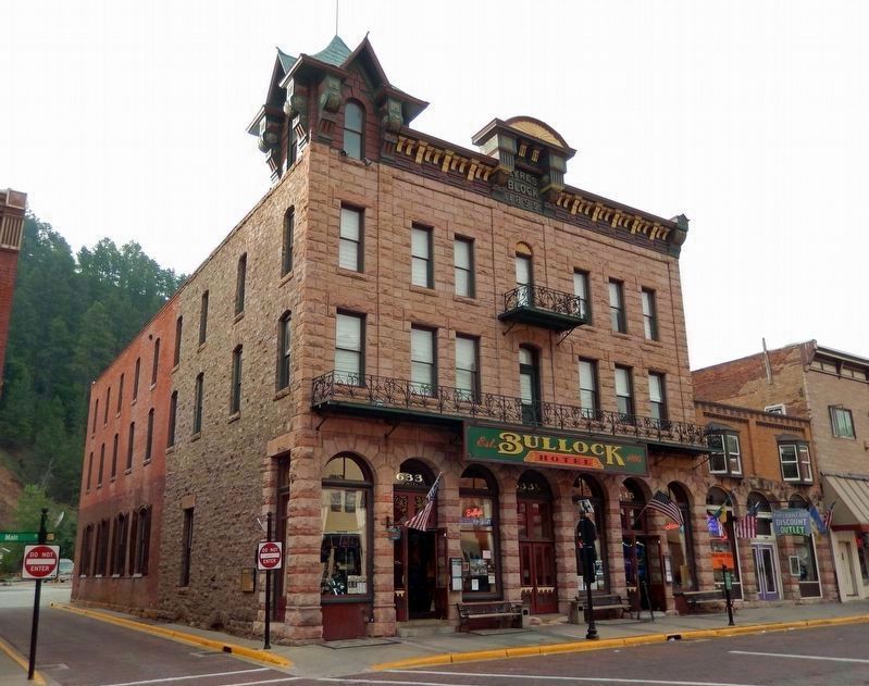
Location. 44° 22.672′ N, 103° 43.743′ W. Marker is in Deadwood, South Dakota, in Lawrence County. Marker is at the intersection of Wall Street and Main Street, on the left when traveling west on Wall Street. The marker is mounted at eye-level near the northwest corner of the Historic Bullock Hotel, facing Wall Street. Touch for map. Marker is at or near this postal address: 633 Main Street, Deadwood SD 57732, United States of America. Touch for directions.
Other nearby markers. At least 8 other markers are within walking distance of this marker. Jewish American Pioneers and Deadwood (within shouting distance of this marker); The Badlands (within shouting distance of this marker); Historic Site Saloon Number 10 (within shouting distance of this marker); Early Placer Mining Operations in Deadwood (within shouting distance of this marker); Historic Facade Replication (within shouting distance of this marker); The Fire of 1879 (about 400 feet away, measured in a direct line); Deadwood 1876 (about 500 feet away); Broadway Street (about 500 feet away). Touch for a list and map of all markers in Deadwood.
Credits. This page was last revised on October 19, 2023. It was originally submitted on October 19, 2023, by Cosmos Mariner of Cape Canaveral, Florida. This page has been viewed 77 times since then and 20 times this year. Photos: 1, 2, 3, 4, 5, 6, 7, 8. submitted on October 19, 2023, by Cosmos Mariner of Cape Canaveral, Florida.
