The Loop District in Chicago in Cook County, Illinois — The American Midwest (Great Lakes)
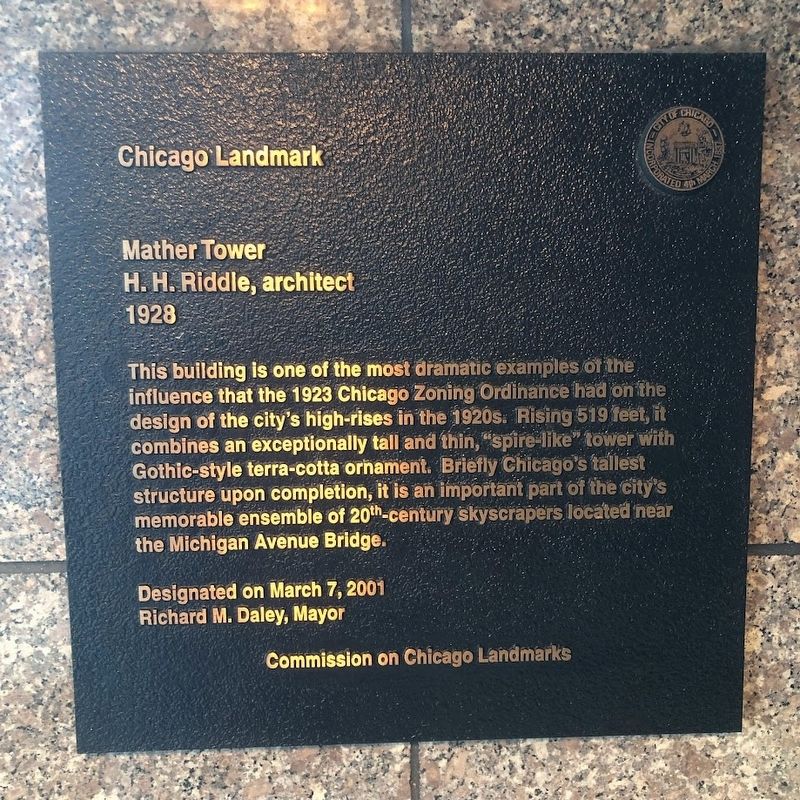
Mather Tower
H.H. Riddle, architect; 1928
— Chicago Landmark —
Designated on March 7, 2001
Richard M. Daley, Mayor
Erected 2001 by City of Chicago.
Topics and series. This historical marker is listed in this topic list: Architecture. In addition, it is included in the Illinois, Chicago Landmarks Commission series list. A significant historical year for this entry is 1928.
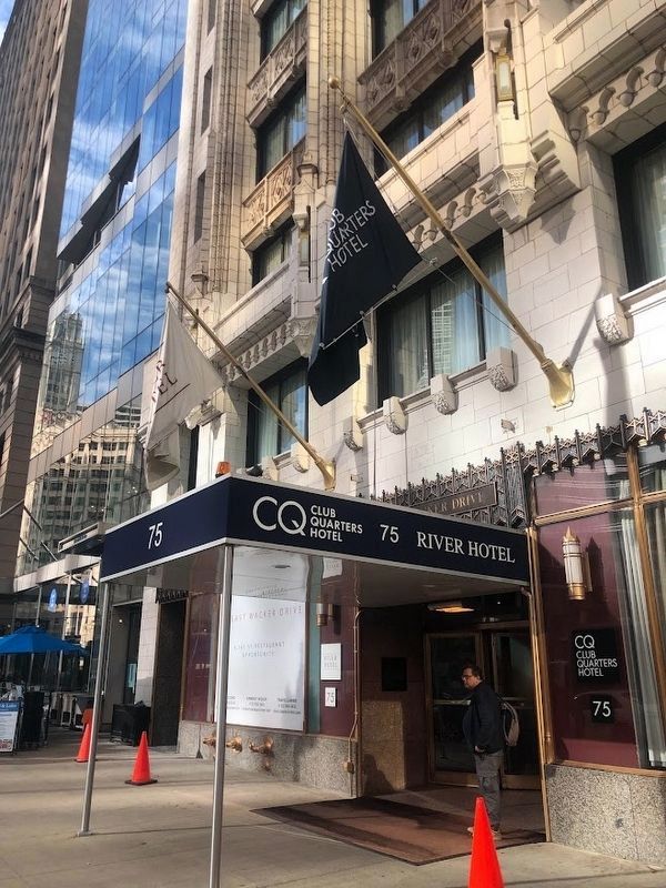
Location. 41° 53.264′ N, 87° 37.532′ W. Marker is in Chicago, Illinois, in Cook County. It is in The Loop District. Marker is on East Wacker Drive west of Michigan Avenue, on the right when traveling east. The marker is near the entrance to the Club Quarters Hotel, which occupies the Mather Tower. Touch for map. Marker is at or near this postal address: 75 East Wacker Drive, Chicago IL 60601, United States of America. Touch for directions.
Other nearby markers. At least 8 other markers are within walking distance of this marker. Old Fort Dearborn (within shouting distance of this marker); Site of Fort Dearborn (about 300 feet away, measured in a direct line); 333 North Michigan Building (about 300 feet away); Fort Dearborn (about 300 feet away); Chicago River (about 400 feet away); Rene Robert Cavalier Sieur de La Salle (about 400 feet away); Carbide and Carbon Building (about 400 feet away); Old Republic Building (Originally the Bell Building) (about 400 feet away). Touch for a list and map of all markers in Chicago.
Also see . . . Chicago Landmarks: Mather Tower.
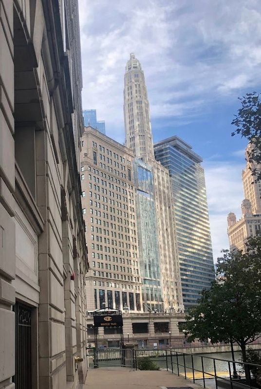
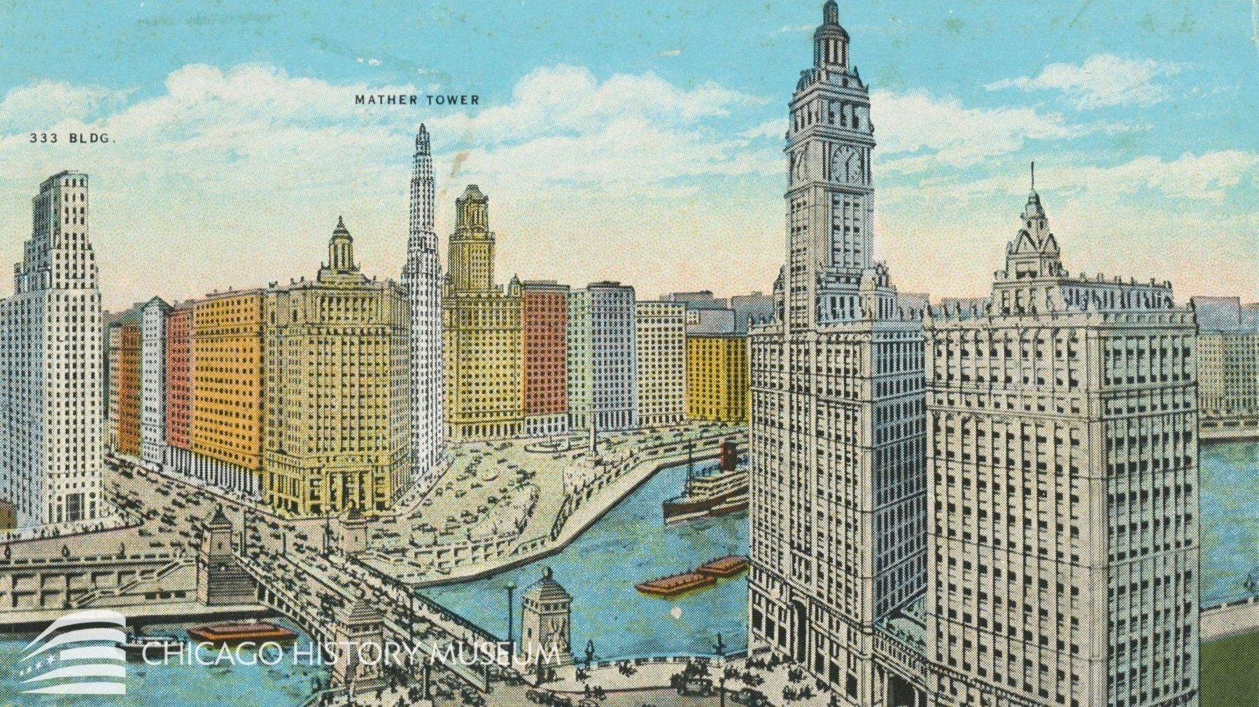
Excerpt from the City of Chicago: "This building is Chicago's most slender skyscraper, a 'Jazz Age' silhouette against the city's dramatic skyline. Clad in Gothic-inspired terra cotta, Mather Tower is one of Chicago's finest 'Modernistic' skyscrapers, combining modern form with lush historic ornament both in its exterior and interior. The form of this 'needle' skyscraper was encouraged by the 1923 Chicago Zoning Ordinance which called for tall, slender, 'setback' towers. Mather Tower's design-a tower with many shallow setbacks rising to a height of over 500 feet-epitomizes the verticality possible under this pioneering zoning ordinance."(Submitted on October 21, 2023, by Sean Flynn of Oak Park, Illinois.)
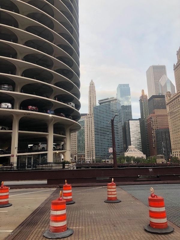
Photographed By Sean Flynn, October 18, 2023
4. Mather Tower
A view of the Mather Tower from the Dearborn Street Bridge. One of the towers of Marina City is in the foreground on the left. Other notable Chicago skyline features in this photo include the Seventeenth Church of Christ, Scientist, the short round building; the Jewelers Building on the right edge of the photo; the pointed Two Prudential Plaza; the square Aon Center (formerly the Amoco Building), at 1,136 feet the fourth tallest tower in Chicago; and the green, Art Deco-style Carbide and Carbon Building.
Credits. This page was last revised on October 27, 2023. It was originally submitted on October 21, 2023, by Sean Flynn of Oak Park, Illinois. This page has been viewed 70 times since then and 13 times this year. Photos: 1, 2, 3, 4, 5. submitted on October 21, 2023, by Sean Flynn of Oak Park, Illinois. • Andrew Ruppenstein was the editor who published this page.
