Arkadelphia in Clark County, Arkansas — The American South (West South Central)
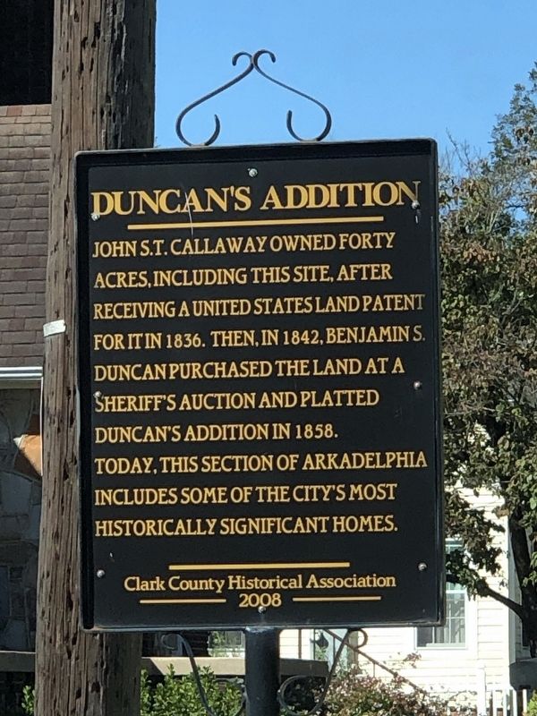
Duncan's Addition
Photographed by Duane and Tracy Marsteller, October 7, 2023
1. Duncan's Addition Marker
Erected 2008 by Clark County Historical Association.
Topics. This historical marker is listed in these topic lists: Architecture • Notable Places. A significant historical year for this entry is 1836.
Location. 34° 7.398′ N, 93° 3.069′ W. Marker is in Arkadelphia, Arkansas, in Clark County. It is at the intersection of Cherry Street and North 4th Street, on the right when traveling east on Cherry Street. Touch for map. Marker is at or near this postal address: 329 Cherry St, Arkadelphia AR 71923, United States of America. Touch for directions.

Regionally, this marker is in the Gulf Coastal Plain and in Caddo Territory. It is also in the American South, specifically in the Upper South, and in the Piney Woods. Globally, it is in North America, the Western Hemisphere,
this page online
Other nearby markers. At least 8 other markers are within walking distance of this marker: W.H. Young House (about 400 feet away, measured in a direct line); Freedmen's Bureau (approx. ¼ mile away); Arkadelphia Courthouses (approx. 0.3 miles away); Flanagin Law Office (approx. 0.3 miles away); Degray Dam Boulder (approx. 0.3 miles away); Clark County (approx. 0.3 miles away); Clark County Confederate Memorial (approx. 0.3 miles away); Clark County First Manufactory in Arkansas (approx. 0.3 miles away). Touch for a list and map of all markers in Arkadelphia.
Photographed by Duane and Tracy Marsteller, October 7, 2023
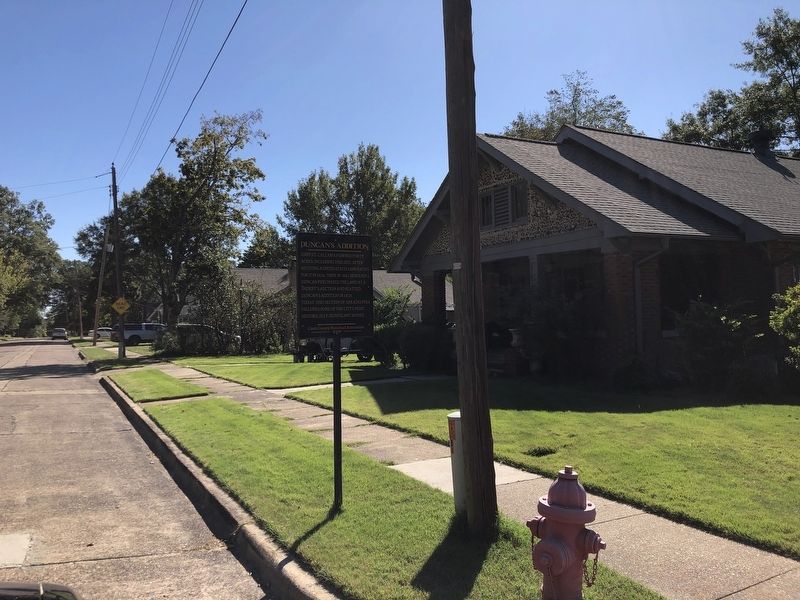
2. Duncan's Addition Marker
Photographed by Duane and Tracy Marsteller, October 7, 2023
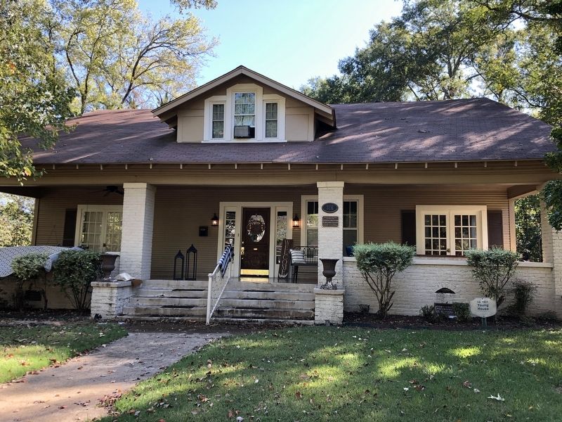
3. W.H. Young House (1921)
Built by William Hatley Young, a salesman for Fones Brothers Hardware Co. of Little Rock, the Craftsman-style house is on the National Register of Historic Places. It was in the Young family until 1952.
Photographed by Duane and Tracy Marsteller, October 7, 2023
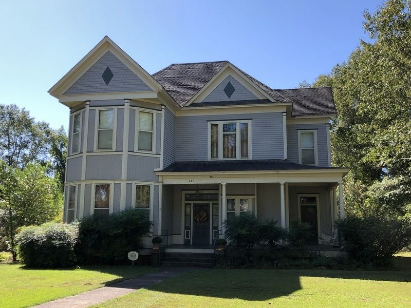
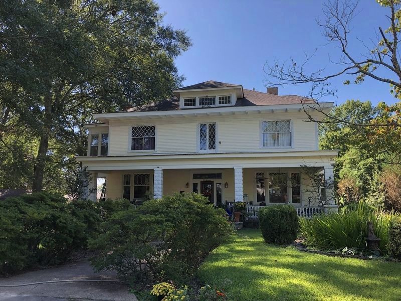
4. Nannie Gresham Biscoe House (1901)
Nancy “Nannie” Caroline Gresham Biscoe moved to Arkadelphia in 1883 after her husband's death and began teaching at a preparatory school that later became Ouachita Baptist University. She bought the homesite from the college and built the Queen Anne-style house as a family home and boarding house for students.
Photographed by Duane and Tracy Marsteller, October 7, 2023
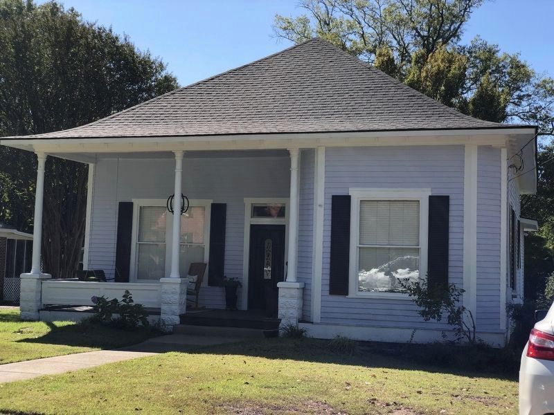
5. Noel Adams House
It was built by William Noel Adams (1881-1942), who was president of the Arkadelphia Milling Co. and later Sturgis Brothers Milling Co. He was influential in lobbying the state to acquire Henderson-Brown College, now known as Henderson State University, in 1929. He later moved to New Orleans, were he was a railroad executive.
Photographed by Duane and Tracy Marsteller, October 7, 2023
6. Herbert Stanford House
Herbert Floyd Stanford (1890-1957) was a World War I veteran who was a merchant.
Credits. This page was last revised on October 22, 2023. It was originally submitted on October 22, 2023, by Duane and Tracy Marsteller of Murfreesboro, Tennessee. This page has been viewed 531 times since then and 49 times this year. Photos: 1, 2, 3, 4, 5, 6. submitted on October 22, 2023, by Duane and Tracy Marsteller of Murfreesboro, Tennessee.
