Bonesteel in Gregory County, South Dakota — The American Midwest (Upper Plains)
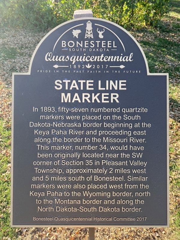
State Line Marker
Bonesteel Quasquicentennial
South Dakota
Quasquicentennial
1892 - 2017
Pride in the Past Faith in the Future
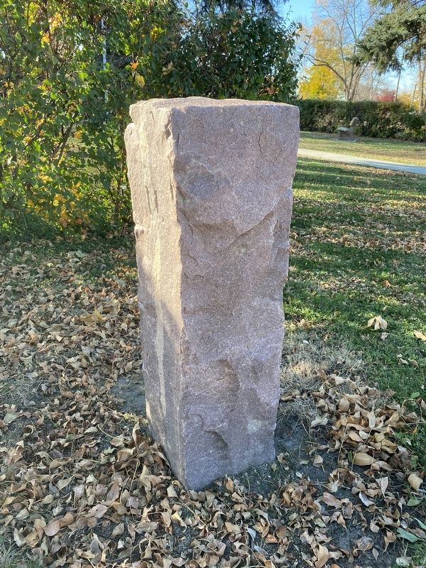
In 1893, fifty-seven numbered quartzite markers were placed on the South Dakota-Nebraska border beginning at the Keya Paha River and proceeding east along the border to the Missouri River. This marker, number 34, would have been originally located near the SW corner of Section 35 in Pleasant Valley Township, approximately 2 miles west and 5 miles south of Bonesteel. Similar markers were also placed west from the Keya Paha to the Wyoming border, north to the Montana border and along the North Dakota-South Dakota border.
Erected 2017 by Bonesteel Quasquicentennial Historical Committee.
Topics. This historical marker is listed in this topic list: Political Subdivisions. A significant historical year for this entry is 1893.
Location. 43° 4.684′ N, 98° 56.69′ W. Marker is in Bonesteel, South Dakota, in Gregory County. Marker is on Mellette Street north of 1st Avenue, on the left when traveling north. Touch for map. Marker is in this post office area: Bonesteel SD 57317, United States of America. Touch for directions.
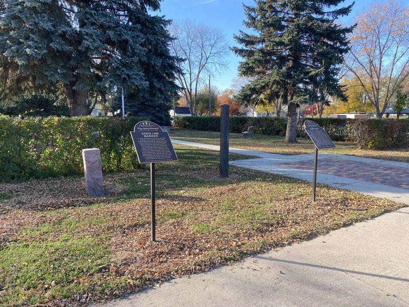
Other nearby markers. At least 8 other markers are within 11 miles of this marker, measured as the crow flies. Iron Post (here, next to this marker); Legacy Park (a few steps from this marker); Bonesteel American Legion Memorial (within shouting distance of this marker); Battle of Bonesteel (approx. half a mile away); Fairfax Fire Bell (approx. 4˝ miles away); Fairfax Veterans Memorial (approx. 4˝ miles away); Bethlehem German Congregational Church (approx. 8˝ miles away); Lost Airmen of World War II (approx. 11.1 miles away in Nebraska). Touch for a list and map of all markers in Bonesteel.
Credits. This page was last revised on October 24, 2023. It was originally submitted on October 24, 2023. This page has been viewed 65 times since then and 17 times this year. Photos: 1, 2, 3. submitted on October 24, 2023.


