Manning in Clarendon County, South Carolina — The American South (South Atlantic)
Clarendon County / Manning
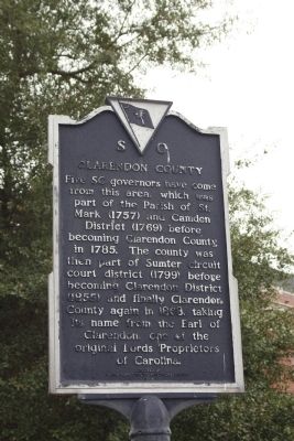
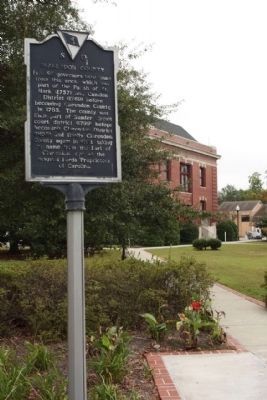
Five SC governors have come from this area, which was part of the Parish of St. Mark (1757) and Camden District (1769) before becoming Clarendon County in 1785. The county was then part of Sumter circuit court district (1799) before becoming Clarendon District (1855) and finally Clarendon County again in 1868, taking its name from the Earl of Clarendon, one of the original Lords Proprietors of Carolina.
Manning
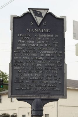
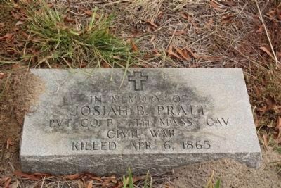
Manning, established in 1855 as the seat of Clarendon District, was incorporated in 1861, its town limits extending ½ mile from the courthouse in all directions. In 1865, the town was partially burned by Union troops under General Edward E. Potter. About two blocks N. of here on Church St. is the grave of Pvt. Josiah B. Pratt, one of Potter's soldiers, who was killed in this foray only a few days before Lee's surrender at Appomattox.
Erected 1988 by Clarendon County Historical Society. (Marker Number 14-10.)
Topics. This historical marker is listed in these topic lists: Political Subdivisions • Settlements & Settlers. A significant historical year for this entry is 1785.
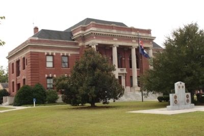
Location. 33° 41.702′ N, 80° 12.709′ W. Marker is in Manning, South Carolina, in Clarendon County. Marker is at the intersection of West Boyce Street (State Highway 261) and South Mill Street (State Highway 260), on the left when traveling west on West Boyce Street. Located at the Northwest corner of the Courthouse grounds. Touch for map. Marker is in this post office area: Manning SC 29102, United States of America. Touch for directions.
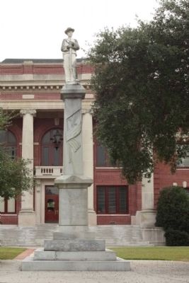
Other nearby markers. At least 8 other markers are within walking distance of this marker. Clarendon County Confederate Monument (within shouting distance of this marker); Clarendon County Veterans Memorial (within shouting distance of this marker); Swamp Fox at Ox Swamp (about 400 feet away, measured in a direct line); Murray's Ferry - Santee River (about 400 feet away); Francis Marion Reflections (about 500 feet away); The Swamp Fox (about 500 feet away); Trinity A.M.E. Church (about 600 feet away); Fuel 24 (about 700 feet away). Touch for a list and map of all markers in Manning.
Regarding Clarendon County / Manning. has a name of historical significance as it is named after Edward Hyde, the Earl of Clarendon, friend and supporter of Charles II of England, and one time Lord High Chancellor of England. He was one of the lords proprietors to whom the King gave all the land here abouts.(Clarendon County, S.C. Gov.)
Credits. This page was last revised on June 16, 2016. It was originally submitted on October 21, 2009, by Mike Stroud of Bluffton, South Carolina. This page has been viewed 1,317 times since then and 46 times this year. Photos: 1, 2, 3, 4, 5, 6. submitted on October 21, 2009, by Mike Stroud of Bluffton, South Carolina. • Craig Swain was the editor who published this page.
