Cumby in Hopkins County, Texas — The American South (West South Central)
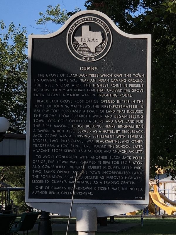
Cumby
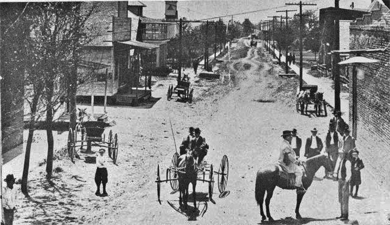
Black Jack Grove Post Office opened in 1848 in the home of John W. Matthews, the first postmaster. In 1851 D. W. Cole purchased a tract of land that included the grove from Elizabeth Wren and began selling town lots. Cole operated a store and gave land for the first Masonic Lodge building. Henry Bingham ran a tavern which also served as a hotel. By 1860, Black Jack Grove was a thriving settlement with several stores, two physicians, two blacksmiths, and other tradesmen. A log structure housed the school. Later a vacant store served as a school and church facility.
To avoid confusion with another Black Jack Post Office, the town was renamed in 1896 for legislator and Confederate veteran Robert H. Cumby. After 1900, two banks opened and the town incorporated. Later the population began to decline as improved highways lessened Cumby's importance as a trading center.
One of Cumby's best-known citizens was the noted author Ben K. Green (1912-1974).
Erected 1979 by Texas Historical Commission. (Marker Number 7306.)
Topics. This historical marker is listed in this topic list: Political Subdivisions. A significant historical year for this entry is 1848.
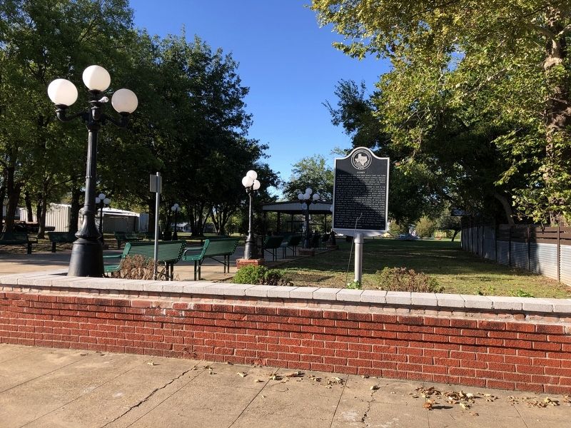
Location. 33° 8.257′ N, 95° 50.397′ W. Marker is in Cumby, Texas, in Hopkins County. Marker is on West Main Street east of Commerce Street (County Road 275), on the left when traveling east. Touch for map. Marker is at or near this postal address: 110 W Main St, Cumby TX 75433, United States of America. Touch for directions.
Other nearby markers. At least 8 other markers are within 9 miles of this marker, measured as the crow flies. Site of Plunkett School (approx. 2.8 miles away); Mt. Zion Churches and Cemetery (approx. 4˝ miles away); Oakland Cumberland Presbyterian Church (approx. 6.7 miles away); Stewart Cemetery (approx. 6.9 miles away); John T. Knight (approx. 7.8 miles away); President’s House (approx. 8.2 miles away); Site of Early Commerce Schools (approx. 8.2 miles away); Josiah Hart Jackson, Texas Ranger (approx. 8.2 miles away).
Also see . . . Cumby Has A Rough & Ready History As 'Blackjack Grove'. Carol Taylor, chairman of the Hunt County Historical Commission, relates the history of the Hopkins County town of Cumby, as a "rip roarin'" Wild West cattle town known as "Black Jack Grove." (John Mark Dempsey, KETR-FM, posted Aug. 29, 2019) (Submitted on October 25, 2023, by Duane and Tracy Marsteller of Murfreesboro, Tennessee.)
Credits. This page was last revised on October 25, 2023. It was originally submitted on October 25, 2023, by Duane and Tracy Marsteller of Murfreesboro, Tennessee. This page has been viewed 85 times since then and 34 times this year. Photos: 1, 2, 3. submitted on October 25, 2023, by Duane and Tracy Marsteller of Murfreesboro, Tennessee.


