Washburn in McLean County, North Dakota — The American Midwest (Upper Plains)
The Washburn Plant
— Washburn Discovery Trail/Lewis & Clark Legacy Trail —
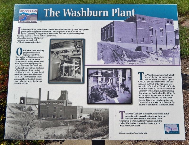
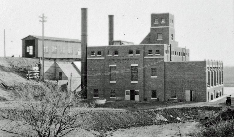
In the early 1920s, most North Dakota towns were served by small local power plants producing direct current (DC) electric power. In 1926, Otter Tail Power Company of Fergus Falls, Minnesota, was one of several companies building a series of power stations generating alternating current (AC) power connected by a network of highlines across the state.
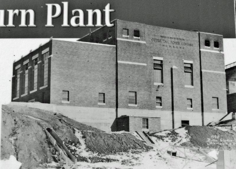
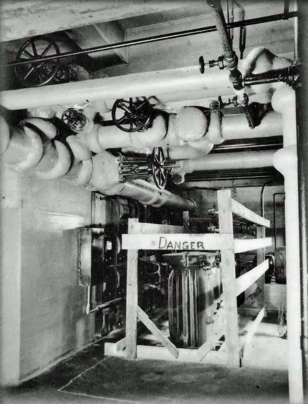
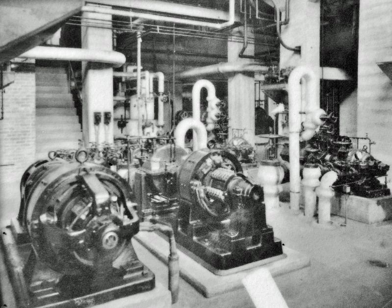
Otter Tail's 1926 building program included a highline west from Carrington to Washburn, where it would be served by a new, lignite-coal-burning power plant with a generating capacity of 3,000 kilowatts. The brick and steel plant was built on the bank of the Missouri River west of Washburn. It was completed and went into operation on October 12, 1926. The Washburn Plant was considered the first sizeable power plant to burn lignite coal in North Dakota.
The Washburn power plant initially burned lignite coal mined near Wilton by the Washburn Lignite Coal Co., and delivered by the Soo Line railroad. In 1928, Otter Tail took over operation of the mine. Then in 1930, the mine was leased by the Truax-Traer Coal Company which began surface mining. The mine was finally closed in 1946. For about a year, lignite was hauled from Truax-Traer's Dakota Star Mine near Hazen. Then a new surface mine, the Custer Mine near Garrison, became the source of coal for the Washburn Plant.
The Otter Tail Plant at Washburn operated at full capacity until hydroelectric power from the Garrison Dam became available in 1956. Thereafter, it was on standby service until the end of 1969 when it was shut down and the plant was demolished.
Erected by Washburn Discovery Trail.
Topics. This historical marker is listed in this topic list: Industry & Commerce. A significant historical date for this entry is October 12, 1926.
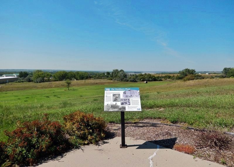
Location. 47° 17.701′ N, 101° 2.358′ W. Marker is in Washburn, North Dakota, in McLean County. Marker can be reached from State Highway 200, half a mile south of 8th Street Southwest (Border Lane), on the right when traveling south. The marker is located along the Washburn Discovery Trail, about 0.6 mile southeast of the Lewis and Clark Interpretive Center. Access to the marker is via bicycle or foot along the trail. Touch for map. Marker is in this post office area: Washburn ND 58577, United States of America. Touch for directions.
Other nearby markers. At least 8 other markers are within walking distance of this marker. Nettle Creek Country School (approx. ¼ mile away); Walter R. Hjelle Bridge (approx. 0.4 miles away); Early Boats on the Missouri (approx. 0.4 miles away); Mandan Winter / Harmony Park (approx. half a mile away); Sioux (approx. half a mile away); The Sioux Ferry Boat (approx. half a mile away); Ferry Boats on the Missouri (approx. half a mile away); River Boats on the Missouri (approx. 0.7 miles away). Touch for a list and map of all markers in Washburn.
Related markers. Click here for a list of markers that are related to this marker. Washburn Discovery Trail
Credits. This page was last revised on October 27, 2023. It was originally submitted on October 26, 2023, by Cosmos Mariner of Cape Canaveral, Florida. This page has been viewed 85 times since then and 36 times this year. Photos: 1, 2, 3, 4, 5, 6. submitted on October 26, 2023, by Cosmos Mariner of Cape Canaveral, Florida.
